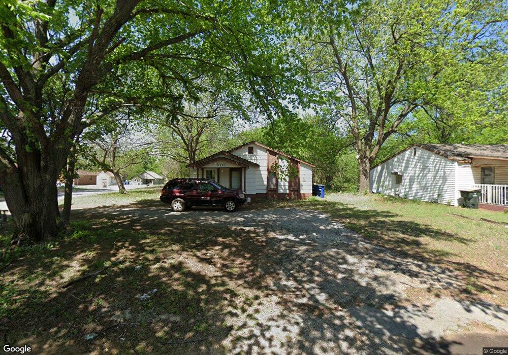
901 N 5th St Duncan, OK 73533
Estimated Value: $40,000 - $47,000
2
Beds
1
Bath
748
Sq Ft
$60/Sq Ft
Est. Value
About This Home
This home is located at 901 N 5th St, Duncan, OK 73533 and is currently estimated at $44,531, approximately $59 per square foot. 901 N 5th St is a home located in Stephens County with nearby schools including Emerson Elementary School, Duncan Middle School, and Duncan High School.
Ownership History
Date
Name
Owned For
Owner Type
Purchase Details
Closed on
Nov 24, 2008
Sold by
Briones Vickie Elvira
Bought by
M&S Rentals Llc
Current Estimated Value
Purchase Details
Closed on
Nov 19, 2004
Sold by
Rich Jon and Rich Paula
Purchase Details
Closed on
Feb 14, 1996
Sold by
Loftis Dewey E
Create a Home Valuation Report for This Property
The Home Valuation Report is an in-depth analysis detailing your home's value as well as a comparison with similar homes in the area
Purchase History
| Date | Buyer | Sale Price | Title Company |
|---|---|---|---|
| M&S Rentals Llc | $17,000 | Stewart Abstract & Title Of | |
| -- | -- | -- | |
| -- | $10,000 | -- |
Source: Public Records
Tax History
| Year | Tax Paid | Tax Assessment Tax Assessment Total Assessment is a certain percentage of the fair market value that is determined by local assessors to be the total taxable value of land and additions on the property. | Land | Improvement |
|---|---|---|---|---|
| 2025 | $135 | $1,601 | $250 | $1,351 |
| 2024 | $124 | $1,452 | $250 | $1,202 |
| 2023 | $124 | $1,452 | $250 | $1,202 |
| 2022 | $112 | $1,317 | $250 | $1,067 |
| 2021 | $150 | $1,763 | $250 | $1,513 |
| 2020 | $138 | $1,599 | $250 | $1,349 |
| 2019 | $158 | $1,823 | $250 | $1,573 |
| 2018 | $173 | $1,940 | $250 | $1,690 |
| 2017 | $167 | $1,940 | $250 | $1,690 |
| 2016 | $174 | $2,051 | $250 | $1,801 |
| 2015 | $166 | $1,953 | $250 | $1,703 |
| 2014 | $166 | $1,860 | $495 | $1,365 |
Source: Public Records
Map
Nearby Homes
- 512 W Pine Ave
- 1112 N 5th St
- 722 N 8th St
- 1112 N 4th St
- 509 N 3rd St
- 1061 N 8th St
- 1216 N 8th St
- 905 W Pine Ave
- 1275 N 10th St
- 203 E Spruce Ave
- 809 W Beech Ave
- 915 W Chestnut Ave
- 1037 W Hickory Ave
- 206 E Pine Ave
- 200 Forest Hills Dr
- 1108 Rock Springs Cir
- 512 W Oak Ave
- 703 N C St
- 1112 N 12th St
- 1205 N 11th St
Your Personal Tour Guide
Ask me questions while you tour the home.