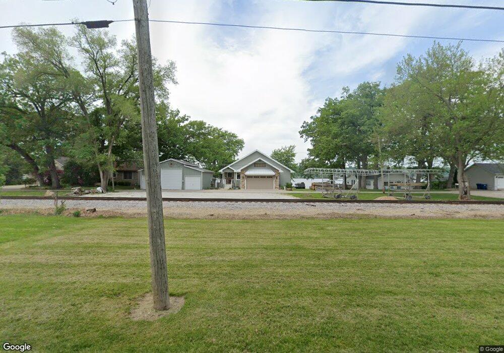
901 N River Dr Port Byron, IL 61275
Estimated Value: $386,000 - $405,376
--
Bed
--
Bath
2,900
Sq Ft
$137/Sq Ft
Est. Value
About This Home
This home is located at 901 N River Dr, Port Byron, IL 61275 and is currently estimated at $396,459, approximately $136 per square foot. 901 N River Dr is a home located in Rock Island County with nearby schools including Riverdale Elementary School, Riverdale Middle School, and Riverdale Senior High School.
Create a Home Valuation Report for This Property
The Home Valuation Report is an in-depth analysis detailing your home's value as well as a comparison with similar homes in the area
Home Values in the Area
Average Home Value in this Area
Tax History Compared to Growth
Tax History
| Year | Tax Paid | Tax Assessment Tax Assessment Total Assessment is a certain percentage of the fair market value that is determined by local assessors to be the total taxable value of land and additions on the property. | Land | Improvement |
|---|---|---|---|---|
| 2024 | $9,257 | $133,051 | $30,595 | $102,456 |
| 2023 | $9,257 | $122,065 | $28,069 | $93,996 |
| 2022 | $9,163 | $116,419 | $26,771 | $89,648 |
| 2021 | $8,961 | $110,349 | $25,375 | $84,974 |
| 2020 | $8,827 | $108,718 | $25,000 | $83,718 |
| 2019 | $4,354 | $53,454 | $25,000 | $28,454 |
| 2018 | $2,211 | $27,629 | $27,629 | $0 |
| 2017 | $2,178 | $27,629 | $27,629 | $0 |
| 2016 | $2,159 | $27,248 | $27,248 | $0 |
| 2015 | $5,602 | $70,044 | $25,487 | $44,557 |
| 2014 | $1,189 | $68,670 | $24,987 | $43,683 |
| 2013 | $1,189 | $68,670 | $24,987 | $43,683 |
Source: Public Records
Map
Nearby Homes
- 613 N High St
- LOT 201 James St
- 1204 N Cody Rd
- 1128 N Cody Rd
- 21780 Great River Rd
- 401 Oak Blvd
- 817 N 2nd St
- 127 Walnut St
- 21945 Great River Rd
- Lot A B C D N Cody Rd
- 1914 Ridgefield Dr
- 338 Benton St
- 320 N 2nd St
- 223 N 2nd St
- Lot 3 Lakeside Dr
- 401 N 8th St
- Lot 4 Lakeside Dr
- Lot 01 8th St
- Lot 004 8th St
- 902 Wild Dr W