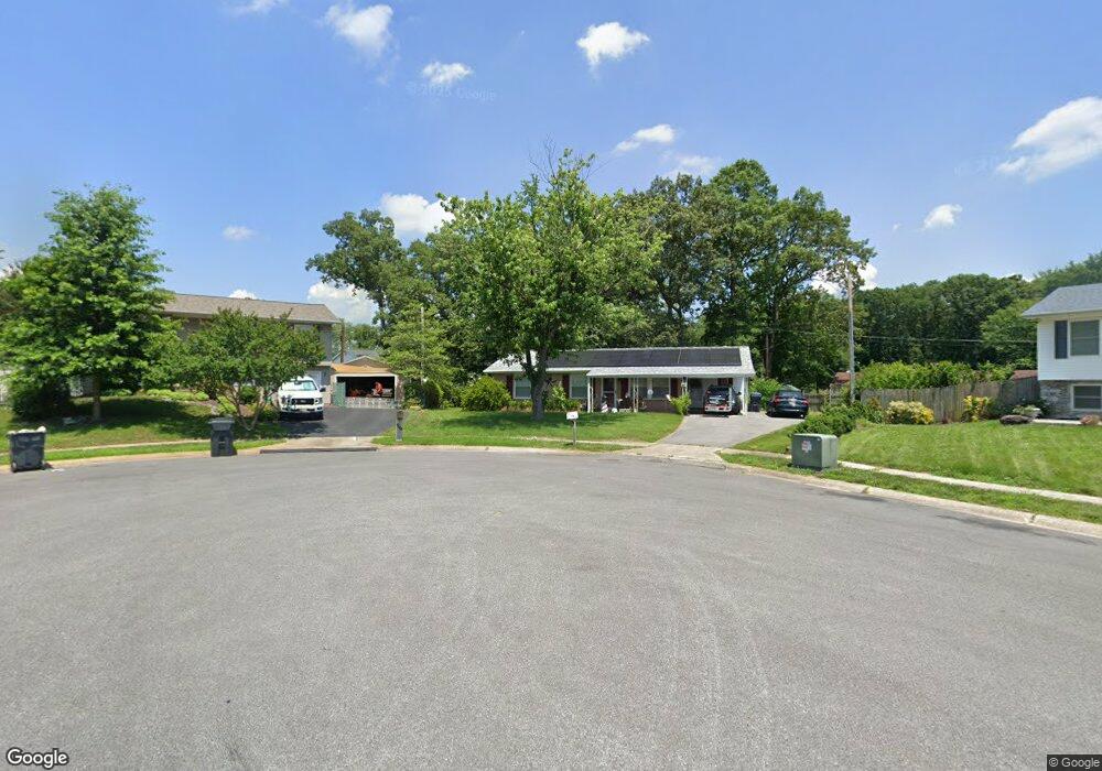
901 Prentiss Rd Waldorf, MD 20602
Estimated Value: $346,786 - $368,000
--
Bed
1
Bath
1,157
Sq Ft
$308/Sq Ft
Est. Value
About This Home
This home is located at 901 Prentiss Rd, Waldorf, MD 20602 and is currently estimated at $356,929, approximately $308 per square foot. 901 Prentiss Rd is a home located in Charles County with nearby schools including Dr. Samuel A. Mudd Elementary School, John Hanson Middle School, and Thomas Stone High School.
Ownership History
Date
Name
Owned For
Owner Type
Purchase Details
Closed on
Dec 30, 2004
Sold by
Klinger Kenneth Ingrid Hershey
Bought by
Batten Nancy S
Current Estimated Value
Purchase Details
Closed on
Dec 21, 2004
Sold by
Klinger Kenneth Ingrid Hershey
Bought by
Batten Nancy S
Purchase Details
Closed on
Jul 5, 1984
Sold by
Trask Associates
Bought by
Klinger Kenneth and Ingrid Hershey
Home Financials for this Owner
Home Financials are based on the most recent Mortgage that was taken out on this home.
Original Mortgage
$41,000
Interest Rate
14.5%
Purchase Details
Closed on
Jun 30, 1981
Sold by
Hamilton Charles H and Hamilton Jane L
Bought by
Trask Associates
Home Financials for this Owner
Home Financials are based on the most recent Mortgage that was taken out on this home.
Original Mortgage
$46,728
Interest Rate
16.62%
Create a Home Valuation Report for This Property
The Home Valuation Report is an in-depth analysis detailing your home's value as well as a comparison with similar homes in the area
Home Values in the Area
Average Home Value in this Area
Purchase History
| Date | Buyer | Sale Price | Title Company |
|---|---|---|---|
| Batten Nancy S | $219,900 | -- | |
| Batten Nancy S | $219,900 | -- | |
| Klinger Kenneth | $59,000 | -- | |
| Trask Associates | $52,000 | -- |
Source: Public Records
Mortgage History
| Date | Status | Borrower | Loan Amount |
|---|---|---|---|
| Previous Owner | Klinger Kenneth | $41,000 | |
| Previous Owner | Trask Associates | $46,728 | |
| Closed | Batten Nancy S | -- |
Source: Public Records
Tax History Compared to Growth
Tax History
| Year | Tax Paid | Tax Assessment Tax Assessment Total Assessment is a certain percentage of the fair market value that is determined by local assessors to be the total taxable value of land and additions on the property. | Land | Improvement |
|---|---|---|---|---|
| 2025 | $8,440 | $266,500 | -- | -- |
| 2024 | $3,734 | $259,100 | $125,000 | $134,100 |
| 2023 | $3,432 | $240,133 | $0 | $0 |
| 2022 | $3,180 | $221,167 | $0 | $0 |
| 2021 | $2,751 | $202,200 | $95,000 | $107,200 |
| 2020 | $2,751 | $192,033 | $0 | $0 |
| 2019 | $2,648 | $181,867 | $0 | $0 |
| 2018 | $2,475 | $171,700 | $90,000 | $81,700 |
| 2017 | $2,365 | $163,900 | $0 | $0 |
| 2016 | -- | $156,100 | $0 | $0 |
| 2015 | $2,155 | $148,300 | $0 | $0 |
| 2014 | $2,155 | $148,300 | $0 | $0 |
Source: Public Records
Map
Nearby Homes
- 0 Smallwood Dr Unit MDCH2031694
- 302 Barksdale Ave
- 221 Brent Rd
- 1016 Stone Ave
- 314 Rivermont Dr
- 228 Garner Ave
- 110 Sherman Rd
- 139 Garner Ave
- 137 Garner Ave
- 307 Tompkins Ln
- 717 Barrington Dr
- 1115 Hamlin Rd
- 801 Roxbury Ct
- 119 Jefferson Rd
- 2625 Ferguson Ct
- 1205 Adams Ct
- 3864 Kelly Green Place
- 790 University Dr
- 3893 Light Arms Place
- 22 Amwich Ct