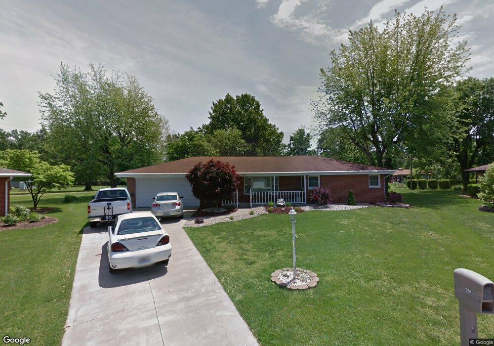
901 Robert Dr Godfrey, IL 62035
Estimated Value: $207,000 - $250,000
--
Bed
2
Baths
1,144
Sq Ft
$197/Sq Ft
Est. Value
About This Home
This home is located at 901 Robert Dr, Godfrey, IL 62035 and is currently estimated at $225,346, approximately $196 per square foot. 901 Robert Dr is a home located in Madison County with nearby schools including North Elementary School, Alton Middle School, and Alton High School.
Ownership History
Date
Name
Owned For
Owner Type
Purchase Details
Closed on
Aug 20, 2007
Sold by
Taake Orville and Taake Inez
Bought by
Kenney Jonathan E and Kenney Jennifer L
Current Estimated Value
Home Financials for this Owner
Home Financials are based on the most recent Mortgage that was taken out on this home.
Original Mortgage
$15,000
Outstanding Balance
$9,823
Interest Rate
7.25%
Mortgage Type
Unknown
Estimated Equity
$215,524
Purchase Details
Closed on
Sep 4, 2003
Sold by
Taake Orville and Taake Inez
Bought by
Taake Orville and Taake Inez
Create a Home Valuation Report for This Property
The Home Valuation Report is an in-depth analysis detailing your home's value as well as a comparison with similar homes in the area
Home Values in the Area
Average Home Value in this Area
Purchase History
| Date | Buyer | Sale Price | Title Company |
|---|---|---|---|
| Kenney Jonathan E | $150,000 | Premier Title & Escrow Co | |
| Taake Orville | -- | -- |
Source: Public Records
Mortgage History
| Date | Status | Borrower | Loan Amount |
|---|---|---|---|
| Open | Kenney Jonathan E | $15,000 | |
| Open | Kenney Jonathan E | $120,000 |
Source: Public Records
Tax History
| Year | Tax Paid | Tax Assessment Tax Assessment Total Assessment is a certain percentage of the fair market value that is determined by local assessors to be the total taxable value of land and additions on the property. | Land | Improvement |
|---|---|---|---|---|
| 2024 | $4,143 | $67,450 | $14,200 | $53,250 |
| 2023 | $4,143 | $62,270 | $13,110 | $49,160 |
| 2022 | $3,925 | $56,950 | $11,990 | $44,960 |
| 2021 | $3,541 | $53,560 | $11,280 | $42,280 |
| 2020 | $3,469 | $52,410 | $11,040 | $41,370 |
| 2019 | $3,542 | $51,040 | $10,750 | $40,290 |
| 2018 | $3,482 | $48,860 | $10,290 | $38,570 |
| 2017 | $3,319 | $48,860 | $10,290 | $38,570 |
| 2016 | $3,224 | $48,860 | $10,290 | $38,570 |
| 2015 | $2,888 | $47,330 | $9,970 | $37,360 |
| 2014 | $2,888 | $47,330 | $9,970 | $37,360 |
| 2013 | $2,888 | $47,330 | $9,970 | $37,360 |
Source: Public Records
Map
Nearby Homes
- 1102 Taylor Ave
- 1012 Richard Dr
- 801 Stamper Ln
- 3413 Greenwood Ln
- 406 Celesta St Unit 91
- 5000 Cavalier Ct
- 3 Summerfield Ln
- 208 Pine Ridge Dr
- 00 Pine Ridge Lot#52 Dr
- 1403 Ryan Dr
- 1400 Ryan Dr
- 5402 Woodland Meadows Dr
- 5404 Woodland Meadows Dr
- 1606 Paris Dr
- 5667 Humbert Rd
- 0 Humbert Rd Unit MIS25052876
- 369 Hand Dr
- 5221 Sundrop Ct
- 1809 Montview Ave
- 5230 Wickway Dr
Your Personal Tour Guide
Ask me questions while you tour the home.