901 Scuttle Hole Rd Water Mill, NY 11976
Estimated Value: $4,055,000
18
Beds
12
Baths
13,516
Sq Ft
$300/Sq Ft
Est. Value
About This Home
This home is located at 901 Scuttle Hole Rd, Water Mill, NY 11976 and is currently estimated at $4,055,000, approximately $300 per square foot. 901 Scuttle Hole Rd is a home located in Suffolk County with nearby schools including Southampton Elementary School, Southampton Intermediate School, and Southampton High School.
Ownership History
Date
Name
Owned For
Owner Type
Purchase Details
Closed on
Jun 7, 2019
Sold by
Gordon Cheryl K
Bought by
3 Ponds Farm Owner Llc
Current Estimated Value
Home Financials for this Owner
Home Financials are based on the most recent Mortgage that was taken out on this home.
Original Mortgage
$3,800,000
Outstanding Balance
$2,346,425
Interest Rate
4.1%
Mortgage Type
New Conventional
Estimated Equity
$1,708,575
Create a Home Valuation Report for This Property
The Home Valuation Report is an in-depth analysis detailing your home's value as well as a comparison with similar homes in the area
Home Values in the Area
Average Home Value in this Area
Purchase History
| Date | Buyer | Sale Price | Title Company |
|---|---|---|---|
| 3 Ponds Farm Owner Llc | $20,994,000 | -- | |
| 3 Ponds Farm Owner Llc | $20,994,000 | -- |
Source: Public Records
Mortgage History
| Date | Status | Borrower | Loan Amount |
|---|---|---|---|
| Open | 3 Ponds Farm Owner Llc | $3,800,000 | |
| Closed | 3 Ponds Farm Owner Llc | $3,800,000 |
Source: Public Records
Tax History
| Year | Tax Paid | Tax Assessment Tax Assessment Total Assessment is a certain percentage of the fair market value that is determined by local assessors to be the total taxable value of land and additions on the property. | Land | Improvement |
|---|---|---|---|---|
| 2024 | -- | $50,338,400 | $39,757,500 | $10,580,900 |
| 2023 | -- | $50,338,400 | $39,757,500 | $10,580,900 |
| 2022 | $222,718 | $50,338,400 | $39,757,500 | $10,580,900 |
| 2021 | $222,718 | $50,319,900 | $39,757,500 | $10,562,400 |
| 2020 | $197,090 | $50,324,200 | $39,757,500 | $10,566,700 |
| 2019 | $197,090 | $0 | $0 | $0 |
| 2018 | -- | $49,219,400 | $36,031,600 | $13,187,800 |
| 2017 | $208,725 | $49,219,400 | $36,031,600 | $13,187,800 |
| 2016 | $215,020 | $49,219,400 | $36,031,600 | $13,187,800 |
| 2015 | -- | $49,219,400 | $36,031,600 | $13,187,800 |
| 2014 | -- | $48,377,500 | $36,031,600 | $12,345,900 |
Source: Public Records
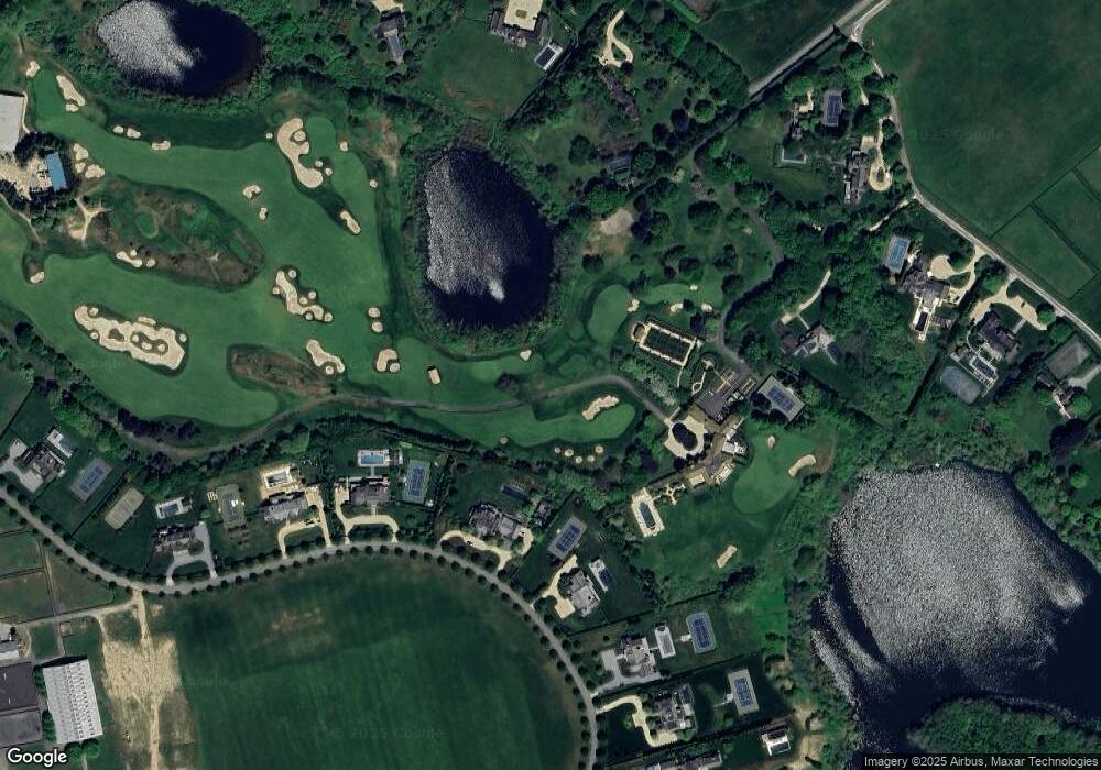
Map
Nearby Homes
- 439 Hayground Rd
- 2 Strongs Ln
- 361 Mitchell Ln
- 1366 Scuttle Hole Rd
- 652 Noyac Path
- 359 Noyac Path
- 2 Hickory Ln Unit 11A
- 7 Kellis Way
- 41 Snake Hollow Rd
- 136 Trelawney Rd
- 110 Halsey Ln
- 19 and 33 Bridgefield Rd
- 120 Halsey Ln
- 88 Rose Way
- 15 Hildreth Ln
- 125 Hildreth Ln
- 206 Maple Ln
- 74 Chester St
- 7 Cove Point Ct Unit 17
- 1593 Deerfield Rd
- 1011 Scuttle Hole Rd
- 1043 Scuttle Hole Rd
- 4 Two Trees Ln
- 6 Two Trees Ln
- 8 Two Trees Ln
- 10 Two Trees Ln
- 588 Hayground Rd
- 849 Hayground Rd
- 832 Scuttle Hole Rd
- 408 Mitchell Ln
- 582 Hayground Rd
- 12 Two Trees Ln
- 412 Mitchell Ln
- 1130 Scuttle Hole Rd
- 14 Two Trees Ln
- 37 Cooks Ln
- 680 Scuttle Hole Rd
- 939 Scuttle Hole Rd
- 1150 Scuttle Hole Rd
- 35 Cooks Ln
Your Personal Tour Guide
Ask me questions while you tour the home.