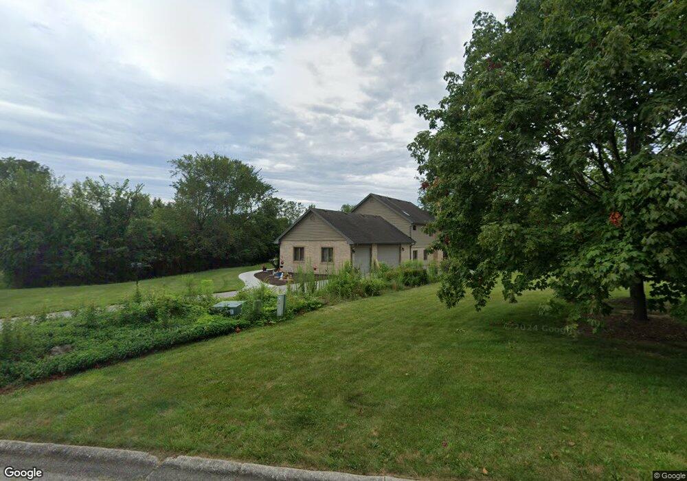
901 Shelly Ln New Lenox, IL 60451
Estimated Value: $564,000 - $643,000
--
Bed
--
Bath
--
Sq Ft
1.57
Acres
About This Home
This home is located at 901 Shelly Ln, New Lenox, IL 60451 and is currently estimated at $622,373. 901 Shelly Ln is a home located in Will County with nearby schools including Spencer Trail, Spencer Pointe, and Spencer Crossing Intermediate School.
Ownership History
Date
Name
Owned For
Owner Type
Purchase Details
Closed on
May 14, 2021
Sold by
Ruppel Mary
Bought by
Janca Joseph and Janca Wendy L
Current Estimated Value
Home Financials for this Owner
Home Financials are based on the most recent Mortgage that was taken out on this home.
Original Mortgage
$356,000
Outstanding Balance
$322,725
Interest Rate
3.12%
Mortgage Type
New Conventional
Estimated Equity
$299,648
Purchase Details
Closed on
Mar 31, 2021
Sold by
Ruppel Roger A
Bought by
Ruppel Mary
Home Financials for this Owner
Home Financials are based on the most recent Mortgage that was taken out on this home.
Original Mortgage
$356,000
Outstanding Balance
$322,725
Interest Rate
3.12%
Mortgage Type
New Conventional
Estimated Equity
$299,648
Purchase Details
Closed on
Nov 8, 1988
Bought by
Ruppel Roger A 8
Create a Home Valuation Report for This Property
The Home Valuation Report is an in-depth analysis detailing your home's value as well as a comparison with similar homes in the area
Home Values in the Area
Average Home Value in this Area
Purchase History
| Date | Buyer | Sale Price | Title Company |
|---|---|---|---|
| Janca Joseph | $445,000 | Chicago Title Insurance Co | |
| Ruppel Mary | -- | -- | |
| Ruppel Roger A 8 | $40,000 | -- |
Source: Public Records
Mortgage History
| Date | Status | Borrower | Loan Amount |
|---|---|---|---|
| Open | Janca Joseph | $356,000 |
Source: Public Records
Tax History Compared to Growth
Tax History
| Year | Tax Paid | Tax Assessment Tax Assessment Total Assessment is a certain percentage of the fair market value that is determined by local assessors to be the total taxable value of land and additions on the property. | Land | Improvement |
|---|---|---|---|---|
| 2024 | $14,867 | $196,832 | $55,277 | $141,555 |
| 2023 | $14,867 | $179,427 | $50,389 | $129,038 |
| 2022 | $13,400 | $165,294 | $46,420 | $118,874 |
| 2021 | $11,446 | $155,454 | $43,657 | $111,797 |
| 2020 | $11,557 | $149,907 | $42,099 | $107,808 |
| 2019 | $11,431 | $145,259 | $40,794 | $104,465 |
| 2018 | $11,586 | $140,252 | $39,388 | $100,864 |
| 2017 | $11,004 | $136,220 | $38,256 | $97,964 |
| 2016 | $10,691 | $132,574 | $37,232 | $95,342 |
| 2015 | $10,207 | $128,401 | $36,060 | $92,341 |
| 2014 | $10,207 | $126,816 | $35,615 | $91,201 |
| 2013 | $10,207 | $128,525 | $36,095 | $92,430 |
Source: Public Records
Map
Nearby Homes
- 12415 Foxborough Dr
- 19909 Foxborough Dr
- 2609 Walter Dr
- 12526 Surrey Ct
- 12417 Lajunta Ct
- 501 Bryan Trail
- 12118 Sarkis Dr
- 12752 Berkshire Dr
- 1920 Tessington Ct
- 1931 Tessington Ct
- 19418 Boulder Ridge Dr
- 12932 Carrington Ct
- 821 Chatfield Rd
- 621 Chatfield Rd
- 19411 Baron Rd
- 11966 Duchess Ave
- 1108 Plaza Dr
- 11525 Edgewood Dr
- 1245 Georgias Way
- 1212 Georgias Way
- 901 Walter Dr
- 805 Walter Dr
- 12417 Blackburn Ct
- 905 Shelly Ln
- 850 Walter Dr
- 12414 Blackburn Ct
- 801 Walter Dr
- 12425 Blackburn Ct
- 900 Walter Dr
- 908 Shelly Ln
- 800 Walter Dr
- 165 Alison Trail
- 20002 Alison Trail
- 12424 Blackburn Ct
- 12431 Blackburn Ct
- 12331 Foxborough Dr
- 12323 Foxborough Dr
- 12405 Foxborough Dr
- 20008 Alison Trail
- 12434 Blackburn Ct