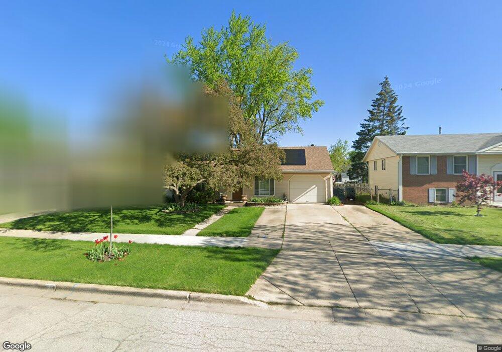
901 Upper Brandon Dr Unit 1 Aurora, IL 60506
North River NeighborhoodEstimated Value: $276,000 - $290,000
3
Beds
1
Bath
1,325
Sq Ft
$214/Sq Ft
Est. Value
About This Home
This home is located at 901 Upper Brandon Dr Unit 1, Aurora, IL 60506 and is currently estimated at $283,111, approximately $213 per square foot. 901 Upper Brandon Dr Unit 1 is a home located in Kane County with nearby schools including Smith Elementary School, Jewel Middle School, and West Aurora High School.
Ownership History
Date
Name
Owned For
Owner Type
Purchase Details
Closed on
Feb 18, 2001
Sold by
Echeverria Jorge S
Bought by
Echeverria Jorge S
Current Estimated Value
Home Financials for this Owner
Home Financials are based on the most recent Mortgage that was taken out on this home.
Original Mortgage
$93,000
Interest Rate
7.03%
Purchase Details
Closed on
Sep 29, 1997
Sold by
Wilson Gregory P and Wilson Rebecca L
Bought by
Echeverria Jorge S
Home Financials for this Owner
Home Financials are based on the most recent Mortgage that was taken out on this home.
Original Mortgage
$91,820
Interest Rate
7.54%
Mortgage Type
FHA
Create a Home Valuation Report for This Property
The Home Valuation Report is an in-depth analysis detailing your home's value as well as a comparison with similar homes in the area
Home Values in the Area
Average Home Value in this Area
Purchase History
| Date | Buyer | Sale Price | Title Company |
|---|---|---|---|
| Echeverria Jorge S | -- | Chicago Title Insurance Co | |
| Echeverria Jorge S | $61,333 | -- |
Source: Public Records
Mortgage History
| Date | Status | Borrower | Loan Amount |
|---|---|---|---|
| Closed | Echeverria Jorge S | $93,000 | |
| Closed | Echeverria Jorge S | $91,820 |
Source: Public Records
Tax History Compared to Growth
Tax History
| Year | Tax Paid | Tax Assessment Tax Assessment Total Assessment is a certain percentage of the fair market value that is determined by local assessors to be the total taxable value of land and additions on the property. | Land | Improvement |
|---|---|---|---|---|
| 2024 | $5,804 | $73,297 | $15,912 | $57,385 |
| 2023 | $5,609 | $65,490 | $14,217 | $51,273 |
| 2022 | $5,289 | $59,754 | $12,972 | $46,782 |
| 2021 | $5,083 | $55,632 | $12,077 | $43,555 |
| 2020 | $5,363 | $57,284 | $11,218 | $46,066 |
| 2019 | $5,127 | $52,433 | $10,394 | $42,039 |
| 2018 | $4,849 | $48,570 | $9,614 | $38,956 |
| 2017 | $4,503 | $43,752 | $8,858 | $34,894 |
| 2016 | $4,379 | $41,217 | $7,593 | $33,624 |
| 2015 | -- | $35,821 | $6,529 | $29,292 |
| 2014 | -- | $34,451 | $6,279 | $28,172 |
| 2013 | -- | $34,989 | $6,190 | $28,799 |
Source: Public Records
Map
Nearby Homes
- 910 Southbridge Dr
- 1532 Golden Oaks Pkwy
- 461 Sullivan Rd
- 795 N Elmwood Dr
- 781 N Elmwood Dr
- 1104 New Haven Ave
- 1351 Monomoy St Unit D
- 1035 Newcastle Ln
- 1389 Monomoy St Unit B2
- 833 N Randall Rd Unit C4
- 972 Westgate Dr
- 616 Morton Ave
- 376 Florida Ave
- 1045 Palace St
- 3 Lovedale Ln
- 602 N May St
- 967 Sapphire Ln
- 959 Sapphire Ln
- 963 Sapphire Ln
- 526 N View St
- 911 Upper Brandon Dr
- 891 Upper Brandon Dr
- 1371 Eastwood Dr
- 921 Upper Brandon Dr
- 1373 Eastwood Dr
- 1369 Eastwood Dr
- 1367 Eastwood Dr
- 896 Upper Brandon Dr
- 871 Upper Brandon Dr Unit 1
- 1377 Eastwood Dr
- 1350 Post Rd
- 1365 Eastwood Dr
- 880 Upper Brandon Dr
- 1341 Post Rd
- 1379 Eastwood Dr
- 941 Upper Brandon Dr Unit 2
- 934 Upper Brandon Dr Unit 2
- 1363 Eastwood Dr
- 861 Upper Brandon Dr Unit 1
- 1372 Eastwood Dr