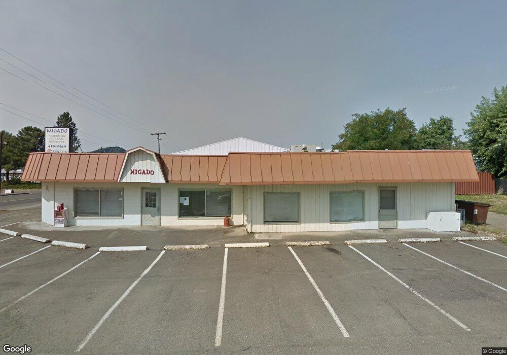
901 W Central Ave Unit 1 Sutherlin, OR 97479
Estimated Value: $259,341
--
Bed
--
Bath
1,532
Sq Ft
$169/Sq Ft
Est. Value
About This Home
This home is located at 901 W Central Ave Unit 1, Sutherlin, OR 97479 and is currently estimated at $259,341, approximately $169 per square foot. 901 W Central Ave Unit 1 is a home located in Douglas County with nearby schools including East Sutherlin Primary School, West Sutherlin Intermediate School, and Sutherlin Middle School.
Ownership History
Date
Name
Owned For
Owner Type
Purchase Details
Closed on
Feb 18, 2025
Sold by
Park Nam S and Park Yoon S
Bought by
Gigear Milton Durrelle
Current Estimated Value
Purchase Details
Closed on
May 3, 2004
Sold by
Moore William E and Moore Barbara E
Bought by
Gee Jack A and Gee Shirley R
Purchase Details
Closed on
Feb 25, 2004
Sold by
Garmon Linda Katherine and Okorn Linda Katherine
Bought by
Okorn Jaka Miha
Create a Home Valuation Report for This Property
The Home Valuation Report is an in-depth analysis detailing your home's value as well as a comparison with similar homes in the area
Home Values in the Area
Average Home Value in this Area
Purchase History
| Date | Buyer | Sale Price | Title Company |
|---|---|---|---|
| Gigear Milton Durrelle | $250,000 | Amerititle | |
| Gee Jack A | $139,000 | Ticor Title | |
| Okorn Jaka Miha | -- | -- |
Source: Public Records
Mortgage History
| Date | Status | Borrower | Loan Amount |
|---|---|---|---|
| Closed | Gee Jack A | $0 |
Source: Public Records
Tax History Compared to Growth
Tax History
| Year | Tax Paid | Tax Assessment Tax Assessment Total Assessment is a certain percentage of the fair market value that is determined by local assessors to be the total taxable value of land and additions on the property. | Land | Improvement |
|---|---|---|---|---|
| 2025 | $2,598 | $209,835 | -- | -- |
| 2024 | $2,540 | $203,724 | -- | -- |
| 2023 | $2,468 | $197,791 | $0 | $0 |
| 2022 | $2,397 | $192,031 | $0 | $0 |
| 2021 | $2,328 | $186,438 | $0 | $0 |
| 2020 | $2,248 | $181,008 | $0 | $0 |
| 2019 | $2,248 | $181,008 | $0 | $0 |
| 2018 | $2,248 | $0 | $0 | $0 |
| 2017 | $2,249 | $171,958 | $0 | $0 |
| 2016 | $2,368 | $181,008 | $0 | $0 |
| 2015 | $2,375 | $181,008 | $0 | $0 |
| 2014 | $2,369 | $180,367 | $0 | $0 |
| 2013 | -- | $175,114 | $0 | $0 |
Source: Public Records
Map
Nearby Homes
- 226 Miller St
- 220 Miller St
- 165 Robinson St
- 142 S Comstock Ave
- 401 N Comstock Ave
- 575 Cedar St
- 0 N Fourth St Unit 24557651
- 181 SW Hutchins St
- 324 Dakota St
- 1660 Scardi Blvd
- 1688 W Central Ave
- 409 S State St
- 427 S State St
- 328 S State St
- 444 S State St
- 201 Heavenly Ct
- 1716 Scardi Blvd Unit 174
- 788 Schoon Mountain Rd
- 281 Heavenly Ct
- 1907 W Duke Rd
- 901 W Central Ave
- 907 W Central Ave Unit 1
- 157 Branton St
- 875 W Central Ave Unit 1
- 875 W Central Ave
- 158 Branton St
- 948 W Central Ave
- 865 W Central Ave
- 919 W Central Ave
- 868 W First Ave Unit A
- 211 Branton St
- 910 W Central Ave Unit 1
- 910 W Central Ave
- 941 W First Ave
- 891 W 1st Ave
- 233 Branton St
- 1000 W Central Ave
- 232 Branton St
- 131 Miller St
- 131 S Miller