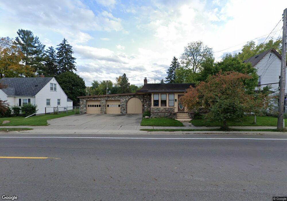
901 W Mount Hope Ave Lansing, MI 48910
Greencroft Park NeighborhoodEstimated Value: $171,000 - $194,481
--
Bed
--
Bath
1,530
Sq Ft
$120/Sq Ft
Est. Value
About This Home
This home is located at 901 W Mount Hope Ave, Lansing, MI 48910 and is currently estimated at $183,120, approximately $119 per square foot. 901 W Mount Hope Ave is a home located in Ingham County with nearby schools including Averill Elementary School, Attwood School, and J.W. Sexton High School.
Ownership History
Date
Name
Owned For
Owner Type
Purchase Details
Closed on
May 16, 2006
Sold by
Ellis Thomas M and Woodworth Ellis Renee
Bought by
Escobedo Ernesto
Current Estimated Value
Home Financials for this Owner
Home Financials are based on the most recent Mortgage that was taken out on this home.
Original Mortgage
$112,000
Outstanding Balance
$68,503
Interest Rate
7.4%
Mortgage Type
Purchase Money Mortgage
Estimated Equity
$114,617
Purchase Details
Closed on
Jan 30, 2003
Sold by
Ellis Thomas M and Woodworth Ellis Renee
Bought by
Ellis Thomas M and Woodworth Ellis Renee
Create a Home Valuation Report for This Property
The Home Valuation Report is an in-depth analysis detailing your home's value as well as a comparison with similar homes in the area
Home Values in the Area
Average Home Value in this Area
Purchase History
| Date | Buyer | Sale Price | Title Company |
|---|---|---|---|
| Escobedo Ernesto | $140,000 | Bell Title Company | |
| Ellis Thomas M | -- | -- |
Source: Public Records
Mortgage History
| Date | Status | Borrower | Loan Amount |
|---|---|---|---|
| Open | Escobedo Ernesto | $112,000 |
Source: Public Records
Tax History Compared to Growth
Tax History
| Year | Tax Paid | Tax Assessment Tax Assessment Total Assessment is a certain percentage of the fair market value that is determined by local assessors to be the total taxable value of land and additions on the property. | Land | Improvement |
|---|---|---|---|---|
| 2025 | $4,060 | $98,300 | $12,100 | $86,200 |
| 2024 | $33 | $90,500 | $12,100 | $78,400 |
| 2023 | $3,805 | $79,400 | $12,100 | $67,300 |
| 2022 | $3,427 | $74,600 | $15,400 | $59,200 |
| 2021 | $3,356 | $68,300 | $11,700 | $56,600 |
| 2020 | $3,336 | $60,200 | $11,700 | $48,500 |
| 2019 | $3,199 | $56,200 | $11,700 | $44,500 |
| 2018 | $2,996 | $53,700 | $11,700 | $42,000 |
| 2017 | $2,869 | $53,700 | $11,700 | $42,000 |
| 2016 | $2,743 | $52,800 | $11,700 | $41,100 |
| 2015 | $2,743 | $50,600 | $23,346 | $27,254 |
| 2014 | $2,743 | $49,200 | $23,346 | $25,854 |
Source: Public Records
Map
Nearby Homes
- 1913 Stirling Ave
- 907 Lenore Ave
- 712 Lenore Ave
- 2112 Stirling Ave
- 2001 S Martin Luther King Junior Blvd
- 2011 S Martin Luther King jr Blvd
- 1836 Osband Ave
- 917 W Barnes Ave
- 1114 Goodrich St
- 2011 Osband Ave
- 2310 Stirling Ave
- 2313 S Rundle Ave
- 1116 George St
- 1010 W Barnes Ave
- 815 Woodbine Ave
- 511 W Mount Hope Ave
- 1723 Osband Ave
- 2421 Stirling Ave
- 1032 Kelsey Ave
- 1312 W Mount Hope Ave
- 907 W Mount Hope Ave
- 909 W Mount Hope Ave
- 815 W Mount Hope Ave
- 815 W Mt Hope Ave
- 900 Lenore Ave
- 820 Lenore Ave
- 818 Lenore Ave
- 915 W Mount Hope Ave
- 811 W Mount Hope Ave
- 908 Lenore Ave
- 814 Lenore Ave
- 900 W Mount Hope Ave
- 912 Lenore Ave
- 805 W Mount Hope Ave
- 902 W Mount Hope Ave
- 812 W Mt Hope
- 812 W Mount Hope Ave