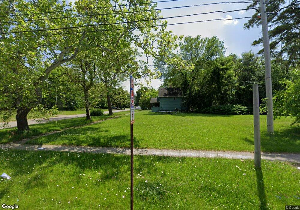
901 W Pierson Rd Flint, MI 48505
Bel-Aire Woods NeighborhoodEstimated Value: $104,000
4
Beds
1
Bath
1,064
Sq Ft
$98/Sq Ft
Est. Value
About This Home
This home is located at 901 W Pierson Rd, Flint, MI 48505 and is currently estimated at $104,000, approximately $97 per square foot. 901 W Pierson Rd is a home located in Genesee County with nearby schools including Brownell STEM Academy, The New Standard Academy, and Eagle's Nest Academy.
Ownership History
Date
Name
Owned For
Owner Type
Purchase Details
Closed on
Dec 22, 2014
Sold by
Genesee County Treasurer
Bought by
Genesee County Land Bank
Current Estimated Value
Purchase Details
Closed on
Dec 14, 2007
Sold by
Fannie Mae
Bought by
First Source National Homes Inc
Purchase Details
Closed on
Nov 22, 2006
Sold by
Jpmorgan Chase Bank Na
Bought by
Federal National Mortgage Association
Purchase Details
Closed on
Apr 19, 2000
Sold by
Sunday Joseph and Rasch Bernard
Bought by
Rasch Bernard and Rasch George B
Create a Home Valuation Report for This Property
The Home Valuation Report is an in-depth analysis detailing your home's value as well as a comparison with similar homes in the area
Home Values in the Area
Average Home Value in this Area
Purchase History
| Date | Buyer | Sale Price | Title Company |
|---|---|---|---|
| Genesee County Land Bank | -- | None Available | |
| First Source National Homes Inc | -- | Guaranty Title Company | |
| Federal National Mortgage Association | -- | None Available | |
| Jpmorgan Chase Bank Na | $25,835 | None Available | |
| Rasch Bernard | -- | -- |
Source: Public Records
Tax History
| Year | Tax Paid | Tax Assessment Tax Assessment Total Assessment is a certain percentage of the fair market value that is determined by local assessors to be the total taxable value of land and additions on the property. | Land | Improvement |
|---|---|---|---|---|
| 2025 | -- | $0 | $0 | $0 |
| 2024 | -- | $0 | $0 | $0 |
| 2023 | -- | $0 | $0 | $0 |
| 2022 | $0 | $0 | $0 | $0 |
| 2021 | $0 | $0 | $0 | $0 |
| 2020 | $0 | $0 | $0 | $0 |
| 2019 | $0 | $0 | $0 | $0 |
| 2018 | $0 | $0 | $0 | $0 |
| 2017 | $0 | $0 | $0 | $0 |
| 2016 | $0 | $0 | $0 | $0 |
| 2015 | -- | $0 | $0 | $0 |
| 2014 | -- | $0 | $0 | $0 |
| 2012 | -- | $2,300 | $0 | $0 |
Source: Public Records
Map
Nearby Homes
- 4816 Glenn Ave
- 4808 Edwards Ave
- 5416 Dupont St
- 5502 Susan St
- 5610 Baldwin Blvd
- 525 W Pulaski Ave
- 5709 Dupont St
- 510 W Bishop Ave
- 702/718 W Flint Park Blvd
- 5413 Fleming Rd
- 329 W Baltimore Blvd
- 4310 Berger Dr
- 1518 Randy Ct
- 4306 Berger Dr
- 412 W Gracelawn Ave
- 4539 Trumbull Dr
- 1720 Marlowe Dr
- 536 W Home Ave
- 5616 Griggs Dr
- 124 W Flint Park Blvd
- 5109 Baldwin Blvd
- 909 W Pierson Rd
- 817 W Pierson Rd
- 5105 Baldwin Blvd
- 913 W Pierson Rd
- 5101 Baldwin Blvd
- 5106 Glenn Ave
- 809 W Pierson Rd
- 5102 Baldwin Blvd
- 820 W Pierson Rd
- 902 W Pierson Rd
- 5106 Baldwin Blvd
- 816 W Pierson Rd
- 805 W Pierson Rd
- 906 W Pierson Rd
- 5020 Glenn Ave
- 812 W Pierson Rd
- 914 W Pierson Rd
- 910 W Pierson Rd
- 5015 Baldwin Blvd
Your Personal Tour Guide
Ask me questions while you tour the home.