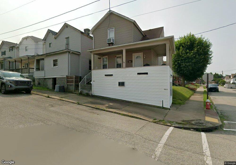
901 Walnut St New Kensington, PA 15068
Estimated Value: $53,000 - $92,000
--
Bed
--
Bath
--
Sq Ft
2,396
Sq Ft Lot
About This Home
This home is located at 901 Walnut St, New Kensington, PA 15068 and is currently estimated at $75,096. 901 Walnut St is a home located in Westmoreland County with nearby schools including Mary Queen of Apostles School.
Ownership History
Date
Name
Owned For
Owner Type
Purchase Details
Closed on
Jan 4, 2012
Sold by
Brown Alfred C and Brown Marlene S
Bought by
Smouse John Charles
Current Estimated Value
Create a Home Valuation Report for This Property
The Home Valuation Report is an in-depth analysis detailing your home's value as well as a comparison with similar homes in the area
Home Values in the Area
Average Home Value in this Area
Purchase History
| Date | Buyer | Sale Price | Title Company |
|---|---|---|---|
| Smouse John Charles | $41,000 | None Listed On Document |
Source: Public Records
Tax History Compared to Growth
Tax History
| Year | Tax Paid | Tax Assessment Tax Assessment Total Assessment is a certain percentage of the fair market value that is determined by local assessors to be the total taxable value of land and additions on the property. | Land | Improvement |
|---|---|---|---|---|
| 2025 | $1,001 | $6,270 | $1,850 | $4,420 |
| 2024 | $992 | $6,270 | $1,850 | $4,420 |
| 2023 | $938 | $6,270 | $1,850 | $4,420 |
| 2022 | $910 | $6,270 | $1,850 | $4,420 |
| 2021 | $889 | $6,270 | $1,850 | $4,420 |
| 2020 | $870 | $6,270 | $1,850 | $4,420 |
| 2019 | $848 | $6,270 | $1,850 | $4,420 |
| 2018 | $836 | $6,270 | $1,850 | $4,420 |
| 2017 | $823 | $6,270 | $1,850 | $4,420 |
| 2016 | $823 | $6,270 | $1,850 | $4,420 |
| 2015 | $823 | $6,270 | $1,850 | $4,420 |
| 2014 | $791 | $6,270 | $1,850 | $4,420 |
Source: Public Records
Map
Nearby Homes
- 1134 Leishman Ave
- 318 Ridge Ave
- 1218 Woodmont Ave
- 486 McCargo St
- 327 Charles Ave
- 201 Locust St
- 1025 Kenneth Ave
- 1240 Victoria Ave
- 105 Locust St
- 254 Ridge Ave
- 1233 Kenneth Ave
- 533 Freeport Rd
- 1312 Woodmont Ave
- 225 Highland Ave
- 1308 Taylor Ave
- 168 Short St
- 159 Freeport Rd
- 1506 Victoria Ave
- 125 North St
- 1512 Kenneth Ave
- 905 Walnut St
- 907 Walnut St
- 1050 Victoria Ave
- 911 Walnut St
- 1044 Victoria Ave
- 900 Walnut St
- 1101 Victoria Ave
- 904 Walnut St
- 906 Walnut St
- 820 Walnut St
- 1042 Victoria Ave
- 910 Walnut St
- 1043 Victoria Ave
- 818 Walnut St
- 347 Ridge Ave
- 345 Ridge Ave
- 1041 Victoria Ave
- 814 Walnut St
- 1118 Victoria Ave
- 1109 Victoria Ave