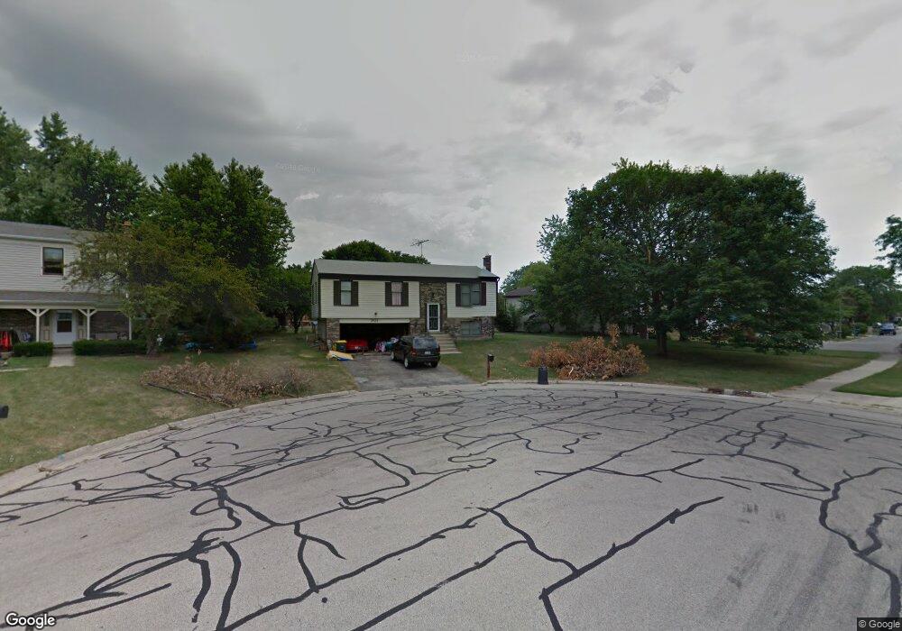
901 Wampum Ct Unit 5 Carol Stream, IL 60188
Estimated Value: $359,735 - $397,000
3
Beds
2
Baths
1,553
Sq Ft
$241/Sq Ft
Est. Value
About This Home
This home is located at 901 Wampum Ct Unit 5, Carol Stream, IL 60188 and is currently estimated at $373,934, approximately $240 per square foot. 901 Wampum Ct Unit 5 is a home located in DuPage County with nearby schools including Western Trails Elementary School, Jay Stream Middle School, and Glenbard North High School.
Ownership History
Date
Name
Owned For
Owner Type
Purchase Details
Closed on
Apr 26, 2011
Sold by
Federal National Mortgage Association
Bought by
Welman Scott
Current Estimated Value
Home Financials for this Owner
Home Financials are based on the most recent Mortgage that was taken out on this home.
Original Mortgage
$149,121
Outstanding Balance
$103,632
Interest Rate
4.88%
Mortgage Type
FHA
Estimated Equity
$270,302
Purchase Details
Closed on
Aug 20, 2010
Sold by
Brown Dana R
Bought by
Federal National Mortgage Association
Create a Home Valuation Report for This Property
The Home Valuation Report is an in-depth analysis detailing your home's value as well as a comparison with similar homes in the area
Home Values in the Area
Average Home Value in this Area
Purchase History
| Date | Buyer | Sale Price | Title Company |
|---|---|---|---|
| Welman Scott | $153,000 | Atg | |
| Federal National Mortgage Association | -- | None Available |
Source: Public Records
Mortgage History
| Date | Status | Borrower | Loan Amount |
|---|---|---|---|
| Open | Welman Scott | $149,121 |
Source: Public Records
Tax History
| Year | Tax Paid | Tax Assessment Tax Assessment Total Assessment is a certain percentage of the fair market value that is determined by local assessors to be the total taxable value of land and additions on the property. | Land | Improvement |
|---|---|---|---|---|
| 2024 | $7,818 | $99,125 | $32,903 | $66,222 |
| 2023 | $7,385 | $90,650 | $30,090 | $60,560 |
| 2022 | $7,754 | $90,050 | $29,890 | $60,160 |
| 2021 | $7,391 | $85,560 | $28,400 | $57,160 |
| 2020 | $7,268 | $83,480 | $27,710 | $55,770 |
| 2019 | $6,988 | $80,220 | $26,630 | $53,590 |
| 2018 | $6,465 | $75,590 | $25,930 | $49,660 |
| 2017 | $6,105 | $70,060 | $24,030 | $46,030 |
| 2016 | $5,773 | $64,840 | $22,240 | $42,600 |
| 2015 | $5,632 | $60,500 | $20,750 | $39,750 |
| 2014 | $5,595 | $59,160 | $20,290 | $38,870 |
| 2013 | $5,630 | $61,180 | $20,980 | $40,200 |
Source: Public Records
Map
Nearby Homes
- 862 Omaha Ct
- 992 Navajo St
- 813 Kansas St
- 577 Canterbury Dr Unit 18C
- 933 Columbia Ct
- 880 Hampton Dr
- 1122 Bradbury Cir
- 922 Dearborn Cir
- 340 Klein Creek Ct Unit c
- 161 W Elk Trail Unit 263
- 107 W Elk Trail Unit 106
- 1179 Edington Ct
- 142 Klein Creek Ct Unit B
- 124 Klein Creek Ct Unit D
- 788 N Gary Ave Unit 103
- 1103 Maubert Ct
- 171 Shaftesbury St
- 848 Birchbark Trail
- 545 Alton Ct Unit 273
- 514 Alton Ct Unit 2
Your Personal Tour Guide
Ask me questions while you tour the home.