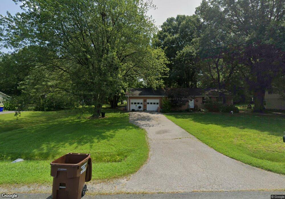
901 Worcester Dr Stevensville, MD 21666
Estimated Value: $420,000 - $538,000
Studio
2
Baths
1,804
Sq Ft
$267/Sq Ft
Est. Value
About This Home
This home is located at 901 Worcester Dr, Stevensville, MD 21666 and is currently estimated at $480,994, approximately $266 per square foot. 901 Worcester Dr is a home located in Queen Anne's County with nearby schools including Matapeake Elementary School, Matapeake Middle School, and Kent Island High School.
Ownership History
Date
Name
Owned For
Owner Type
Purchase Details
Closed on
Dec 12, 2013
Sold by
Simpson Brenda E
Bought by
Simpson Michael E
Current Estimated Value
Purchase Details
Closed on
Dec 31, 2001
Sold by
Bartlett Kent N
Bought by
Simpson Michael and Simpson Brenda
Purchase Details
Closed on
Jul 28, 1987
Sold by
Difatta Thomas J and Difatta Carol L
Bought by
Bartlett Kent N and Bartlett Judith A
Home Financials for this Owner
Home Financials are based on the most recent Mortgage that was taken out on this home.
Original Mortgage
$90,000
Interest Rate
10.23%
Create a Home Valuation Report for This Property
The Home Valuation Report is an in-depth analysis detailing your home's value as well as a comparison with similar homes in the area
Home Values in the Area
Average Home Value in this Area
Purchase History
| Date | Buyer | Sale Price | Title Company |
|---|---|---|---|
| Simpson Michael E | -- | Newlyn Title Assurance Co In | |
| Simpson Michael | $159,900 | -- | |
| Bartlett Kent N | $116,000 | -- |
Source: Public Records
Mortgage History
| Date | Status | Borrower | Loan Amount |
|---|---|---|---|
| Previous Owner | Bartlett Kent N | $90,000 |
Source: Public Records
Tax History
| Year | Tax Paid | Tax Assessment Tax Assessment Total Assessment is a certain percentage of the fair market value that is determined by local assessors to be the total taxable value of land and additions on the property. | Land | Improvement |
|---|---|---|---|---|
| 2025 | $3,312 | $351,600 | $0 | $0 |
| 2024 | $3,054 | $324,200 | $0 | $0 |
| 2023 | $2,796 | $296,800 | $161,600 | $135,200 |
| 2022 | $2,753 | $292,233 | $0 | $0 |
| 2021 | $2,759 | $287,667 | $0 | $0 |
| 2020 | $2,715 | $283,100 | $161,600 | $121,500 |
| 2019 | $2,595 | $270,600 | $0 | $0 |
| 2018 | $2,475 | $258,100 | $0 | $0 |
| 2017 | $2,356 | $245,600 | $0 | $0 |
| 2016 | -- | $238,233 | $0 | $0 |
| 2015 | $2,938 | $230,867 | $0 | $0 |
| 2014 | $2,938 | $223,500 | $0 | $0 |
Source: Public Records
Map
Nearby Homes
- 1000 Chesapeake Dr
- 410 Stafford Rd
- 415 Bay City Rd
- 526 Victoria Dr
- 802 Broadcreek Dr
- 103 Irene Way
- 306 Irene Way
- 440 Moorings Cir
- 614 Moorings Cir
- 222 Topside Dr
- 644 Moorings Cir
- 312 Topside Dr Unit 223
- 784 Moorings Cir
- 822 Moorings Cir Unit 17
- 222 Moorings Cir Unit 126
- 0 Sunset Wharf Lot D-3 Unit MDQA2010280
- 108 John Patrick Dr
- 128 John Patrick Dr
- 119 Keenan Way
- 0 Sunset Wharf Lot D-1 Unit MDQA2010276
- 903 Worcester Dr
- 0 Worcester Dr
- 905 Worcester Dr
- 815 Worcester Dr
- 900 Buckingham Dr
- 902 Buckingham Dr
- 907 Worcester Dr
- 902 Worcester Dr
- 814 Buckingham Dr
- 904 Buckingham Dr
- 813 Worcester Dr
- 904 Worcester Dr
- 814 Worcester Dr
- 906 Worcester Dr
- 909 Worcester Dr
- 906 Buckingham Dr
- 811 Worcester Dr
- 908 Worcester Dr
- 812 Buckingham Dr
- 812 Worcester Dr
Your Personal Tour Guide
Ask me questions while you tour the home.