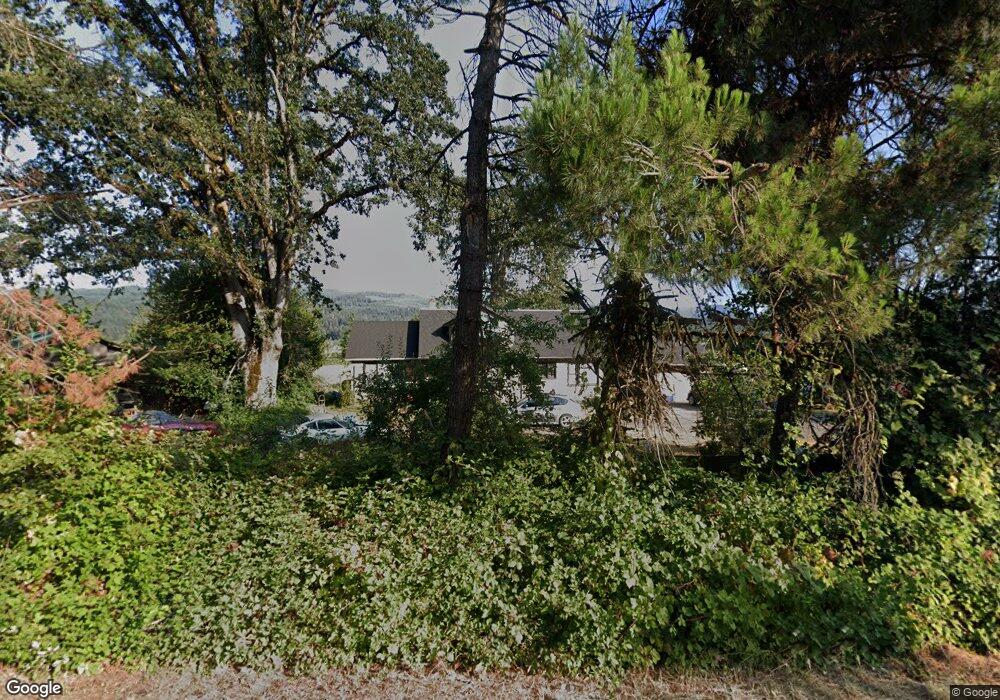
90102 Marcola Rd Springfield, OR 97478
Springfield AreaEstimated Value: $555,000 - $815,000
About This Home
This home is located at 90102 Marcola Rd, Springfield, OR 97478 and is currently estimated at $667,175, approximately $318 per square foot. 90102 Marcola Rd is a home located in Lane County with nearby schools including Yolanda Elementary School, Briggs Middle School, and Thurston High School.
Ownership History
We collect this data history from publicly available records. To have your information removed, we recommend requesting removal directly through your county’s website.
Purchase Details
Home Financials for this Owner
Home Financials are based on the most recent Mortgage that was taken out on this home.Purchase Details
Home Financials for this Owner
Home Financials are based on the most recent Mortgage that was taken out on this home.Purchase Details
Purchase Details
Home Financials for this Owner
Home Financials are based on the most recent Mortgage that was taken out on this home.Purchase Details
Purchase History
We collect this data history from publicly available records. To have your information removed, we recommend requesting removal directly through your county’s website.
| Date | Buyer | Sale Price | Title Company |
|---|---|---|---|
| $240,011 | Western Pioneer Title Co | ||
| -- | Western Pioneer Title Co | ||
| $165,625 | Western Pioneer Title Co | ||
| $159,000 | Evergreen Land Title Co | ||
| $146,385 | Evergreen Land Title Co |
Mortgage History
We collect this data history from publicly available records. To have your information removed, we recommend requesting removal directly through your county’s website.
| Date | Status | Borrower | Loan Amount |
|---|---|---|---|
| Open | $75,000 | ||
| Previous Owner | $192,000 | ||
| Previous Owner | $143,100 |
Tax History
We collect this data history from publicly available records. To have your information removed, we recommend requesting removal directly through your county’s website.
| Year | Tax Paid | Tax Assessment Tax Assessment Total Assessment is a certain percentage of the fair market value that is determined by local assessors to be the total taxable value of land and additions on the property. | Land | Improvement |
|---|---|---|---|---|
| 2025 | $3,542 | $315,762 | ||
| 2024 | $3,443 | $306,566 | ||
| 2023 | $3,443 | $297,637 | ||
| 2022 | $3,214 | $288,968 | $0 | $0 |
| 2021 | $3,139 | $280,552 | $0 | $0 |
| 2020 | $3,044 | $272,381 | $0 | $0 |
| 2019 | $2,932 | $264,448 | $0 | $0 |
| 2018 | $2,833 | $249,268 | $0 | $0 |
| 2017 | $2,628 | $249,268 | $0 | $0 |
| 2016 | $2,558 | $242,008 | $0 | $0 |
| 2015 | $2,491 | $234,959 | $0 | $0 |
| 2014 | $2,413 | $228,116 | $0 | $0 |
Map
- 90402 Marcola Rd
- 90375 Hill Rd
- 0 Alder Branch Rd Unit 429162594
- 36926 Edgehill Rd
- 0 Hill Rd Unit 124222323
- 0 Hill Rd Unit 294826733
- 0 Hill Rd
- 90790 Hill Rd
- 37186 Tree Farm Rd
- 90966 Hill Rd
- 0 McGowan Creek Rd Unit 277404196
- 89093 Marcola Rd
- 91375 Marcola Rd
- 37082 Goats Rd
- 0 Oakshire Dr Unit 11
- 0 Oakshire Dr Unit 11 581983361
- 88796 Oakshire Dr
- 35662 High Ranch Dr
- 0 Marcola Rd
- 37640 Upper Camp Creek Rd
- 90114 Marcola Rd
- 90072 Marcola Rd
- 90137 Marcola Rd
- 90137 Marcola Rd
- 36425 Alder Branch Rd
- 90149 Marcola Rd
- 36471 Alder Branch Rd
- 36524 Alder Branch Rd
- 36473 Alder Branch Rd
- 90203 Sunderman Rd
- 36579 Alder Branch Rd
- 90029 Marcola Rd
- 36575 Alder Branch Rd
- 36556 Alder Branch Rd
- 90001 Marcola Rd
- 36589 Alder Branch Rd
- 36596 Alder Branch Rd
- 36591 Alder Branch Rd
- 90324 Marcola Rd
- 36597 Alder Branch Rd
Ask me questions while you tour the home.