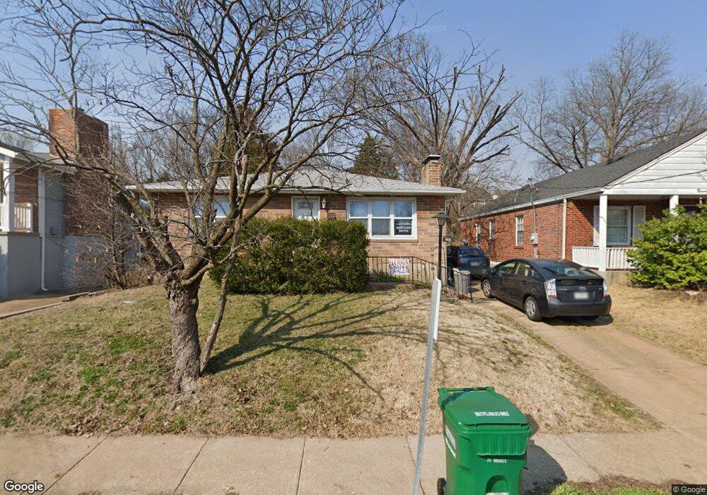
9011 Bridgeport Ave Saint Louis, MO 63144
Estimated Value: $255,673 - $314,000
2
Beds
1
Bath
952
Sq Ft
$298/Sq Ft
Est. Value
About This Home
This home is located at 9011 Bridgeport Ave, Saint Louis, MO 63144 and is currently estimated at $283,668, approximately $297 per square foot. 9011 Bridgeport Ave is a home located in St. Louis County with nearby schools including Brentwood High School, St Mary Magdalen School, and The Waldorf School of St. Louis.
Ownership History
Date
Name
Owned For
Owner Type
Purchase Details
Closed on
Dec 10, 2003
Sold by
Kleisly Marjorie M
Bought by
Gonzalez Rubio Edgar A
Current Estimated Value
Home Financials for this Owner
Home Financials are based on the most recent Mortgage that was taken out on this home.
Original Mortgage
$97,000
Outstanding Balance
$45,230
Interest Rate
5.97%
Mortgage Type
Purchase Money Mortgage
Estimated Equity
$238,438
Create a Home Valuation Report for This Property
The Home Valuation Report is an in-depth analysis detailing your home's value as well as a comparison with similar homes in the area
Home Values in the Area
Average Home Value in this Area
Purchase History
| Date | Buyer | Sale Price | Title Company |
|---|---|---|---|
| Gonzalez Rubio Edgar A | $100,000 | -- |
Source: Public Records
Mortgage History
| Date | Status | Borrower | Loan Amount |
|---|---|---|---|
| Open | Gonzalez Rubio Edgar A | $97,000 |
Source: Public Records
Tax History Compared to Growth
Tax History
| Year | Tax Paid | Tax Assessment Tax Assessment Total Assessment is a certain percentage of the fair market value that is determined by local assessors to be the total taxable value of land and additions on the property. | Land | Improvement |
|---|---|---|---|---|
| 2025 | $3,057 | $44,570 | $31,920 | $12,650 |
| 2024 | $3,057 | $44,020 | $30,890 | $13,130 |
| 2023 | $2,974 | $44,020 | $30,890 | $13,130 |
| 2022 | $2,719 | $37,790 | $27,800 | $9,990 |
| 2021 | $2,698 | $37,790 | $27,800 | $9,990 |
| 2020 | $2,547 | $35,300 | $24,680 | $10,620 |
| 2019 | $2,499 | $35,300 | $24,680 | $10,620 |
| 2018 | $2,408 | $30,840 | $18,530 | $12,310 |
| 2017 | $2,350 | $30,840 | $18,530 | $12,310 |
| 2016 | $2,216 | $27,570 | $13,550 | $14,020 |
| 2015 | $2,201 | $27,570 | $13,550 | $14,020 |
| 2014 | $2,155 | $26,890 | $10,070 | $16,820 |
Source: Public Records
Map
Nearby Homes
- 9008 Bridgeport Ave
- 2312 High School Dr
- 9021 Pine Ave
- 9130 Pine Ave
- 2307 Patton Ave
- 8835 Lawn Ave
- 2020 S Brentwood Blvd
- 2023 Urban Dr
- 9044 W Swan Cir Unit 9044
- 2438 Annalee Ave
- 1626 High School Dr
- 1923 Parkridge Ave
- 9053 W Swan Cir
- 1773 High School Dr
- 1767 High School Dr
- 1737 Canary Cove Unit 1737
- 9067 Wrenwood Ln Unit 9067
- 8724 Bridgeport Ave
- 2521 High School Dr
- 1631 E Swan Cir Unit 1631
- 9007 Bridgeport Ave
- 9015 Bridgeport Ave
- 9003 Bridgeport Ave
- 9019 Bridgeport Ave
- 9019 Bridgeport Ave Unit A
- 8937 Bridgeport Ave
- 9012 Moritz Ave
- 9008 Moritz Ave
- 9016 Moritz Ave
- 9004 Moritz Ave
- 9020 Moritz Ave
- 9012 Bridgeport Ave
- 9004 Bridgeport Ave
- 8933 Bridgeport Ave
- 9016 Bridgeport Ave
- 9000 Moritz Ave
- 9000 Bridgeport Ave
- 8934 Bridgeport Ave
- 8932 Moritz Ave
- 9100 Moritz Ave