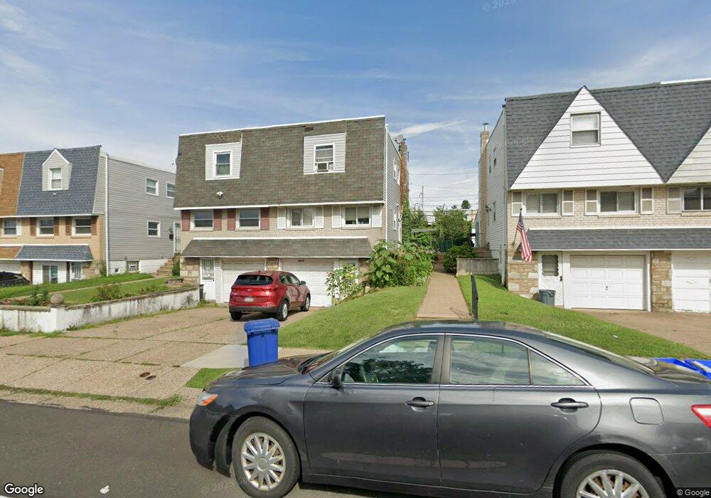
9012 Ashton Rd Philadelphia, PA 19136
Pennypack NeighborhoodEstimated Value: $296,000 - $312,000
--
Bed
--
Bath
1,152
Sq Ft
$264/Sq Ft
Est. Value
About This Home
This home is located at 9012 Ashton Rd, Philadelphia, PA 19136 and is currently estimated at $304,701, approximately $264 per square foot. 9012 Ashton Rd is a home with nearby schools including Lincoln High School, Robert B. Pollock School, and Meehan Austin Middle School.
Ownership History
Date
Name
Owned For
Owner Type
Purchase Details
Closed on
Sep 16, 2005
Sold by
Ibrahim Ahmed K
Bought by
Thazhathapoickattil Aleyas P and Aleyas Sally
Current Estimated Value
Home Financials for this Owner
Home Financials are based on the most recent Mortgage that was taken out on this home.
Original Mortgage
$153,600
Outstanding Balance
$84,994
Interest Rate
6.5%
Mortgage Type
Fannie Mae Freddie Mac
Estimated Equity
$219,707
Purchase Details
Closed on
Jun 21, 2002
Sold by
Furtak Colleen
Bought by
Ibrahim Ahmed K
Purchase Details
Closed on
Apr 11, 2000
Sold by
Mcnally Carole G
Bought by
Furtak Colleen
Create a Home Valuation Report for This Property
The Home Valuation Report is an in-depth analysis detailing your home's value as well as a comparison with similar homes in the area
Home Values in the Area
Average Home Value in this Area
Purchase History
| Date | Buyer | Sale Price | Title Company |
|---|---|---|---|
| Thazhathapoickattil Aleyas P | $192,000 | None Available | |
| Ibrahim Ahmed K | $103,500 | -- | |
| Furtak Colleen | -- | -- |
Source: Public Records
Mortgage History
| Date | Status | Borrower | Loan Amount |
|---|---|---|---|
| Open | Thazhathapoickattil Aleyas P | $153,600 |
Source: Public Records
Tax History Compared to Growth
Tax History
| Year | Tax Paid | Tax Assessment Tax Assessment Total Assessment is a certain percentage of the fair market value that is determined by local assessors to be the total taxable value of land and additions on the property. | Land | Improvement |
|---|---|---|---|---|
| 2026 | $3,250 | $286,300 | $57,260 | $229,040 |
| 2025 | $3,250 | $286,300 | $57,260 | $229,040 |
| 2024 | $3,250 | $286,300 | $57,260 | $229,040 |
| 2023 | $3,250 | $232,200 | $46,440 | $185,760 |
| 2022 | $1,953 | $187,200 | $46,440 | $140,760 |
| 2021 | $2,583 | $0 | $0 | $0 |
| 2020 | $2,583 | $0 | $0 | $0 |
| 2019 | $2,431 | $0 | $0 | $0 |
| 2018 | $1,936 | $0 | $0 | $0 |
| 2017 | $2,356 | $0 | $0 | $0 |
| 2016 | $1,936 | $0 | $0 | $0 |
| 2015 | $1,853 | $0 | $0 | $0 |
| 2014 | -- | $168,300 | $65,618 | $102,682 |
| 2012 | -- | $19,840 | $2,019 | $17,821 |
Source: Public Records
Map
Nearby Homes
- 2738 Maxwell St
- 2831 Sebring Rd
- 2831 Chase Rd
- 9029 Eastview Rd
- 2817 Walnut Hill St Unit A
- 2959 Tremont St
- 2777 Welsh Rd
- 2633 Maxwell St
- 2876 Walnut Hill St
- 8860 Manchester St
- 8803 Manchester St
- 4R & 6 Old Ashton Rd
- 2713 Clayton St
- 8817 R Danbury St
- 2740 Mower St
- 2738 Axe Factory Rd
- 8941 Dewees St
- 8800 Danbury St
- 9044 Brous Ave
- 8822 Dewees St
- 9010 Ashton Rd
- 9008 Ashton Rd
- 9016 Ashton Rd
- 9014 Ashton Rd
- 9018 Ashton Rd
- 9006 Ashton Rd
- 9020 Ashton Rd
- 2749 Maxwell St
- 9022 Ashton Rd
- 2751 Maxwell St
- 2763 Maxwell St
- 2761 Maxwell St
- 2755 Maxwell St
- 2765 Maxwell St
- 2747 Maxwell St
- 2745 Maxwell St
- 2753 Maxwell St
- 9024 Ashton Rd
- 2759 Maxwell St
- 2743 Maxwell St