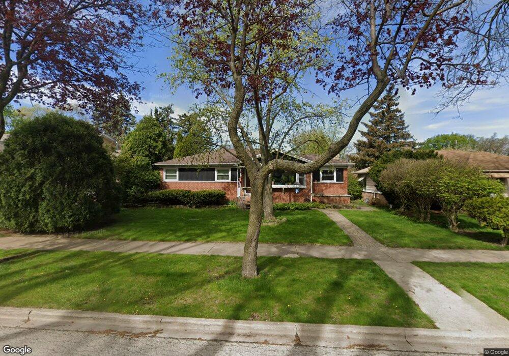
9012 Linder Ave Morton Grove, IL 60053
Estimated Value: $413,000 - $484,000
3
Beds
2
Baths
1,206
Sq Ft
$371/Sq Ft
Est. Value
About This Home
This home is located at 9012 Linder Ave, Morton Grove, IL 60053 and is currently estimated at $447,008, approximately $370 per square foot. 9012 Linder Ave is a home located in Cook County with nearby schools including Park View Elementary School, Niles West High School, and Arie Crown Hebrew Day School.
Ownership History
Date
Name
Owned For
Owner Type
Purchase Details
Closed on
Jun 25, 2002
Sold by
Field Donald W
Bought by
Appleton Jonathan E
Current Estimated Value
Home Financials for this Owner
Home Financials are based on the most recent Mortgage that was taken out on this home.
Original Mortgage
$239,000
Interest Rate
6.91%
Purchase Details
Closed on
Feb 29, 1996
Sold by
Field Donald W
Bought by
Field Donald W and Donald W Field Trust
Create a Home Valuation Report for This Property
The Home Valuation Report is an in-depth analysis detailing your home's value as well as a comparison with similar homes in the area
Home Values in the Area
Average Home Value in this Area
Purchase History
| Date | Buyer | Sale Price | Title Company |
|---|---|---|---|
| Appleton Jonathan E | $299,000 | -- | |
| Appleton Jonathan E | -- | -- | |
| Field Donald W | -- | -- |
Source: Public Records
Mortgage History
| Date | Status | Borrower | Loan Amount |
|---|---|---|---|
| Previous Owner | Appleton Jonathan E | $239,000 |
Source: Public Records
Tax History
| Year | Tax Paid | Tax Assessment Tax Assessment Total Assessment is a certain percentage of the fair market value that is determined by local assessors to be the total taxable value of land and additions on the property. | Land | Improvement |
|---|---|---|---|---|
| 2025 | $4,475 | $20,407 | $5,813 | $14,594 |
| 2024 | $4,475 | $17,150 | $4,875 | $12,275 |
| 2023 | $4,249 | $17,150 | $4,875 | $12,275 |
| 2022 | $4,249 | $17,150 | $4,875 | $12,275 |
| 2021 | $3,613 | $12,928 | $3,000 | $9,928 |
| 2020 | $3,552 | $12,928 | $3,000 | $9,928 |
| 2019 | $3,587 | $14,526 | $3,000 | $11,526 |
| 2018 | $3,405 | $12,507 | $2,718 | $9,789 |
| 2017 | $3,439 | $12,507 | $2,718 | $9,789 |
| 2016 | $3,374 | $12,507 | $2,718 | $9,789 |
| 2015 | $2,880 | $10,249 | $2,343 | $7,906 |
| 2014 | $2,886 | $10,249 | $2,343 | $7,906 |
| 2013 | $2,810 | $10,249 | $2,343 | $7,906 |
Source: Public Records
Map
Nearby Homes
- 9032 Luna Ave
- 5644 Lyons St
- 8915 Laramie Ave
- 8646 Harms Rd
- 5309 Crain St
- 9213 Mason Ave
- 5817 Crain St
- 5910 Carol Ave
- 8541 Lotus Ave Unit 712
- 8846 Austin Ave
- 9539 Lorel Ave
- 4950 Greenwood St
- 5510 Lincoln Ave Unit B101
- 5510 Lincoln Ave Unit B205
- 5506 Lincoln Ave Unit A315
- 5506 Lincoln Ave Unit A517
- 5506 Lincoln Ave Unit A512
- 5506 Lincoln Ave Unit A114
- 5506 Lincoln Ave Unit A521
- 5032 Crain St
- 9012 Linder Ave
- 9014 Linder Ave
- 9004 Linder Ave
- 9004 Linder Ave
- 9020 Linder Ave
- 9022 Linder Ave
- 9015 Luna Ave
- 9000 Linder Ave
- 9000 Linder Ave
- 9009 Luna Ave
- 9024 Linder Ave
- 9019 Luna Ave
- 5455 Suffield Terrace
- 9005 Luna Ave
- 9001 Linder Ave
- 9023 Luna Ave
- 9001 Luna Ave
- 5449 Suffield Terrace
- 5452 Grove St