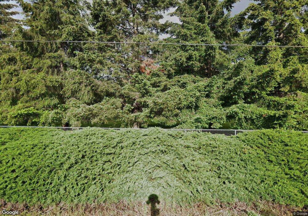
90134 Shore Ln Eugene, OR 97402
Estimated Value: $829,000 - $1,377,000
3
Beds
2
Baths
3,060
Sq Ft
$338/Sq Ft
Est. Value
About This Home
This home is located at 90134 Shore Ln, Eugene, OR 97402 and is currently estimated at $1,034,434, approximately $338 per square foot. 90134 Shore Ln is a home located in Lane County with nearby schools including Meadow View School and Willamette High School.
Ownership History
Date
Name
Owned For
Owner Type
Purchase Details
Closed on
Sep 12, 2025
Sold by
Johnson Marty R and Johnson Joanne E
Bought by
Marty And Joanne Johnson Joint Trust and Johnson
Current Estimated Value
Purchase Details
Closed on
Sep 3, 1999
Sold by
Linnanto Erkki A and Linnanto Betty C
Bought by
Johnson Marty R and Johnson Joanne E
Home Financials for this Owner
Home Financials are based on the most recent Mortgage that was taken out on this home.
Original Mortgage
$240,000
Interest Rate
7.66%
Create a Home Valuation Report for This Property
The Home Valuation Report is an in-depth analysis detailing your home's value as well as a comparison with similar homes in the area
Purchase History
| Date | Buyer | Sale Price | Title Company |
|---|---|---|---|
| Marty And Joanne Johnson Joint Trust | -- | None Listed On Document | |
| Johnson Marty R | $380,000 | Fidelity National Title Ins |
Source: Public Records
Mortgage History
| Date | Status | Borrower | Loan Amount |
|---|---|---|---|
| Previous Owner | Johnson Marty R | $240,000 |
Source: Public Records
Tax History
| Year | Tax Paid | Tax Assessment Tax Assessment Total Assessment is a certain percentage of the fair market value that is determined by local assessors to be the total taxable value of land and additions on the property. | Land | Improvement |
|---|---|---|---|---|
| 2025 | $5,541 | $477,535 | -- | -- |
| 2024 | $5,404 | $463,627 | -- | -- |
| 2023 | $5,404 | $450,124 | $0 | $0 |
| 2022 | $5,035 | $437,014 | $0 | $0 |
| 2021 | $4,783 | $424,286 | $0 | $0 |
| 2020 | $4,616 | $411,929 | $0 | $0 |
| 2019 | $4,336 | $399,932 | $0 | $0 |
| 2018 | $4,192 | $376,975 | $0 | $0 |
| 2017 | $4,037 | $376,975 | $0 | $0 |
| 2016 | $3,951 | $365,995 | $0 | $0 |
| 2015 | $3,919 | $355,335 | $0 | $0 |
| 2014 | $3,887 | $344,985 | $0 | $0 |
Source: Public Records
Map
Nearby Homes
- 0 Clear Lake Rd Unit 1300
- 27645 Snyder Rd Unit 36
- 90774 Alvadore Rd
- 27862 Green Oaks Dr
- 0 B St Unit 770716590
- 27366 4th St
- 29720 Jeans Rd Unit 24
- 27717 Royal Ave
- 0
- 0 Lakeshore Lot 2
- 0 Lakeshore Lot 1 Unit 119637472
- 0 Umanski Ln
- 0 Douglas Dr
- 25234 Tanglewood Way
- 25249 Tanglewood Way
- 25235 Tanglewood Way
- 25262 Tanglewood Way
- 25228 Tanglewood Way
- 0 Green Hill Rd
- 88952 Conrad Rd
- 0 Shore Ln Unit 1 24072706
- 0 Shore Ln Unit 2 24070651
- 0 Shore Ln Unit 2 18318672
- 0 Shore Ln
- 90084 Shore Ln
- 90150 Shore Ln
- 90171 Shore Ln
- 90050 Shore Ln
- 90176 Shore Ln
- 27334 Barker Rd
- 27335 Barker Rd
- 90175 Shore Ln
- 89962 Day Ln
- 27337 Barker Rd
- 90206 Shore Ln
- 27339 Barker Rd
- 90164 Shore Ln
- 89950 Day Ln
- 90237 Shore Ln
Your Personal Tour Guide
Ask me questions while you tour the home.
