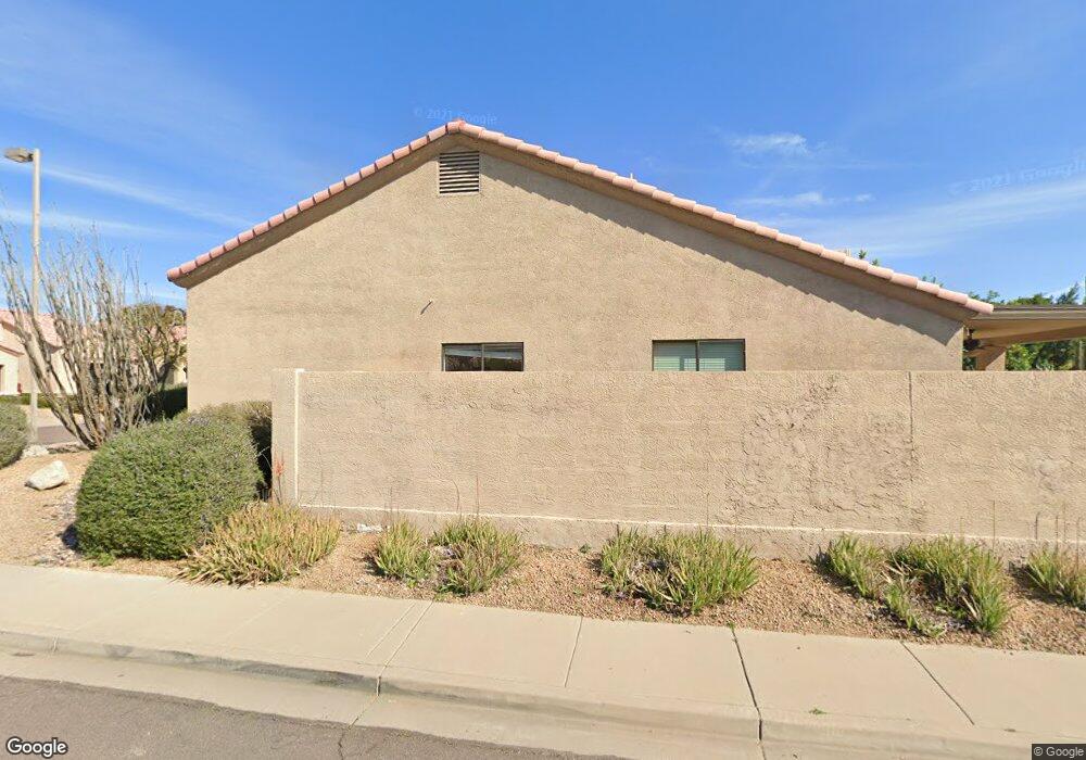
9017 E Karen Dr Scottsdale, AZ 85260
Horizons NeighborhoodEstimated Value: $664,581 - $808,000
--
Bed
3
Baths
1,817
Sq Ft
$419/Sq Ft
Est. Value
About This Home
This home is located at 9017 E Karen Dr, Scottsdale, AZ 85260 and is currently estimated at $762,145, approximately $419 per square foot. 9017 E Karen Dr is a home located in Maricopa County with nearby schools including Redfield Elementary School, Desert Canyon Middle School, and Desert Mountain High School.
Ownership History
Date
Name
Owned For
Owner Type
Purchase Details
Closed on
Apr 16, 2021
Sold by
Kirk Martin L and Kirk Jordan L
Bought by
Kirk Family Trust and Kirk
Current Estimated Value
Purchase Details
Closed on
Sep 13, 1999
Sold by
Kirk Martin L
Bought by
Kirk Martin L and Kirk Jordan L
Purchase Details
Closed on
Oct 4, 1998
Sold by
Gilliland Inc
Bought by
Kirk Martin L
Home Financials for this Owner
Home Financials are based on the most recent Mortgage that was taken out on this home.
Original Mortgage
$182,400
Interest Rate
6.61%
Mortgage Type
New Conventional
Purchase Details
Closed on
Jun 19, 1997
Sold by
Latecki Phyllis H
Bought by
Gilliland Inc
Home Financials for this Owner
Home Financials are based on the most recent Mortgage that was taken out on this home.
Original Mortgage
$467,050
Interest Rate
7.91%
Mortgage Type
New Conventional
Create a Home Valuation Report for This Property
The Home Valuation Report is an in-depth analysis detailing your home's value as well as a comparison with similar homes in the area
Home Values in the Area
Average Home Value in this Area
Purchase History
| Date | Buyer | Sale Price | Title Company |
|---|---|---|---|
| Kirk Family Trust | -- | None Listed On Document | |
| Kirk Martin L | -- | -- | |
| Kirk Martin L | $192,000 | North American Title Agency | |
| Gilliland Inc | $181,500 | Stewart Title & Trust |
Source: Public Records
Mortgage History
| Date | Status | Borrower | Loan Amount |
|---|---|---|---|
| Previous Owner | Kirk Martin L | $182,400 | |
| Previous Owner | Gilliland Inc | $467,050 |
Source: Public Records
Tax History Compared to Growth
Tax History
| Year | Tax Paid | Tax Assessment Tax Assessment Total Assessment is a certain percentage of the fair market value that is determined by local assessors to be the total taxable value of land and additions on the property. | Land | Improvement |
|---|---|---|---|---|
| 2025 | $2,510 | $41,989 | -- | -- |
| 2024 | $2,353 | $39,989 | -- | -- |
| 2023 | $2,353 | $52,720 | $10,540 | $42,180 |
| 2022 | $2,241 | $41,080 | $8,210 | $32,870 |
| 2021 | $2,430 | $37,260 | $7,450 | $29,810 |
| 2020 | $2,408 | $35,110 | $7,020 | $28,090 |
| 2019 | $2,340 | $33,670 | $6,730 | $26,940 |
| 2018 | $2,285 | $32,300 | $6,460 | $25,840 |
| 2017 | $2,156 | $32,120 | $6,420 | $25,700 |
| 2016 | $2,115 | $30,570 | $6,110 | $24,460 |
| 2015 | $2,032 | $29,260 | $5,850 | $23,410 |
Source: Public Records
Map
Nearby Homes
- 9080 E Karen Dr
- 15550 N Frank Lloyd Wright Blvd Unit 1040
- 9061 E Evans Dr
- 9332 E Raintree Dr Unit 140
- 15151 N Frank Lloyd Wright Blvd Unit 1088
- 9133 E Gelding Dr
- 14450 N Thompson Peak Pkwy Unit 110
- 14450 N Thompson Peak Pkwy Unit 212
- 14450 N Thompson Peak Pkwy Unit 134
- 14450 N Thompson Peak Pkwy Unit 103
- 8902 E Conieson Rd
- 16510 N 92nd St Unit 1043
- 16510 N 92nd St Unit 1006
- 16510 N 92nd St Unit 1003
- 15050 N Thompson Peak Pkwy Unit 1041
- 15050 N Thompson Peak Pkwy Unit 2033
- 15050 N Thompson Peak Pkwy Unit 1001
- 15050 N Thompson Peak Pkwy Unit 2003
- 15050 N Thompson Peak Pkwy Unit 1035
- 15050 N Thompson Peak Pkwy Unit 2053
- 9025 E Karen Dr
- 9026 E Janice Way
- 9009 E Karen Dr
- 9033 E Karen Dr
- 9038 E Janice Way Unit 4
- 9024 E Karen Dr
- 9014 E Janice Way
- 9016 E Karen Dr
- 9032 E Karen Dr
- 9008 E Karen Dr
- 9050 E Janice Way
- 9041 E Karen Dr
- 9001 E Karen Dr
- 9040 E Karen Dr
- 9002 E Janice Way
- 9049 E Karen Dr
- 9062 E Janice Way
- 15282 N 90th Place
- 9048 E Karen Dr
- 9025 E Janice Way