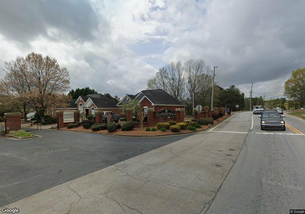
9017 High St Douglasville, GA 30135
Estimated Value: $322,177 - $387,000
3
Beds
2
Baths
1,541
Sq Ft
$231/Sq Ft
Est. Value
About This Home
This home is located at 9017 High St, Douglasville, GA 30135 and is currently estimated at $356,544, approximately $231 per square foot. 9017 High St is a home located in Douglas County with nearby schools including Arbor Station Elementary School, Chestnut Log Middle School, and New Manchester High School.
Ownership History
Date
Name
Owned For
Owner Type
Purchase Details
Closed on
Jan 15, 1999
Sold by
Calibre Developers Inc
Bought by
Coursey Donnie L and Coursey Linda
Current Estimated Value
Home Financials for this Owner
Home Financials are based on the most recent Mortgage that was taken out on this home.
Original Mortgage
$170,900
Outstanding Balance
$39,741
Interest Rate
6.79%
Mortgage Type
New Conventional
Estimated Equity
$316,803
Create a Home Valuation Report for This Property
The Home Valuation Report is an in-depth analysis detailing your home's value as well as a comparison with similar homes in the area
Home Values in the Area
Average Home Value in this Area
Purchase History
| Date | Buyer | Sale Price | Title Company |
|---|---|---|---|
| Coursey Donnie L | $179,900 | -- |
Source: Public Records
Mortgage History
| Date | Status | Borrower | Loan Amount |
|---|---|---|---|
| Open | Coursey Donnie L | $170,900 |
Source: Public Records
Tax History Compared to Growth
Tax History
| Year | Tax Paid | Tax Assessment Tax Assessment Total Assessment is a certain percentage of the fair market value that is determined by local assessors to be the total taxable value of land and additions on the property. | Land | Improvement |
|---|---|---|---|---|
| 2024 | $2,367 | $138,240 | $25,520 | $112,720 |
| 2023 | $2,367 | $138,240 | $25,520 | $112,720 |
| 2022 | $1,924 | $114,080 | $13,800 | $100,280 |
| 2021 | $1,722 | $87,680 | $12,960 | $74,720 |
| 2020 | $1,742 | $87,680 | $12,960 | $74,720 |
| 2019 | $1,526 | $85,600 | $12,960 | $72,640 |
| 2018 | $1,480 | $82,600 | $12,960 | $69,640 |
| 2017 | $1,350 | $74,320 | $12,960 | $61,360 |
| 2016 | $1,369 | $72,920 | $13,080 | $59,840 |
| 2015 | $1,615 | $81,200 | $15,160 | $66,040 |
| 2014 | $1,427 | $76,480 | $15,160 | $61,320 |
| 2013 | -- | $70,000 | $13,920 | $56,080 |
Source: Public Records
Map
Nearby Homes
- at Timber Ridge - 50'-60'
- Roswell Plan at Timber Ridge - 50'-60'
- Harrington Plan at Timber Ridge - 42'
- Atlanta Plan at Timber Ridge - 50'-60'
- Charles Plan at Timber Ridge - 42'
- Boston Plan at Timber Ridge - 42'
- Atlanta Plan at Timber Ridge - 42'
- Boston Plan at Timber Ridge - 50'-60'
- Columbus Plan at Timber Ridge - 42'
- at Timber Ridge - 50'-60'
- Sarah Plan at Timber Ridge - 42'
- Columbus Plan at Timber Ridge - 50'-60'
- Portland Plan at Timber Ridge - 50'-60'
- 2472 Cotton Ln
- at Timber Ridge - 50'-60'
- 9054 Bond St
- 5765 Wembley Dr
- 5767 Wembley Dr
- 4645 Timber Ridge Dr
- 2262 Linden Pass
- 9027 High St
- 9037 High St
- 4995 High Point Rd
- 9020 High St
- 9057 High St
- 0 High St Unit 23
- 9040 High St Unit 23
- 9040 High St
- 9028 Bond St
- 5241 Prestly
- 9067 High St
- 9039 Bond St
- 9034 Bond St
- 9060 High St
- 0 Bond St Unit 7422521
- 0 Bond St Unit 3253795
- 0 Bond St Unit 8661534
- 0 Bond St Unit 8551409
- 0 Bond St Unit 7563599
- 0 Bond St
