9019 127th Avenue Ct Unit AI Anderson Island, WA 98303
Estimated Value: $443,621 - $473,000
2
Beds
2
Baths
1,604
Sq Ft
$287/Sq Ft
Est. Value
About This Home
This home is located at 9019 127th Avenue Ct Unit AI, Anderson Island, WA 98303 and is currently estimated at $459,655, approximately $286 per square foot. 9019 127th Avenue Ct Unit AI is a home located in Pierce County with nearby schools including Anderson Island Elementary School, Pioneer Middle School, and Steilacoom High School.
Ownership History
Date
Name
Owned For
Owner Type
Purchase Details
Closed on
Jul 13, 2021
Sold by
Kaiser Gerald M
Bought by
Allen Raili L and Allen Scott L
Current Estimated Value
Home Financials for this Owner
Home Financials are based on the most recent Mortgage that was taken out on this home.
Original Mortgage
$250,000
Outstanding Balance
$226,940
Interest Rate
2.93%
Mortgage Type
New Conventional
Estimated Equity
$232,715
Purchase Details
Closed on
Apr 17, 2017
Sold by
Kotwica Theodore S
Bought by
Kaiser Gerald M
Home Financials for this Owner
Home Financials are based on the most recent Mortgage that was taken out on this home.
Original Mortgage
$161,976
Interest Rate
4.21%
Mortgage Type
VA
Purchase Details
Closed on
Sep 24, 2003
Sold by
Key Bank Na
Bought by
Kotwica Theodore S
Purchase Details
Closed on
Jan 13, 2003
Sold by
Rodocker Cletis G
Bought by
Key Bank Na
Create a Home Valuation Report for This Property
The Home Valuation Report is an in-depth analysis detailing your home's value as well as a comparison with similar homes in the area
Home Values in the Area
Average Home Value in this Area
Purchase History
| Date | Buyer | Sale Price | Title Company |
|---|---|---|---|
| Allen Raili L | $390,000 | Fidelity Natl Ttl Co Of Wa I | |
| Kaiser Gerald M | $204,719 | Fidelity National Title | |
| Kotwica Theodore S | $123,000 | First American Title Ins Co | |
| Key Bank Na | $110,654 | Trans |
Source: Public Records
Mortgage History
| Date | Status | Borrower | Loan Amount |
|---|---|---|---|
| Open | Allen Raili L | $250,000 | |
| Previous Owner | Kaiser Gerald M | $161,976 |
Source: Public Records
Tax History Compared to Growth
Tax History
| Year | Tax Paid | Tax Assessment Tax Assessment Total Assessment is a certain percentage of the fair market value that is determined by local assessors to be the total taxable value of land and additions on the property. | Land | Improvement |
|---|---|---|---|---|
| 2025 | $4,319 | $420,600 | $86,600 | $334,000 |
| 2024 | $4,319 | $405,200 | $94,600 | $310,600 |
| 2023 | $4,319 | $407,600 | $94,600 | $313,000 |
| 2022 | $3,554 | $386,200 | $89,500 | $296,700 |
| 2021 | $3,476 | $269,600 | $30,800 | $238,800 |
| 2019 | $3,344 | $249,500 | $25,500 | $224,000 |
| 2018 | $3,298 | $252,900 | $17,900 | $235,000 |
| 2017 | $2,845 | $221,000 | $13,600 | $207,400 |
| 2016 | $2,564 | $173,600 | $11,100 | $162,500 |
| 2014 | $2,416 | $171,400 | $12,900 | $158,500 |
| 2013 | $2,416 | $147,800 | $8,300 | $139,500 |
Source: Public Records
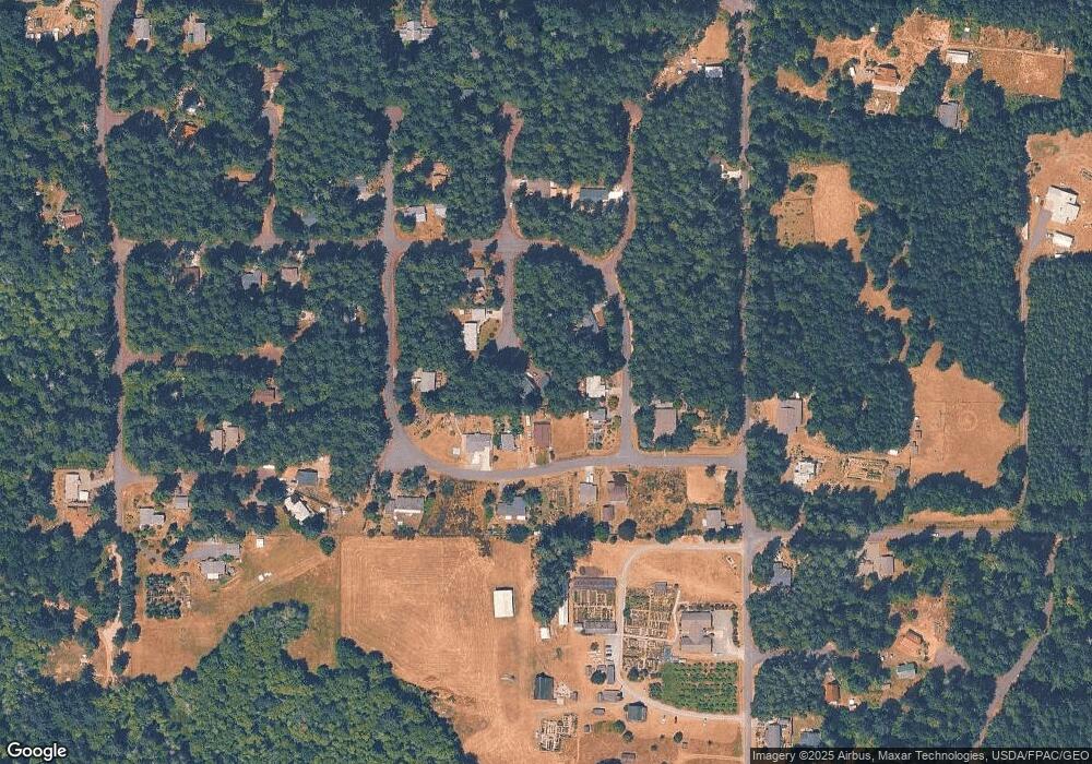
Map
Nearby Homes
- 12606 Silver Dr
- 8811 127th Avenue Ct
- 8912 126th Avenue Ct
- 12611 Silver Dr
- 12408 93rd St
- 9118 130th Avenue Ct
- 9310 123rd Ave
- 12727 96th Street Ct
- 12726 96th Street Ct
- 12123 Sunset Place
- 9223 Kootenai Dr
- 10115 Edgewood Dr
- 8615 Eckenstam Johnson Rd
- 10213 Edgewood Dr
- 9705 117th Ave
- 10412 Edgewood Dr
- 11316 Breaker Way
- 10611 Vantage Dr
- 10602 Vantage Dr
- 10607 Edgewood Dr Unit lot4&5
- 9019 127th Avenue Ct
- 9912 127th St
- 9115 Johnson Rd
- 9111 Johnson Rd Unit AI
- 9011 127th Avenue Ct
- 9012 127th Avenue Ct
- 12614 Silver Dr
- 12614 &12618 Silver Dr
- 9107 Johnson Rd Unit AI
- 8817 Johnson Rd
- 8810 Johnson Rd
- 9028 Johnson Rd
- 9017 Johnson Rd Unit AI
- 12802 Silver Dr
- 9118 Johnson Rd
- 9116 Johnson Rd
- 9120 Johnson Rd
- 12706 Silver Dr
- 12603 Silver Dr
- 9122 Johnson Rd Unit AI