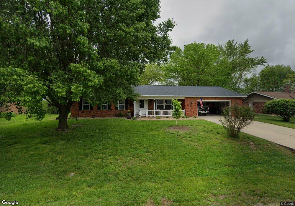
9019 Range Dr New Athens, IL 62264
Estimated Value: $206,544 - $320,000
3
Beds
2
Baths
1,788
Sq Ft
$149/Sq Ft
Est. Value
About This Home
This home is located at 9019 Range Dr, New Athens, IL 62264 and is currently estimated at $266,636, approximately $149 per square foot. 9019 Range Dr is a home located in St. Clair County with nearby schools including New Athens Elementary School and New Athens High School.
Create a Home Valuation Report for This Property
The Home Valuation Report is an in-depth analysis detailing your home's value as well as a comparison with similar homes in the area
Tax History
| Year | Tax Paid | Tax Assessment Tax Assessment Total Assessment is a certain percentage of the fair market value that is determined by local assessors to be the total taxable value of land and additions on the property. | Land | Improvement |
|---|---|---|---|---|
| 2024 | $3,245 | $54,463 | $7,044 | $47,419 |
| 2023 | $3,192 | $52,290 | $6,670 | $45,620 |
| 2022 | $3,472 | $54,460 | $6,670 | $47,790 |
| 2021 | $3,640 | $55,200 | $6,670 | $48,530 |
| 2020 | $3,108 | $46,680 | $6,670 | $40,010 |
| 2019 | $3,189 | $46,680 | $6,670 | $40,010 |
| 2018 | $3,272 | $46,680 | $6,670 | $40,010 |
| 2017 | $3,202 | $47,510 | $6,790 | $40,720 |
| 2016 | $0 | $48,250 | $6,670 | $41,580 |
| 2015 | $3,267 | $48,840 | $6,670 | $42,170 |
| 2014 | $3,211 | $49,420 | $6,670 | $42,750 |
| 2012 | -- | $50,560 | $6,670 | $43,890 |
Source: Public Records
Map
Nearby Homes
- 2266 Kaiser Rd
- 2230 Kaiser Rd
- Lot 1 E Back St
- Lot 2 E Back St
- 2420 Doe Ln
- 000 Hidden Prairie Ln
- 5511 Cedar Ridge Ln
- 5451 Club Congress Rd
- 13 Sandridge Dr
- 213 N Van Buren St
- 904 S Mill St
- 7057 State Route 156
- 2805 Scenic Lake Dr
- 2812 Scenic Lake Dr
- 4057 Bur Oak Dr
- 4200 Laurel Oak Ln
- 0 Unknown Unit 22065045
- 4017 Autumn Oak Dr
- 4016 Autumn Oak Dr
- 4112 Summer Oak Dr
Your Personal Tour Guide
Ask me questions while you tour the home.