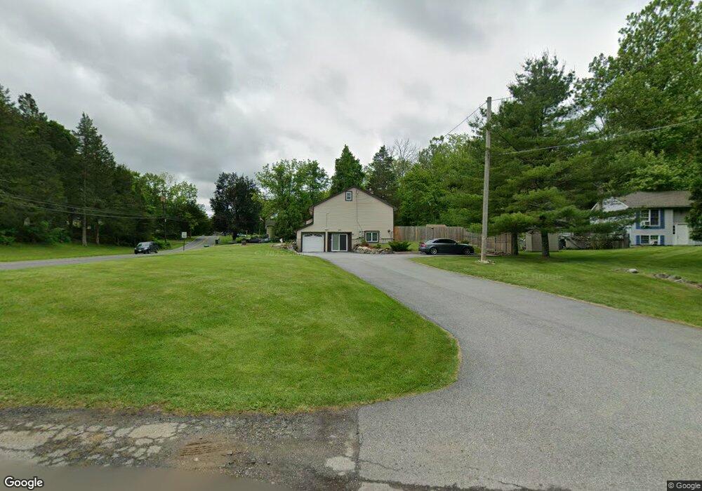
901A Meadowbrook Rd Newton, NJ 07860
Estimated Value: $325,448
--
Bed
--
Bath
2,184
Sq Ft
$149/Sq Ft
Est. Value
About This Home
This home is located at 901A Meadowbrook Rd, Newton, NJ 07860 and is currently estimated at $325,448, approximately $149 per square foot. 901A Meadowbrook Rd is a home located in Sussex County with nearby schools including Stillwater Township School and Kittatinny Regional High School.
Ownership History
Date
Name
Owned For
Owner Type
Purchase Details
Closed on
Feb 24, 2016
Sold by
Feldman Gerald and Feldman Clifford Irwin
Bought by
Katie S House Incorporated
Current Estimated Value
Purchase Details
Closed on
May 10, 2002
Sold by
Holly William
Bought by
Feldman Gerald
Purchase Details
Closed on
Dec 8, 2000
Sold by
Granato Salvatore and Granato Giovanna
Bought by
Holly William
Create a Home Valuation Report for This Property
The Home Valuation Report is an in-depth analysis detailing your home's value as well as a comparison with similar homes in the area
Home Values in the Area
Average Home Value in this Area
Purchase History
| Date | Buyer | Sale Price | Title Company |
|---|---|---|---|
| Katie S House Incorporated | $175,000 | First American Title Insuran | |
| Feldman Gerald | $229,900 | -- | |
| Holly William | $19,250 | -- |
Source: Public Records
Tax History Compared to Growth
Tax History
| Year | Tax Paid | Tax Assessment Tax Assessment Total Assessment is a certain percentage of the fair market value that is determined by local assessors to be the total taxable value of land and additions on the property. | Land | Improvement |
|---|---|---|---|---|
| 2025 | -- | $254,800 | $58,200 | $196,600 |
| 2024 | -- | $254,800 | $58,200 | $196,600 |
| 2023 | -- | $254,800 | $58,200 | $196,600 |
| 2022 | $0 | $254,800 | $58,200 | $196,600 |
| 2021 | $0 | $254,800 | $58,200 | $196,600 |
| 2020 | $0 | $254,800 | $58,200 | $196,600 |
| 2019 | $7,828 | $254,800 | $58,200 | $196,600 |
| 2018 | $0 | $254,800 | $58,200 | $196,600 |
| 2017 | $0 | $254,800 | $58,200 | $196,600 |
| 2016 | $7,828 | $254,800 | $58,200 | $196,600 |
| 2015 | $7,782 | $254,800 | $58,200 | $196,600 |
| 2014 | $7,731 | $254,800 | $58,200 | $196,600 |
Source: Public Records
Map
Nearby Homes
- 907 Meadowbrook Rd
- 965 Cedar Dr
- 936 Dove Island Rd
- 931 Cedar Dr
- 903 Stony Rd
- 1024 County Road 619
- 903 Cedar Dr
- 51 Paulinskill Lake Rd
- 905 Gapview Ct
- 63 Van Horn Rd
- 920 Deer Run Rd
- 30 Old Swartswood Rd
- 20 Anderson Hill Rd
- 44 Kohlbocker Rd
- 1049 County Road 521
- 1055-1057 Rt521
- 3 Roy Rd
- 1071 County Road 521
- 25 County Road 521
- 208 Willows Rd
- 901 Meadowbrook Rd
- 966 Edgewood Dr
- 902 Meadowbrook Rd
- 903 Meadowbrook Rd
- 971 Ridge Rd
- 899 Meadow Brook Rd
- 964 Edgewood Dr
- 902 Crest Rd
- 941 Cedar Dr
- 965 Edgewood Dr
- 967 Ridge Rd
- 901 Crest Rd
- 968 Cedar Dr
- 905 Meadowbrook Rd
- 966 Ridge Rd
- 904 Crest Rd
- 970 Ridge Rd
- 903 Crest Rd
- 965 Ridge Rd
- 962 Edgewood Dr