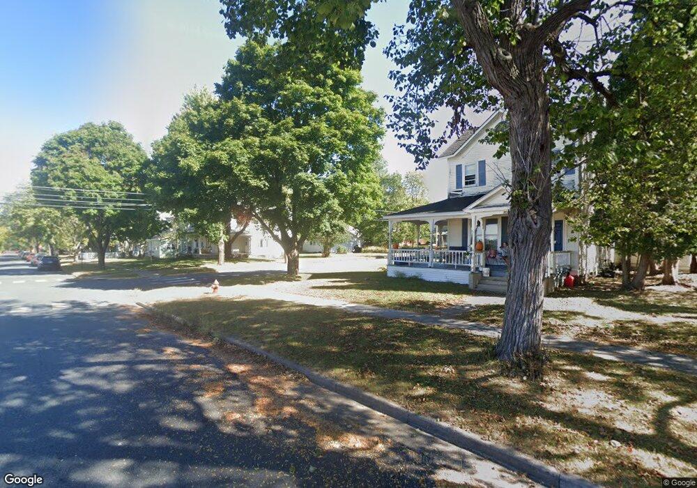
902 10th St E Menomonie, WI 54751
Estimated Value: $203,860 - $234,000
Studio
--
Bath
2,200
Sq Ft
$100/Sq Ft
Est. Value
About This Home
This home is located at 902 10th St E, Menomonie, WI 54751 and is currently estimated at $219,715, approximately $99 per square foot. 902 10th St E is a home located in Dunn County with nearby schools including Oaklawn Elementary School, Menomonie Middle School, and Menomonie High School.
Ownership History
Date
Name
Owned For
Owner Type
Purchase Details
Closed on
May 30, 2018
Sold by
Lohfink Thomas L and Lohfink Elizabeth J
Bought by
Harris Tom L
Current Estimated Value
Home Financials for this Owner
Home Financials are based on the most recent Mortgage that was taken out on this home.
Original Mortgage
$100,450
Outstanding Balance
$71,869
Interest Rate
4.4%
Mortgage Type
New Conventional
Estimated Equity
$147,846
Create a Home Valuation Report for This Property
The Home Valuation Report is an in-depth analysis detailing your home's value as well as a comparison with similar homes in the area
Home Values in the Area
Average Home Value in this Area
Purchase History
| Date | Buyer | Sale Price | Title Company |
|---|---|---|---|
| Harris Tom L | $100,000 | Dunn Cnty Title Svcs Inc |
Source: Public Records
Mortgage History
| Date | Status | Borrower | Loan Amount |
|---|---|---|---|
| Open | Harris Tom L | $100,450 |
Source: Public Records
Tax History
| Year | Tax Paid | Tax Assessment Tax Assessment Total Assessment is a certain percentage of the fair market value that is determined by local assessors to be the total taxable value of land and additions on the property. | Land | Improvement |
|---|---|---|---|---|
| 2025 | $3,274 | $157,800 | $16,000 | $141,800 |
| 2024 | $3,168 | $157,800 | $16,000 | $141,800 |
| 2023 | $3,043 | $157,800 | $16,000 | $141,800 |
| 2022 | $2,905 | $157,800 | $16,000 | $141,800 |
| 2021 | $3,047 | $157,800 | $16,000 | $141,800 |
| 2020 | $2,611 | $103,000 | $13,700 | $89,300 |
| 2019 | $2,453 | $103,000 | $13,700 | $89,300 |
| 2018 | $2,400 | $103,000 | $13,700 | $89,300 |
| 2017 | $2,498 | $103,000 | $13,700 | $89,300 |
| 2016 | $2,445 | $103,000 | $13,700 | $89,300 |
| 2015 | $2,448 | $103,000 | $13,700 | $89,300 |
| 2014 | $2,727 | $103,000 | $13,700 | $89,300 |
| 2013 | $2,772 | $103,000 | $13,700 | $89,300 |
Source: Public Records
Map
Nearby Homes
- 808 9th Ave E
- 503 11th St E
- 1208 7th St E Unit 1
- 1208 7th St E
- 329 Park Cir
- 1314 16th Ave E
- E2519 Highway 29
- 1905 Dairyland Rd
- 1715 2nd Ave SE
- 207 12th Ave W
- 9 18th St
- XXX 15th St NE
- 501 2nd St W
- 302 12th Ave W Unit 1-2
- 1607 Broadway St S
- 1109 3rd St W
- 1108 18th St Unit Lot 8
- 203 Wilson Ct
- 2202 Broadway St S
- 608 Fagstad St
- 908 10th St E
- 914 10th St E
- 1014 9th Ave E
- 820 10th St E
- 920 10th St E
- 1015 10th Ave E
- 1015 10th Ave E Unit 2
- 1020 9th Ave E
- 814 10th St E
- 814 10th St E Unit .5
- 814 10th St E Unit 1/2
- 814 10th St E
- 921 11th St E
- 1021 9th Ave E
- 1021 9th Ave E Unit 1
- 904 9th St E
- 1002 10th St E
- 1010 Wilson Ave
- 1002 Wilson Ave
- 1003 11th St E
Your Personal Tour Guide
Ask me questions while you tour the home.