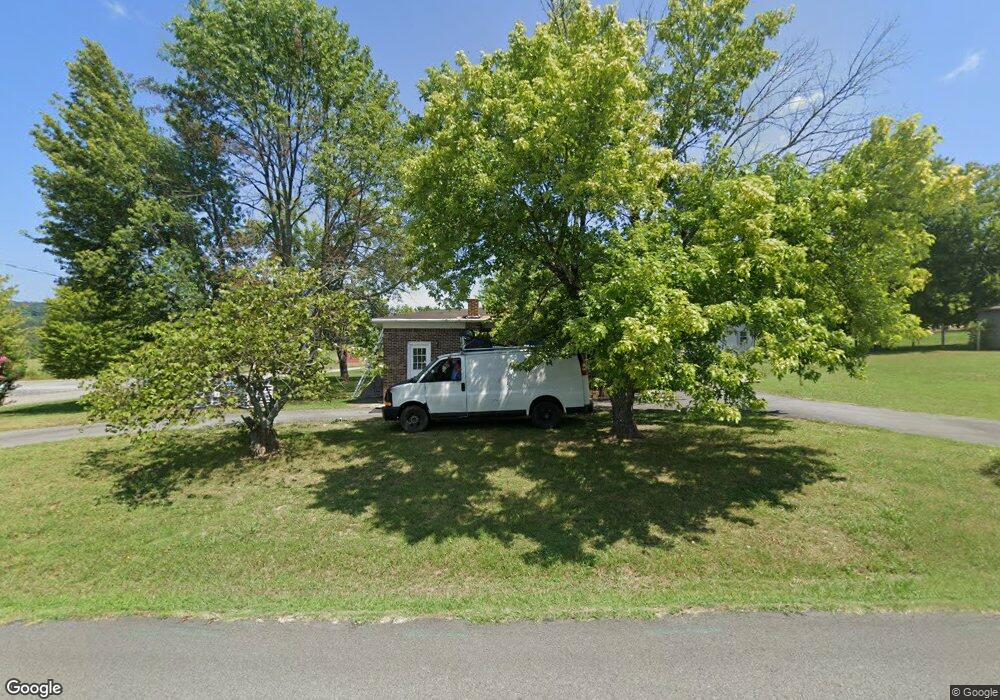
902 Elm St Leslie, AR 72645
Estimated Value: $103,000 - $195,000
Studio
1
Bath
1,568
Sq Ft
$92/Sq Ft
Est. Value
About This Home
This home is located at 902 Elm St, Leslie, AR 72645 and is currently estimated at $143,880, approximately $91 per square foot. 902 Elm St is a home located in Searcy County with nearby schools including Marshall Elementary School, Leslie Elementary School, and Marshall High School.
Ownership History
Date
Name
Owned For
Owner Type
Purchase Details
Closed on
Jun 1, 2010
Sold by
Ragland J and Ragland Donald
Bought by
Baker Forrest F
Current Estimated Value
Home Financials for this Owner
Home Financials are based on the most recent Mortgage that was taken out on this home.
Original Mortgage
$55,200
Interest Rate
3.86%
Mortgage Type
New Conventional
Purchase Details
Closed on
Jul 19, 2007
Sold by
Branscum David L
Bought by
Ragland J Donald and Ragland Paige
Home Financials for this Owner
Home Financials are based on the most recent Mortgage that was taken out on this home.
Original Mortgage
$60,000
Interest Rate
6.73%
Mortgage Type
Purchase Money Mortgage
Purchase Details
Closed on
May 31, 2002
Bought by
Leslie Public School
Purchase Details
Closed on
Mar 1, 1976
Bought by
Housley Ronald G and Housley Thereisa
Create a Home Valuation Report for This Property
The Home Valuation Report is an in-depth analysis detailing your home's value as well as a comparison with similar homes in the area
Purchase History
| Date | Buyer | Sale Price | Title Company |
|---|---|---|---|
| Baker Forrest F | $79,500 | -- | |
| Ragland J Donald | $60,000 | -- | |
| Leslie Public School | $54,000 | -- | |
| Housley Ronald G | -- | -- |
Source: Public Records
Mortgage History
| Date | Status | Borrower | Loan Amount |
|---|---|---|---|
| Previous Owner | Baker Forrest F | $55,200 | |
| Previous Owner | Ragland J Donald | $60,000 |
Source: Public Records
Tax History
| Year | Tax Paid | Tax Assessment Tax Assessment Total Assessment is a certain percentage of the fair market value that is determined by local assessors to be the total taxable value of land and additions on the property. | Land | Improvement |
|---|---|---|---|---|
| 2025 | $706 | $14,960 | $940 | $14,020 |
| 2024 | $644 | $14,960 | $940 | $14,020 |
| 2023 | $644 | $14,960 | $940 | $14,020 |
| 2022 | $269 | $14,960 | $940 | $14,020 |
| 2021 | $238 | $12,990 | $940 | $12,050 |
| 2020 | $210 | $12,990 | $940 | $12,050 |
| 2019 | $225 | $12,990 | $940 | $12,050 |
| 2018 | $224 | $12,990 | $940 | $12,050 |
| 2017 | $180 | $10,300 | $940 | $9,360 |
| 2016 | $144 | $10,300 | $940 | $9,360 |
| 2014 | $455 | $10,300 | $940 | $9,360 |
Source: Public Records
Map
Nearby Homes
- 405 Oak St
- 211 Oak St
- 414 Main St
- 813 Main St
- 418 Willson LN Wilson Ln
- 00 Daniel Hill Rd
- 7897 Trace Ridge Rd
- 0 Liberty Rd Unit 1296842
- 000 Daniel Hill Rd
- 396 August Farm Rd
- 1041 Campbell Rd
- 878 Harry Brown Rd
- 935 Standing Alone Rd
- 1169 Liberty Rd
- 1645 Prism Dr
- 00 Brooklyn Ln
- 305 Deer Run Rd
- 119 Venus Dr
- 2085 Quicksilver Rd
- 952 Wildwood Ln
Your Personal Tour Guide
Ask me questions while you tour the home.