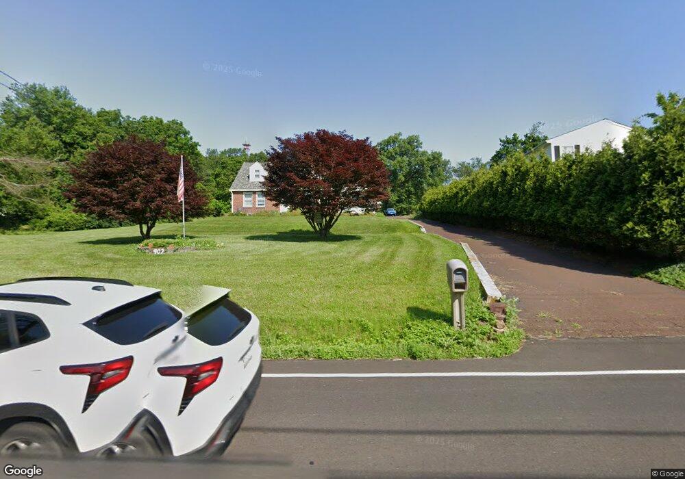
902 Ferry Rd Doylestown, PA 18901
Estimated Value: $491,000 - $605,000
Studio
1
Bath
1,707
Sq Ft
$317/Sq Ft
Est. Value
About This Home
This home is located at 902 Ferry Rd, Doylestown, PA 18901 and is currently estimated at $540,706, approximately $316 per square foot. 902 Ferry Rd is a home located in Bucks County with nearby schools including Groveland Elementary School, Tohickon Middle School, and Central Bucks High School-West.
Ownership History
Date
Name
Owned For
Owner Type
Purchase Details
Closed on
Jun 25, 2024
Sold by
Pustay Stephen W
Bought by
Pustay Stephen W and Nusslein Donna
Current Estimated Value
Purchase Details
Closed on
Mar 16, 2018
Sold by
Pustay Brenardine J and Pustay Stephen W
Bought by
Pustay Stephen W
Purchase Details
Closed on
Jun 14, 2011
Sold by
Pustay Louis and Pustay Bernardine J
Bought by
Pustay Bernardine J and Pustay Stephen W
Purchase Details
Closed on
Dec 7, 1967
Bought by
Pustay Louis and Pustay Bernardine J
Create a Home Valuation Report for This Property
The Home Valuation Report is an in-depth analysis detailing your home's value as well as a comparison with similar homes in the area
Home Values in the Area
Average Home Value in this Area
Purchase History
| Date | Buyer | Sale Price | Title Company |
|---|---|---|---|
| Pustay Stephen W | -- | None Listed On Document | |
| Pustay Stephen W | -- | None Available | |
| Pustay Bernardine J | -- | None Available | |
| Pustay Louis | -- | -- |
Source: Public Records
Tax History
| Year | Tax Paid | Tax Assessment Tax Assessment Total Assessment is a certain percentage of the fair market value that is determined by local assessors to be the total taxable value of land and additions on the property. | Land | Improvement |
|---|---|---|---|---|
| 2025 | $4,922 | $28,400 | $7,760 | $20,640 |
| 2024 | $4,922 | $28,400 | $7,760 | $20,640 |
| 2023 | $4,765 | $28,400 | $7,760 | $20,640 |
| 2022 | $4,671 | $28,400 | $7,760 | $20,640 |
| 2021 | $4,618 | $28,400 | $7,760 | $20,640 |
| 2020 | $4,618 | $28,400 | $7,760 | $20,640 |
| 2019 | $4,561 | $28,400 | $7,760 | $20,640 |
| 2018 | $4,561 | $28,400 | $7,760 | $20,640 |
| 2017 | $4,526 | $28,400 | $7,760 | $20,640 |
| 2016 | $4,526 | $28,400 | $7,760 | $20,640 |
| 2015 | -- | $28,400 | $7,760 | $20,640 |
| 2014 | -- | $28,400 | $7,760 | $20,640 |
Source: Public Records
Map
Nearby Homes
- 12 Pine Valley Rd
- 4 Ren Way
- 21 Washington Square Unit 36
- 225 Chestnut Valley Dr
- 325 Mystic View Cir
- 121 Conestoga Dr
- 325 N Shady Retreat Rd
- 200 N Shady Retreat Rd
- 807 N Broad St
- 3622 Alley E
- 274 Hickory Dr
- 197 Spring Ln
- 6 Edison Ln Unit 1
- 233 Hemlock Dr
- 3688 Christopher Day Rd
- 60 Cedar Dr
- 117 Conestoga Dr
- 158 Wooded Dr
- 250 Wooded Dr
- 450 Ford Hook Rd
Your Personal Tour Guide
Ask me questions while you tour the home.