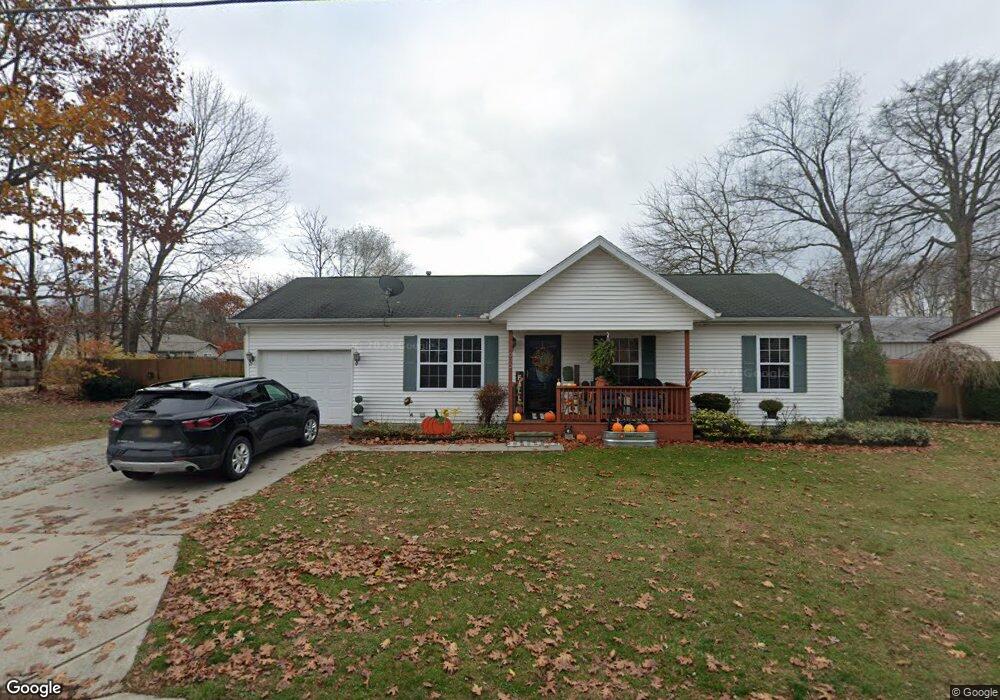
902 Johnstone St Port Huron, MI 48060
Estimated Value: $159,000 - $180,000
Studio
--
Bath
1,092
Sq Ft
$153/Sq Ft
Est. Value
About This Home
This home is located at 902 Johnstone St, Port Huron, MI 48060 and is currently estimated at $167,475, approximately $153 per square foot. 902 Johnstone St is a home located in St. Clair County with nearby schools including Woodrow Wilson Elementary School, Central Middle School, and Port Huron High School.
Ownership History
Date
Name
Owned For
Owner Type
Purchase Details
Closed on
Sep 18, 2025
Sold by
Toler Lynn A
Bought by
Renier Michael Lee
Current Estimated Value
Home Financials for this Owner
Home Financials are based on the most recent Mortgage that was taken out on this home.
Original Mortgage
$137,362
Outstanding Balance
$137,240
Interest Rate
6.58%
Mortgage Type
FHA
Estimated Equity
$30,235
Create a Home Valuation Report for This Property
The Home Valuation Report is an in-depth analysis detailing your home's value as well as a comparison with similar homes in the area
Home Values in the Area
Average Home Value in this Area
Purchase History
| Date | Buyer | Sale Price | Title Company |
|---|---|---|---|
| Renier Michael Lee | $180,000 | Ata National Title Group | |
| Toler Lynn A | -- | None Listed On Document |
Source: Public Records
Mortgage History
| Date | Status | Borrower | Loan Amount |
|---|---|---|---|
| Open | Toler Lynn A | $137,362 |
Source: Public Records
Tax History
| Year | Tax Paid | Tax Assessment Tax Assessment Total Assessment is a certain percentage of the fair market value that is determined by local assessors to be the total taxable value of land and additions on the property. | Land | Improvement |
|---|---|---|---|---|
| 2025 | $1,696 | $73,600 | $0 | $0 |
| 2024 | $1,653 | $71,000 | $0 | $0 |
| 2023 | $1,562 | $67,600 | $0 | $0 |
| 2022 | $1,623 | $62,600 | $0 | $0 |
| 2020 | $1,558 | $48,500 | $48,500 | $0 |
| 2019 | $1,530 | $34,000 | $0 | $0 |
| 2018 | $1,496 | $34,000 | $0 | $0 |
| 2017 | $1,336 | $31,900 | $0 | $0 |
| 2016 | $1,140 | $31,900 | $0 | $0 |
| 2015 | $1,180 | $31,700 | $31,700 | $0 |
| 2014 | $1,180 | $32,900 | $32,900 | $0 |
| 2013 | -- | $36,300 | $0 | $0 |
Source: Public Records
Map
Nearby Homes
- 738 Bancroft St
- 731 Bancroft St
- 835 Vanderburgh Place
- 2444 Military St
- 825 Minnie St
- 1918 7th St
- 1831 11th St
- 1127 Minnie St
- 1804 12th St
- 1623 8th St
- 1712 7th St
- 1334 Beard St
- 926 Griswold St
- 1403 Catherine McAuley Dr
- 727 Griswold St
- 1132 Griswold St
- 2704 Military St
- 1407 Minnie St
- 2724 Military St
- 1624 15th St
- 908 Johnstone St
- 905 Johnstone St
- 909 Johnstone St
- 2240 10th St
- 912 Johnstone St
- 831 Johnstone St
- 915 Johnstone St
- 830 Johnstone St
- 930 Johnstone St
- 925 Johnstone St
- 916 Jenkinson St
- 828 Johnstone St Unit Bldg-Unit
- 828 Johnstone St
- 900 Jenkinson St
- 900 Jenkinson St
- 904 Jenkinson St
- 906 Jenkinson St
- 927 Johnstone St
- 815 Johnstone St
- 2222 10th St