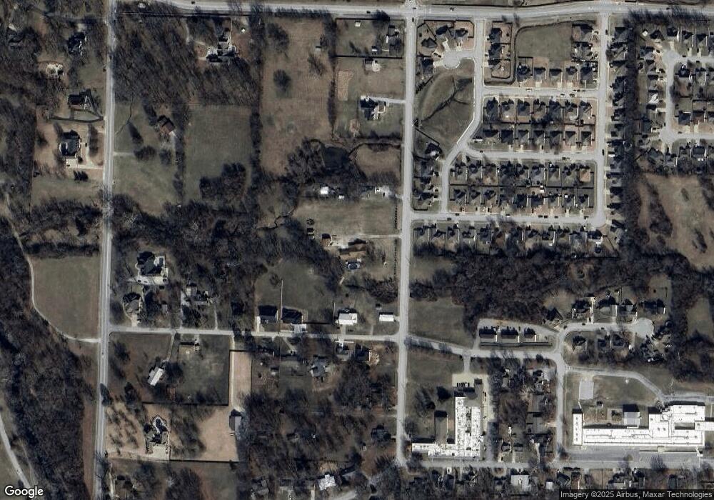
902 N Carl St Siloam Springs, AR 72761
Estimated Value: $381,000 - $619,934
--
Bed
4
Baths
3,138
Sq Ft
$152/Sq Ft
Est. Value
About This Home
This home is located at 902 N Carl St, Siloam Springs, AR 72761 and is currently estimated at $475,484, approximately $151 per square foot. 902 N Carl St is a home located in Benton County with nearby schools including Northside Elementary School, Delbert Pete & Pat Allen Elementary School, and Southside Elementary School.
Ownership History
Date
Name
Owned For
Owner Type
Purchase Details
Closed on
Jun 4, 2008
Sold by
Girdner James P and Girdner Ethel C
Bought by
Girdner James P and Girdner Ethel C
Current Estimated Value
Purchase Details
Closed on
Sep 13, 2005
Sold by
Keeton Lizzie A
Bought by
Girdner James P and Girdner Ethel C
Purchase Details
Closed on
Feb 24, 1998
Bought by
Keeton 2 Pcls
Create a Home Valuation Report for This Property
The Home Valuation Report is an in-depth analysis detailing your home's value as well as a comparison with similar homes in the area
Home Values in the Area
Average Home Value in this Area
Purchase History
| Date | Buyer | Sale Price | Title Company |
|---|---|---|---|
| Girdner James P | -- | None Available | |
| Girdner James P | $150,000 | Stewart Title Of Arkansas | |
| Keeton 2 Pcls | $4,000 | -- | |
| Winningham L | $4,000 | -- |
Source: Public Records
Tax History Compared to Growth
Tax History
| Year | Tax Paid | Tax Assessment Tax Assessment Total Assessment is a certain percentage of the fair market value that is determined by local assessors to be the total taxable value of land and additions on the property. | Land | Improvement |
|---|---|---|---|---|
| 2025 | $3,549 | $129,244 | $21,590 | $107,654 |
| 2024 | $3,643 | $129,244 | $21,590 | $107,654 |
| 2023 | $3,407 | $92,560 | $17,430 | $75,130 |
| 2022 | $3,029 | $92,560 | $17,430 | $75,130 |
| 2021 | $3,021 | $92,560 | $17,430 | $75,130 |
| 2020 | $3,032 | $71,990 | $21,780 | $50,210 |
| 2019 | $3,032 | $71,990 | $21,780 | $50,210 |
| 2018 | $3,057 | $71,990 | $21,780 | $50,210 |
| 2017 | $3,057 | $71,990 | $21,780 | $50,210 |
| 2016 | $3,057 | $71,990 | $21,780 | $50,210 |
| 2015 | $3,346 | $58,090 | $7,780 | $50,310 |
| 2014 | $2,996 | $58,090 | $7,780 | $50,310 |
Source: Public Records
Map
Nearby Homes
- 1050 W Garland St Unit A & B
- 607 Amanda Dr
- 606 Gail Dr
- 730 N Walnut Ct
- 605 Teri Dr
- 1707 N Dogwood St
- 1715 N Dogwood St
- 1609 N Dogwood St
- 1309 N Dogwood St
- 1617 N Dogwood St
- 1601 N Dogwood St
- 1541 N Dogwood St
- 1533 N Dogwood St
- 1108 Deerfield Meadow
- 402 Greenwood
- 1406 Avery Place
- 0000 N Elm St
- 401 Glenwood Place
- TBD South N Elm St
- 411 N Maple St
- 905 W Garland St
- 1023 W Garland St
- 904 N Carl St
- 808 Amanda Dr
- 955 W Garland St
- 806 Amanda Dr
- 901 W Garland St
- 1106 Lavona Ln
- 804 Amanda Dr
- 1045 W Garland St
- 1075 W Garland St
- 950 W Garland St
- 1108 Lavona Ln
- 802 Amanda Dr
- 803 Amanda Dr
- 1110 Lavona Ln
- 1050 W Garland St
- 708 Amanda Dr
- 804 Gail Dr
- 1024 W Garland St
