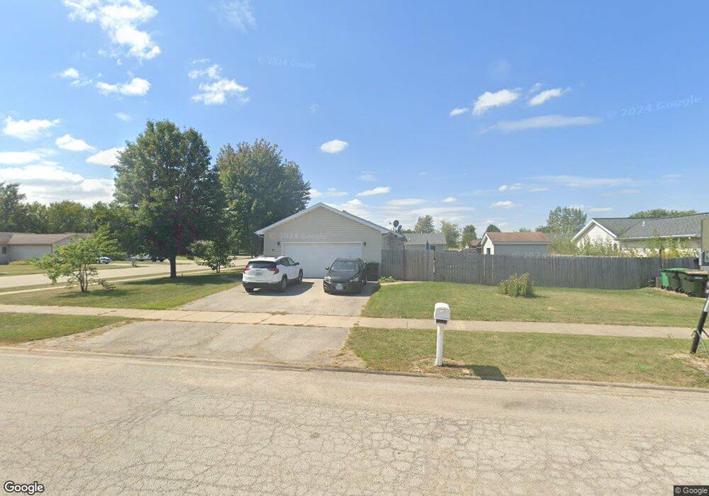
902 N Mabel Ct Braidwood, IL 60408
Estimated Value: $277,991 - $305,000
--
Bed
--
Bath
--
Sq Ft
0.3
Acres
About This Home
This home is located at 902 N Mabel Ct, Braidwood, IL 60408 and is currently estimated at $292,248. 902 N Mabel Ct is a home located in Will County with nearby schools including Reed-Custer Intermediate School, Reed-Custer Middle School, and Reed-Custer High School.
Ownership History
Date
Name
Owned For
Owner Type
Purchase Details
Closed on
Jul 30, 2020
Sold by
Bull Valerie L
Bought by
Berger David R
Current Estimated Value
Home Financials for this Owner
Home Financials are based on the most recent Mortgage that was taken out on this home.
Original Mortgage
$180,370
Outstanding Balance
$162,145
Interest Rate
3.75%
Mortgage Type
New Conventional
Estimated Equity
$130,103
Purchase Details
Closed on
Apr 22, 2004
Sold by
Grundy Bank
Bought by
Bull Valerie L
Home Financials for this Owner
Home Financials are based on the most recent Mortgage that was taken out on this home.
Original Mortgage
$134,812
Interest Rate
5.5%
Mortgage Type
Seller Take Back
Create a Home Valuation Report for This Property
The Home Valuation Report is an in-depth analysis detailing your home's value as well as a comparison with similar homes in the area
Home Values in the Area
Average Home Value in this Area
Purchase History
| Date | Buyer | Sale Price | Title Company |
|---|---|---|---|
| Berger David R | $189,900 | Fidelity Title | |
| Bull Valerie L | $29,000 | -- |
Source: Public Records
Mortgage History
| Date | Status | Borrower | Loan Amount |
|---|---|---|---|
| Open | Berger David R | $180,370 | |
| Previous Owner | Bull Valerie L | $134,812 |
Source: Public Records
Tax History Compared to Growth
Tax History
| Year | Tax Paid | Tax Assessment Tax Assessment Total Assessment is a certain percentage of the fair market value that is determined by local assessors to be the total taxable value of land and additions on the property. | Land | Improvement |
|---|---|---|---|---|
| 2024 | $4,818 | $80,087 | $15,883 | $64,204 |
| 2023 | $4,818 | $71,731 | $14,226 | $57,505 |
| 2022 | $4,070 | $65,091 | $12,909 | $52,182 |
| 2021 | $3,935 | $62,127 | $12,321 | $49,806 |
| 2020 | $3,724 | $58,860 | $11,673 | $47,187 |
| 2019 | $3,506 | $55,581 | $11,023 | $44,558 |
| 2018 | $3,366 | $53,187 | $10,548 | $42,639 |
| 2017 | $3,300 | $52,144 | $10,341 | $41,803 |
| 2016 | $3,211 | $50,429 | $10,001 | $40,428 |
| 2015 | $3,092 | $49,127 | $9,743 | $39,384 |
| 2014 | $3,092 | $49,127 | $9,743 | $39,384 |
| 2013 | $3,092 | $52,542 | $10,420 | $42,122 |
Source: Public Records
Map
Nearby Homes
- 495 W 6th St
- 430 W 7th St
- 605 N Division St
- 584 N Division St
- 642 W Bergera Rd
- 0000 N Division St
- 495 N Division St
- 837 Blackhawk Dr
- 470 N Walker St
- 466 N Walker St
- 886 Western Ave
- 460 N School St
- 470 N School St
- 382 W 3rd St
- 571 N Lincoln St
- 999 W Cermak Rd
- 1021 W Cermak Rd
- 1034 Madison Ave
- 1018 Madison Ave
- 203 E Coal City Rd