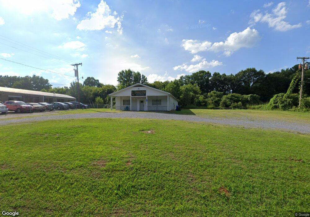
902 S Battleground Ave Kings Mountain, NC 28086
Estimated Value: $464,997
--
Bed
--
Bath
2,738
Sq Ft
$170/Sq Ft
Est. Value
About This Home
This home is located at 902 S Battleground Ave, Kings Mountain, NC 28086 and is currently estimated at $464,997, approximately $169 per square foot. 902 S Battleground Ave is a home located in Cleveland County with nearby schools including East Elementary School, Kings Mountain Middle, and Kings Mountain Intermediate School.
Ownership History
Date
Name
Owned For
Owner Type
Purchase Details
Closed on
Mar 12, 2025
Sold by
Heath Robert Michael
Bought by
Fletcher & Edwards Automotive Llc
Current Estimated Value
Home Financials for this Owner
Home Financials are based on the most recent Mortgage that was taken out on this home.
Original Mortgage
$136,000
Outstanding Balance
$124,421
Interest Rate
6.95%
Mortgage Type
New Conventional
Estimated Equity
$340,576
Create a Home Valuation Report for This Property
The Home Valuation Report is an in-depth analysis detailing your home's value as well as a comparison with similar homes in the area
Home Values in the Area
Average Home Value in this Area
Purchase History
| Date | Buyer | Sale Price | Title Company |
|---|---|---|---|
| Fletcher & Edwards Automotive Llc | $160,000 | None Listed On Document |
Source: Public Records
Mortgage History
| Date | Status | Borrower | Loan Amount |
|---|---|---|---|
| Open | Fletcher & Edwards Automotive Llc | $136,000 |
Source: Public Records
Tax History Compared to Growth
Tax History
| Year | Tax Paid | Tax Assessment Tax Assessment Total Assessment is a certain percentage of the fair market value that is determined by local assessors to be the total taxable value of land and additions on the property. | Land | Improvement |
|---|---|---|---|---|
| 2025 | $1,513 | $147,640 | $30,054 | $117,586 |
| 2024 | $1,719 | $147,212 | $13,390 | $133,822 |
| 2023 | $1,710 | $147,212 | $13,390 | $133,822 |
| 2022 | $1,637 | $147,212 | $13,390 | $133,822 |
| 2021 | $1,645 | $147,212 | $13,390 | $133,822 |
| 2020 | $1,596 | $138,809 | $13,390 | $125,419 |
| 2019 | $1,596 | $138,809 | $13,390 | $125,419 |
| 2018 | $1,596 | $138,809 | $13,390 | $125,419 |
| 2017 | $1,588 | $138,809 | $13,390 | $125,419 |
| 2016 | $1,596 | $138,809 | $13,390 | $125,419 |
| 2015 | $1,861 | $166,172 | $13,390 | $152,782 |
| 2014 | $1,861 | $166,172 | $13,390 | $152,782 |
Source: Public Records
Map
Nearby Homes
- 410 S Cansler St
- 400 S Cansler St
- 312 Wintergreen Ct
- 316 S Cansler St
- 811 W Gold St Unit 26
- 811 W Gold St Unit 15
- 112 Fulton Dr
- 200 E Gold St
- 417 Phifer Rd
- 440 Phifer Rd
- 442 Phifer Rd
- 106 N Tracy St
- 402 Scotland Dr
- 430 Fulton Dr
- 804 Lee St
- 300 N Watterson St
- 710 York Rd
- 102 Quality Ln
- 0 Southridge Dr Unit CAR4298120
- 208 Victoria Cir
- 908 S Battleground Ave
- 804 Hermitage Ct
- 808 Hillside Dr
- 700 S Railroad Ave
- 815 Hillside Dr
- 911 S Battleground Ave
- 813 Hillside Dr
- 806 Hillside Dr
- 806 Hermitage Ct
- 811 Hillside Dr
- 913 S Battleground Ave
- 809 Hillside Dr
- 620 S Railroad Ave
- 912 S Battleground Ave
- 804 Hillside Dr
- 700 Battleground Villa Ct
- 627 Meadowbrook Rd
- 703 Meadowbrook Rd
- 807 Hillside Dr
- 625 Meadowbrook Rd