Estimated Value: $342,699 - $380,000
4
Beds
3
Baths
2,322
Sq Ft
$158/Sq Ft
Est. Value
About This Home
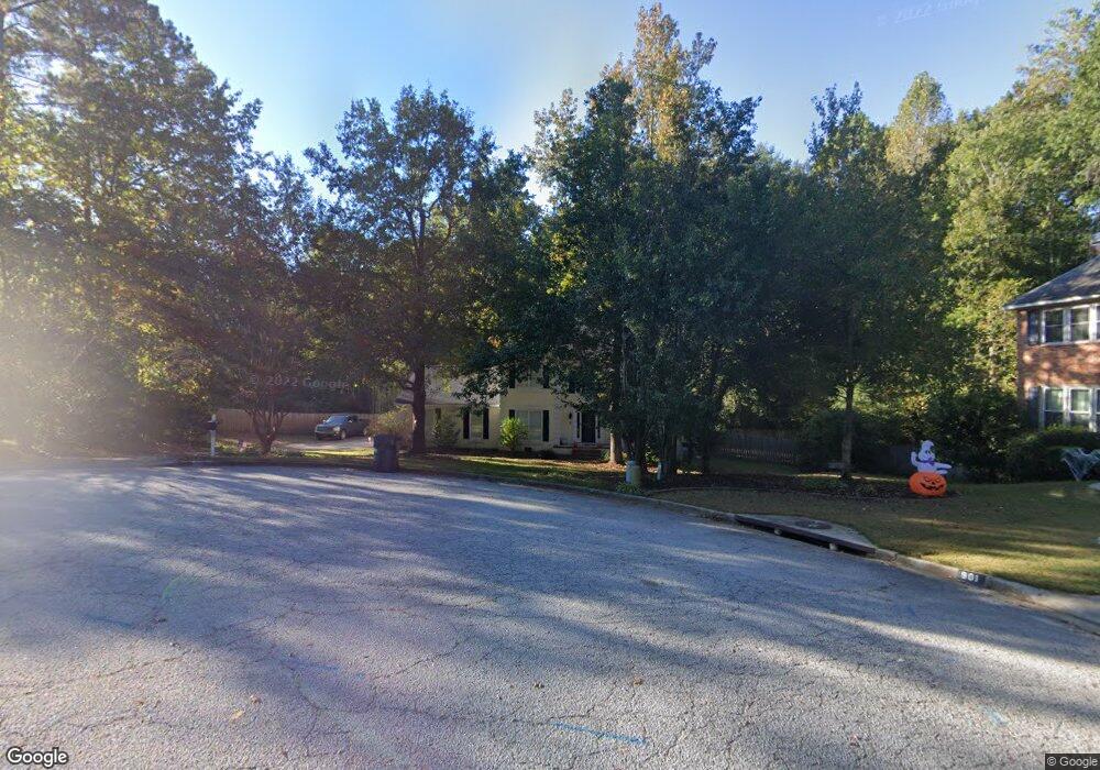
This home is located at 902 Sturbridge Dr, Evans, GA 30809 and is currently estimated at $367,675, approximately $158 per square foot. 902 Sturbridge Dr is a home located in Columbia County with nearby schools including River Ridge Elementary School, Riverside Middle School, and Lakeside High School.
Ownership History
Date
Name
Owned For
Owner Type
Purchase Details
Closed on
Jul 1, 2005
Sold by
Relocatio Cendant Mobility
Bought by
Burnett Robert S and Burnett Stephanie
Current Estimated Value
Home Financials for this Owner
Home Financials are based on the most recent Mortgage that was taken out on this home.
Original Mortgage
$143,100
Outstanding Balance
$73,646
Interest Rate
5.54%
Mortgage Type
New Conventional
Estimated Equity
$294,029
Purchase Details
Closed on
Jun 30, 2005
Sold by
Noto Mark D
Bought by
Cendant Mobility Relocation Co
Home Financials for this Owner
Home Financials are based on the most recent Mortgage that was taken out on this home.
Original Mortgage
$143,100
Outstanding Balance
$73,646
Interest Rate
5.54%
Mortgage Type
New Conventional
Estimated Equity
$294,029
Create a Home Valuation Report for This Property
The Home Valuation Report is an in-depth analysis detailing your home's value as well as a comparison with similar homes in the area
Home Values in the Area
Average Home Value in this Area
Purchase History
| Date | Buyer | Sale Price | Title Company |
|---|---|---|---|
| Burnett Robert S | $178,900 | -- | |
| Cendant Mobility Relocation Co | $176,300 | -- |
Source: Public Records
Mortgage History
| Date | Status | Borrower | Loan Amount |
|---|---|---|---|
| Open | Burnett Robert S | $143,100 | |
| Closed | Burnett Robert S | $26,800 |
Source: Public Records
Tax History
| Year | Tax Paid | Tax Assessment Tax Assessment Total Assessment is a certain percentage of the fair market value that is determined by local assessors to be the total taxable value of land and additions on the property. | Land | Improvement |
|---|---|---|---|---|
| 2025 | $3,023 | $126,284 | $28,104 | $98,180 |
| 2024 | $3,142 | $125,378 | $25,804 | $99,574 |
| 2023 | $3,142 | $117,935 | $25,604 | $92,331 |
| 2022 | $2,954 | $113,383 | $24,204 | $89,179 |
| 2021 | $2,488 | $91,310 | $19,204 | $72,106 |
| 2020 | $2,616 | $94,065 | $19,004 | $75,061 |
| 2019 | $2,488 | $89,436 | $17,904 | $71,532 |
| 2018 | $2,299 | $82,338 | $17,304 | $65,034 |
| 2017 | $2,324 | $82,968 | $16,704 | $66,264 |
| 2016 | $2,086 | $77,196 | $15,980 | $61,216 |
| 2015 | $1,983 | $73,248 | $15,780 | $57,468 |
| 2014 | $1,865 | $68,032 | $15,080 | $52,952 |
Source: Public Records
Map
Nearby Homes
- 4478 Cape Cod Dr
- 656 Deerwood Way
- 802 Sparkleberry Rd
- 644 Deerwood Way
- 800 Sparkleberry Rd
- 929 Burlington Dr
- 4418 Pierwood Way
- 829 Woodberry Dr
- 668 Deerwood Way
- 4489 Woodberry Ct
- 4484 Woodberry Ct
- 4449 Pierwood Way
- 809 Woodberry Dr
- 854 Sparkleberry Rd
- 726 Whitney Shoals Rd
- 881 Audubon Way
- 814 Audubon Way
- 648 River Oaks Ln
- 1 Woodbridge Way
- 4222 Deerwood Ln
- 900 Sturbridge Ct
- 901 Sturbridge Dr
- 896 Sturbridge Ct
- 899 Sturbridge Dr
- 895 Sturbridge Dr
- 889 Sturbridge Ct
- 4481 Cape Cod Dr
- 4477 Cape Cod Dr
- 888 Sturbridge Dr
- 4483 Cape Cod Dr
- 894 Sturbridge Ct
- 4485 Ridge Pine Dr
- 4485 Ridgepine Dr
- 893 Sturbridge Dr
- 908 Burlington Dr
- 4475 Cape Cod Dr
- 910 Burlington Dr
- 906 Burlington Dr
- 4489 Ridge Pine Dr
- 912 Burlington Dr
Your Personal Tour Guide
Ask me questions while you tour the home.