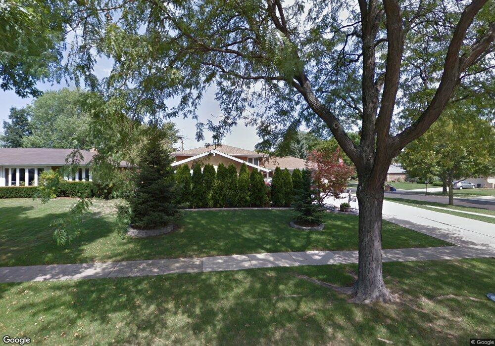
902 Walnut Dr Darien, IL 60561
Estimated Value: $435,000 - $607,000
Studio
1
Bath
1,741
Sq Ft
$300/Sq Ft
Est. Value
About This Home
This home is located at 902 Walnut Dr, Darien, IL 60561 and is currently estimated at $522,316, approximately $300 per square foot. 902 Walnut Dr is a home located in DuPage County with nearby schools including Mark Delay School, Lace Elementary School, and Eisenhower Jr High School.
Ownership History
Date
Name
Owned For
Owner Type
Purchase Details
Closed on
Aug 20, 1998
Sold by
Matuska Robert J and Matuska Suzanne
Bought by
Rolowicz John F and Rolowicz Antonia A
Current Estimated Value
Home Financials for this Owner
Home Financials are based on the most recent Mortgage that was taken out on this home.
Original Mortgage
$160,000
Interest Rate
6.99%
Create a Home Valuation Report for This Property
The Home Valuation Report is an in-depth analysis detailing your home's value as well as a comparison with similar homes in the area
Home Values in the Area
Average Home Value in this Area
Purchase History
| Date | Buyer | Sale Price | Title Company |
|---|---|---|---|
| Rolowicz John F | $241,000 | -- |
Source: Public Records
Mortgage History
| Date | Status | Borrower | Loan Amount |
|---|---|---|---|
| Closed | Rolowicz John F | $160,000 |
Source: Public Records
Tax History
| Year | Tax Paid | Tax Assessment Tax Assessment Total Assessment is a certain percentage of the fair market value that is determined by local assessors to be the total taxable value of land and additions on the property. | Land | Improvement |
|---|---|---|---|---|
| 2024 | -- | $148,963 | $61,841 | $87,122 |
| 2023 | $8,208 | $136,940 | $56,850 | $80,090 |
| 2022 | $8,506 | $133,050 | $55,690 | $77,360 |
| 2021 | $8,183 | $131,540 | $55,060 | $76,480 |
| 2020 | $8,074 | $128,940 | $53,970 | $74,970 |
| 2019 | $7,806 | $123,710 | $51,780 | $71,930 |
| 2018 | $7,388 | $118,310 | $51,340 | $66,970 |
| 2017 | $7,316 | $113,840 | $49,400 | $64,440 |
| 2016 | $7,129 | $108,650 | $47,150 | $61,500 |
| 2015 | $7,029 | $102,220 | $44,360 | $57,860 |
| 2014 | $7,187 | $102,980 | $43,130 | $59,850 |
| 2013 | $6,948 | $102,500 | $42,930 | $59,570 |
Source: Public Records
Map
Nearby Homes
- 7525 Nantucket Dr Unit 210
- 7713 Brookhaven Ave
- 7800 Dorchester Ln
- 7816 Dorchester Ln
- 7700 Apple Tree Ln
- 7725 Sawyer Rd
- 709 79th St Unit 408
- 801 79th St Unit 310
- 801 79th St Unit 103
- Lot 1, 2, 3, 4 & 5 Nantucket Dr
- 17W435 Concord Place
- 1204 Sleepy Hollow Ln
- 7209 Grant St
- 1447 Coventry Ct
- 18W089 Claremont Dr
- 1524 Brittany Ct
- 7925 William Dr
- 6808 Scotch Pine Trail
- 1052 Ripple Ridge
- 7730 Virginia Ct
- 906 Walnut Dr
- 7526 Comstock Ln
- 7533 Comstock Ln
- 7529 Comstock Ln
- 7522 Comstock Ln
- 901 Walnut Dr Unit 12
- 7525 Comstock Ln
- 905 Walnut Dr
- 7511 Country Ln
- 914 Walnut Dr
- 825 Walnut Dr
- 909 Walnut Dr
- 821 Walnut Dr
- 7518 Comstock Ln
- 7521 Comstock Ln
- 7509 Country Ln Unit 1N
- 7509 Country Ln
- 7513 Country Ln
- 7513 Country Ln Unit 2W
- 7513 Country Ln Unit 1E
Your Personal Tour Guide
Ask me questions while you tour the home.