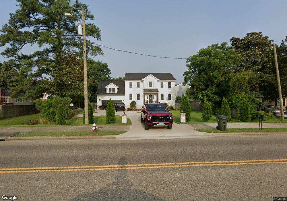
902 Yorktown Rd Poquoson, VA 23662
Poquoson West NeighborhoodEstimated Value: $613,763 - $674,000
5
Beds
3
Baths
3,000
Sq Ft
$216/Sq Ft
Est. Value
About This Home
This home is located at 902 Yorktown Rd, Poquoson, VA 23662 and is currently estimated at $648,691, approximately $216 per square foot. 902 Yorktown Rd is a home located in Poquoson City with nearby schools including Emmanuel Lutheran School, Living Word Academy, and Summit Christian Academy - Upper School.
Ownership History
Date
Name
Owned For
Owner Type
Purchase Details
Closed on
Jul 18, 2019
Sold by
Engle Tara E
Bought by
Barclay Michael D and Barclay Nadine Y
Current Estimated Value
Home Financials for this Owner
Home Financials are based on the most recent Mortgage that was taken out on this home.
Original Mortgage
$467,202
Outstanding Balance
$409,311
Interest Rate
3.82%
Mortgage Type
VA
Estimated Equity
$239,380
Purchase Details
Closed on
Feb 6, 2018
Sold by
Moore William T P and Moore Alfred P
Bought by
Engle Tara E
Create a Home Valuation Report for This Property
The Home Valuation Report is an in-depth analysis detailing your home's value as well as a comparison with similar homes in the area
Home Values in the Area
Average Home Value in this Area
Purchase History
| Date | Buyer | Sale Price | Title Company |
|---|---|---|---|
| Barclay Michael D | $459,900 | Attorney | |
| Engle Tara E | $70,000 | Stewart Title Guaranty Co |
Source: Public Records
Mortgage History
| Date | Status | Borrower | Loan Amount |
|---|---|---|---|
| Open | Barclay Michael D | $467,202 |
Source: Public Records
Tax History Compared to Growth
Tax History
| Year | Tax Paid | Tax Assessment Tax Assessment Total Assessment is a certain percentage of the fair market value that is determined by local assessors to be the total taxable value of land and additions on the property. | Land | Improvement |
|---|---|---|---|---|
| 2024 | $5,845 | $512,700 | $82,400 | $430,300 |
| 2023 | $5,691 | $512,700 | $82,400 | $430,300 |
| 2022 | $5,361 | $474,400 | $85,700 | $388,700 |
| 2021 | $5,361 | $474,400 | $85,700 | $388,700 |
| 2020 | -- | $453,000 | $85,700 | $367,300 |
| 2019 | -- | $453,000 | $85,700 | $367,300 |
| 2018 | -- | $85,700 | $85,700 | $0 |
| 2017 | -- | $85,700 | $85,700 | $0 |
| 2016 | -- | $85,700 | $85,700 | $0 |
| 2015 | -- | $87,900 | $87,900 | $0 |
| 2013 | -- | $87,900 | $87,900 | $0 |
Source: Public Records
Map
Nearby Homes
- 11 Valmoore Dr
- 63 Charles Parish Dr
- 8 Wornom Farm Rd
- 40 Valmoore Dr
- 28 Pasture Rd
- 11 Dorothy Dr
- 41 W Sandy Point Rd
- 45 Valasia Rd
- 11 Bull Run
- 718C Poquoson Ave
- 15+AC Browns Neck Rd
- 706 Yorktown Rd
- 21 Rens Rd
- 9 Cherokee Dr
- 15 Pickins Dr
- 1 Phillips Rd
- 105 Rens Rd Unit 74
- 105 Rens Rd Unit 30
- 105 Rens Rd Unit 2
- 105 Rens Rd Unit Lot 48
- 900 Yorktown Rd
- 882 Yorktown Rd
- 2 W River Rd
- 4 W River Rd
- 11 Hunts Neck Rd
- 3 Hunts Neck Rd
- 895 Yorktown Rd
- 878 Yorktown Rd
- 889 Yorktown Rd
- 2 Hunts Neck Rd
- 0 Hunts Neck Rd
- 1/2 Hunts Neck Rd
- 915 Yorktown Rd
- 1 W River Rd
- 887 Yorktown Rd
- 3 W River Rd
- 6 W River Rd
- 876 Yorktown Rd
- 9 Hunts Neck Rd
- 4 Hunts Neck Rd