9020 Grant Rd Battle Ground, IN 47920
Estimated Value: $296,323 - $392,000
--
Bed
--
Bath
1,624
Sq Ft
$206/Sq Ft
Est. Value
About This Home
This home is located at 9020 Grant Rd, Battle Ground, IN 47920 and is currently estimated at $334,831, approximately $206 per square foot. 9020 Grant Rd is a home located in Tippecanoe County with nearby schools including Battle Ground Elementary School, Battle Ground Middle School, and William Henry Harrison High School.
Ownership History
Date
Name
Owned For
Owner Type
Purchase Details
Closed on
Apr 16, 2024
Sold by
Brown Samuel J
Bought by
Santon Scott D and Santon Bridget A
Current Estimated Value
Home Financials for this Owner
Home Financials are based on the most recent Mortgage that was taken out on this home.
Original Mortgage
$126,900
Outstanding Balance
$125,004
Interest Rate
6.88%
Mortgage Type
New Conventional
Estimated Equity
$209,827
Purchase Details
Closed on
Dec 3, 2010
Sold by
Brown Adam J and Brown Burgess K
Bought by
Brown Samuel J
Purchase Details
Closed on
May 26, 2004
Sold by
Brown Martha A
Bought by
County Of Tippecanoe
Create a Home Valuation Report for This Property
The Home Valuation Report is an in-depth analysis detailing your home's value as well as a comparison with similar homes in the area
Home Values in the Area
Average Home Value in this Area
Purchase History
| Date | Buyer | Sale Price | Title Company |
|---|---|---|---|
| Santon Scott D | -- | None Listed On Document | |
| Brown Samuel J | -- | None Available | |
| County Of Tippecanoe | -- | -- |
Source: Public Records
Mortgage History
| Date | Status | Borrower | Loan Amount |
|---|---|---|---|
| Open | Santon Scott D | $126,900 |
Source: Public Records
Tax History Compared to Growth
Tax History
| Year | Tax Paid | Tax Assessment Tax Assessment Total Assessment is a certain percentage of the fair market value that is determined by local assessors to be the total taxable value of land and additions on the property. | Land | Improvement |
|---|---|---|---|---|
| 2024 | $1,709 | $254,400 | $31,100 | $223,300 |
| 2023 | $1,617 | $241,500 | $31,100 | $210,400 |
| 2022 | $1,514 | $209,200 | $31,100 | $178,100 |
| 2021 | $1,339 | $188,700 | $31,100 | $157,600 |
| 2020 | $1,180 | $173,900 | $31,100 | $142,800 |
| 2019 | $1,132 | $169,000 | $31,100 | $137,900 |
| 2018 | $1,054 | $162,300 | $31,100 | $131,200 |
| 2017 | $1,028 | $158,100 | $31,100 | $127,000 |
| 2016 | $994 | $155,000 | $31,100 | $123,900 |
| 2014 | $861 | $139,000 | $31,100 | $107,900 |
| 2013 | $876 | $136,500 | $31,100 | $105,400 |
Source: Public Records
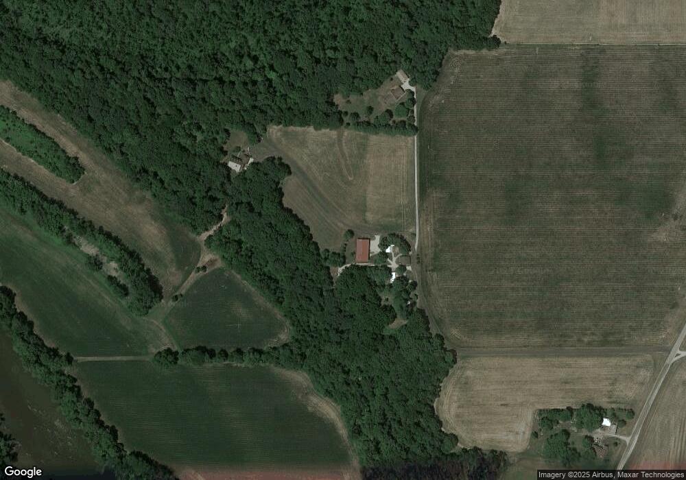
Map
Nearby Homes
- 12814 W Bicycle Bridge Rd
- 1579 W Herring Way
- 9170 Herring Ln
- 9120 Herring Ln
- 7020 Indian Mound Trail
- 7413 Greenview Dr
- 7207 E Greenview Dr
- 1578 W Herring Way Rd
- 10357 S Black Locust Ct
- 11503 W Tecumseh Bend Rd
- 10030 E 700 N
- 3376 N Jersey Dr
- 6209 Huston Rd
- 2075 N 925 W
- 3886 E 1000 S
- 7640 N 1000 E
- 35 Pond View Dr
- 11193 W 400 N
- 5935 Houston Rd
- 8649 W Division Line Rd
- 9030 Grant Rd
- 7323 E 975 N
- 7327 E 975 N
- 975 North St
- 7309 E 975 N
- 7351 E 975 N
- 6900 Indian Bluff Rd
- 7355 E 975 N
- 7401 E 975 N
- 6904 Indian Bluff Rd
- 9444 Grant Rd
- 6828 Indian Bluff Rd
- 7409 E 975 N
- 7245 E 975 N
- 7413 E 975 N
- 6808 Indian Bluff Rd
- 7241 E 975 N
- 6732 Indian Bluff Rd
- 6726 Indian Bluff Rd
- 8926 Grant Rd