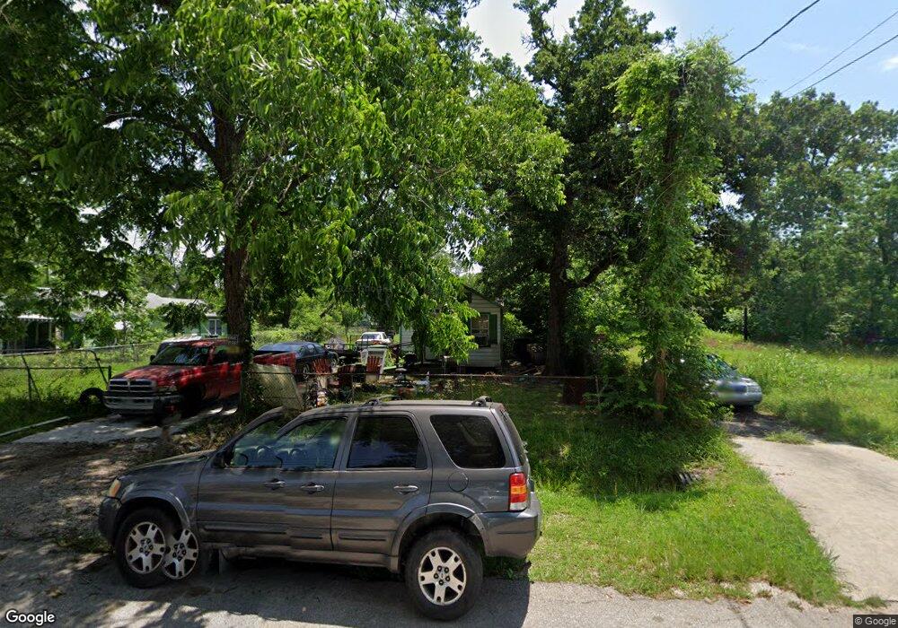
9020 Lanewood Dr Houston, TX 77016
Trinity-Houston Gardens NeighborhoodEstimated Value: $88,603 - $189,000
1
Bed
1
Bath
552
Sq Ft
$248/Sq Ft
Est. Value
About This Home
This home is located at 9020 Lanewood Dr, Houston, TX 77016 and is currently estimated at $136,651, approximately $247 per square foot. 9020 Lanewood Dr is a home located in Harris County with nearby schools including Felix Cook Jr. Elementary School, Key Middle, and Kashmere High School.
Ownership History
Date
Name
Owned For
Owner Type
Purchase Details
Closed on
Nov 14, 2007
Sold by
Sutton Barbara Williams
Bought by
Charles Arthur L and Charles Betty B
Current Estimated Value
Purchase Details
Closed on
Dec 14, 2006
Sold by
Sutton Ruben Alonzo
Bought by
Sutton Barbara Williams
Home Financials for this Owner
Home Financials are based on the most recent Mortgage that was taken out on this home.
Original Mortgage
$15,330
Interest Rate
5%
Mortgage Type
Purchase Money Mortgage
Create a Home Valuation Report for This Property
The Home Valuation Report is an in-depth analysis detailing your home's value as well as a comparison with similar homes in the area
Home Values in the Area
Average Home Value in this Area
Purchase History
| Date | Buyer | Sale Price | Title Company |
|---|---|---|---|
| Charles Arthur L | -- | None Available | |
| Sutton Barbara Williams | -- | None Available |
Source: Public Records
Mortgage History
| Date | Status | Borrower | Loan Amount |
|---|---|---|---|
| Previous Owner | Sutton Barbara Williams | $15,330 |
Source: Public Records
Tax History Compared to Growth
Tax History
| Year | Tax Paid | Tax Assessment Tax Assessment Total Assessment is a certain percentage of the fair market value that is determined by local assessors to be the total taxable value of land and additions on the property. | Land | Improvement |
|---|---|---|---|---|
| 2025 | $1,543 | $73,740 | $51,795 | $21,945 |
| 2024 | $1,543 | $73,740 | $51,795 | $21,945 |
| 2023 | $1,543 | $62,786 | $38,846 | $23,940 |
| 2022 | $976 | $44,348 | $25,898 | $18,450 |
| 2021 | $717 | $30,767 | $17,265 | $13,502 |
| 2020 | $704 | $29,069 | $17,265 | $11,804 |
| 2019 | $620 | $24,506 | $13,812 | $10,694 |
| 2018 | $544 | $21,482 | $13,812 | $7,670 |
| 2017 | $543 | $21,482 | $13,812 | $7,670 |
| 2016 | $428 | $16,926 | $10,791 | $6,135 |
| 2015 | $383 | $14,890 | $9,927 | $4,963 |
| 2014 | $383 | $14,890 | $9,927 | $4,963 |
Source: Public Records
Map
Nearby Homes
- 9205 & 9207 Spaulding St
- 8914 Lanewood Dr
- 9009 Compton St
- 8928 Homestead Rd
- 9227 Homestead Rd
- 6415 Laura Koppe Rd
- 6513 Laura Koppe Rd
- 9317 Homestead Rd
- 8504 Shady Dr
- 6320 Laura Koppe Rd
- 5009 Tidwell Rd
- 6110 Tidwell Rd
- 9316 Sundown Dr
- 6226 E Tidwell Rd
- 8700 Lanewood Dr
- 6213 Laura Koppe Rd
- 7129 Springdale St Unit A/B
- 6206 Antha St
- 9412 Crofton St
- 6012 Laura Koppe Rd
- 9022 Lanewood Dr
- 9004 Lanewood Dr
- 9102 Lanewood Dr
- 9019 Spaulding St
- 9011 Spaulding St
- 9015 Spaulding St
- 9104 Lanewood Dr
- 9021 Spaulding St
- 9006 Lanewood Dr
- 9005 Spaulding St
- 9019 Lanewood Dr
- 9023 Lanewood Dr
- 9023 Lanewood Dr
- 9023 Lanewood Dr Unit B
- 9023 Lanewood Dr Unit A
- 9101 Spaulding St
- 9106 Lanewood Dr
- 9027 Lanewood Dr
- 9001 Spaulding St
- 9005 Lanewood Dr