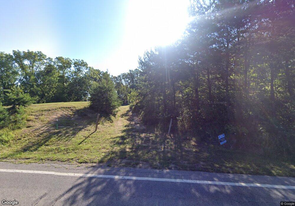
Estimated Value: $378,000 - $568,000
4
Beds
3
Baths
3,968
Sq Ft
$117/Sq Ft
Est. Value
About This Home
This home is located at 9020 State Route 664 N, Logan, OH 43138 and is currently estimated at $462,321, approximately $116 per square foot. 9020 State Route 664 N is a home with nearby schools including Chieftain Elementary School.
Ownership History
Date
Name
Owned For
Owner Type
Purchase Details
Closed on
Jun 2, 2021
Sold by
Roberts Lance P and Roberts Winki R
Bought by
Mcmanis David Lamar and Mcmanis Kelly Jean
Current Estimated Value
Home Financials for this Owner
Home Financials are based on the most recent Mortgage that was taken out on this home.
Original Mortgage
$332,000
Outstanding Balance
$309,518
Interest Rate
4.75%
Mortgage Type
Construction
Estimated Equity
$152,803
Purchase Details
Closed on
Aug 2, 2017
Sold by
Flowers Ronald Scott
Bought by
Roberts Lance P and Roberts Winki R
Home Financials for this Owner
Home Financials are based on the most recent Mortgage that was taken out on this home.
Original Mortgage
$110,800
Interest Rate
4%
Mortgage Type
Adjustable Rate Mortgage/ARM
Create a Home Valuation Report for This Property
The Home Valuation Report is an in-depth analysis detailing your home's value as well as a comparison with similar homes in the area
Home Values in the Area
Average Home Value in this Area
Purchase History
| Date | Buyer | Sale Price | Title Company |
|---|---|---|---|
| Mcmanis David Lamar | $51,500 | None Available | |
| Roberts Lance P | $138,500 | First Ohio Title Insurance |
Source: Public Records
Mortgage History
| Date | Status | Borrower | Loan Amount |
|---|---|---|---|
| Open | Mcmanis David Lamar | $332,000 | |
| Previous Owner | Roberts Lance P | $110,800 |
Source: Public Records
Tax History Compared to Growth
Tax History
| Year | Tax Paid | Tax Assessment Tax Assessment Total Assessment is a certain percentage of the fair market value that is determined by local assessors to be the total taxable value of land and additions on the property. | Land | Improvement |
|---|---|---|---|---|
| 2024 | $3,709 | $94,440 | $19,900 | $74,540 |
| 2023 | $3,709 | $94,440 | $19,900 | $74,540 |
| 2022 | $3,715 | $94,440 | $19,900 | $74,540 |
| 2021 | $189 | $4,490 | $4,490 | $0 |
| 2020 | $189 | $4,490 | $4,490 | $0 |
| 2019 | $189 | $4,490 | $4,490 | $0 |
| 2018 | $124 | $2,990 | $2,990 | $0 |
| 2017 | $122 | $2,990 | $2,990 | $0 |
| 2016 | $121 | $2,990 | $2,990 | $0 |
| 2015 | $174 | $4,150 | $4,150 | $0 |
| 2014 | $174 | $4,150 | $4,150 | $0 |
| 2013 | $175 | $4,150 | $4,150 | $0 |
Source: Public Records
Map
Nearby Homes
- 8941 State Route 664 N
- 9600 Larimer Rd
- 10210 Frasure Helber Rd
- 31740 Huston Rd
- 9168 Bremen Rd
- 0 Walnut Dowler Rd Unit 225043922
- 10132 Bremen Rd
- 0 V L Logan Horns Rd Unit 5161984
- 12151 State Route 93 N
- 11200 Bremen Rd
- 0 Roley Rd
- 12170 State Route 93 N
- 29002 Rockstull Rd
- 9271 Roley Rd
- 8916 Roley Rd
- 0 Chieftain Dr
- 5618 Ohio 664
- 35041 Hunter Rd
- 0 Schmeltzer Rd
- 737 Glenwood Dr
- 31555 Schrader Rd
- 9100 State Route 664 N
- 8990 State Route 664 N
- 31519 Schrader Rd
- 31517 Schrader Rd
- 31501 Schrader Rd
- 9099 State Route 664 N
- 9162 State Route 664 N
- 31460 Schrader Rd
- 8865 Ohio 664
- 8865 State Route 664 N
- 31442 Schrader Rd
- 8864 Ohio 664
- 8827 State Route 664 N
- 8864 State Route 664 N
- 9233 State Route 664 N
- 9210 Walnut Dowler Rd
- 8763 N State Route 664
- 9175 Walnut Dowler Rd
- 31340 Schrader Rd
