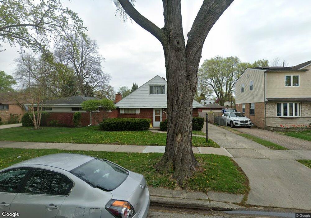
9021 Mansfield Ave Morton Grove, IL 60053
Estimated Value: $294,000 - $402,000
3
Beds
1
Bath
1,192
Sq Ft
$312/Sq Ft
Est. Value
About This Home
This home is located at 9021 Mansfield Ave, Morton Grove, IL 60053 and is currently estimated at $372,370, approximately $312 per square foot. 9021 Mansfield Ave is a home located in Cook County with nearby schools including Park View Elementary School and Niles West High School.
Ownership History
Date
Name
Owned For
Owner Type
Purchase Details
Closed on
Jul 23, 2020
Sold by
Hls Real Estate Investments Llc
Bought by
Perzov David
Current Estimated Value
Purchase Details
Closed on
Feb 15, 2013
Sold by
Skallerup Curtis L
Bought by
Hls Real Estate Investments Llc
Purchase Details
Closed on
Nov 19, 2011
Sold by
Skallerup Curtis L
Bought by
Skallerup Curtis L and Curtis L Skallerup Trust
Purchase Details
Closed on
Mar 19, 2011
Sold by
Skallerup Carline J
Bought by
Skallerup Carline J
Create a Home Valuation Report for This Property
The Home Valuation Report is an in-depth analysis detailing your home's value as well as a comparison with similar homes in the area
Home Values in the Area
Average Home Value in this Area
Purchase History
| Date | Buyer | Sale Price | Title Company |
|---|---|---|---|
| Perzov David | $182,500 | Chicago Title | |
| Hls Real Estate Investments Llc | -- | None Available | |
| Skallerup Curtis L | -- | None Available | |
| Skallerup Carline J | -- | None Available |
Source: Public Records
Tax History Compared to Growth
Tax History
| Year | Tax Paid | Tax Assessment Tax Assessment Total Assessment is a certain percentage of the fair market value that is determined by local assessors to be the total taxable value of land and additions on the property. | Land | Improvement |
|---|---|---|---|---|
| 2024 | $8,665 | $30,001 | $7,313 | $22,688 |
| 2023 | $8,256 | $30,001 | $7,313 | $22,688 |
| 2022 | $8,256 | $30,001 | $7,313 | $22,688 |
| 2021 | $7,656 | $23,870 | $4,500 | $19,370 |
| 2020 | $7,453 | $23,870 | $4,500 | $19,370 |
| 2019 | $8,266 | $29,522 | $4,500 | $25,022 |
| 2018 | $7,270 | $23,039 | $4,078 | $18,961 |
| 2017 | $7,324 | $23,039 | $4,078 | $18,961 |
| 2016 | $6,904 | $23,039 | $4,078 | $18,961 |
| 2015 | $6,401 | $19,864 | $3,515 | $16,349 |
| 2014 | $6,394 | $19,864 | $3,515 | $16,349 |
| 2013 | $6,248 | $19,864 | $3,515 | $16,349 |
Source: Public Records
Map
Nearby Homes
- 8841 Menard Ave
- 8836 Mansfield Ave
- 8918 Parkside Ave
- 9224 Menard Ave
- 5536 Greenwood St
- 8849 Mcvicker Ave
- 9314 Menard Ave
- 9320 Menard Ave
- 9234 Central Ave
- 5644 Lyons St
- 5459 Suffield Ct
- 5449 Arcadia St
- 8708 Central Ave
- 5352 Greenwood St
- 8655 Harms Rd
- 5247 Suffield Ct
- 8541 Lotus Ave Unit 914
- 5309 Crain St
- 5510 Lincoln Ave Unit B301
- 5510 Lincoln Ave Unit B101
- 9015 Mansfield Ave
- 9015 Mansfield Ave
- 9025 Mansfield Ave
- 9029 Mansfield Ave
- 9011 Mansfield Ave
- 9011 Mansfield Ave
- 9020 Menard Ave
- 9035 Mansfield Ave
- 9022 Menard Ave
- 9014 Menard Ave
- 9026 Menard Ave
- 9005 Mansfield Ave
- 9012 Menard Ave
- 9028 Menard Ave
- 9020 Mansfield Ave
- 9022 Mansfield Ave
- 9037 Mansfield Ave
- 9014 Mansfield Ave
- 9026 Mansfield Ave
- 9034 Menard Ave