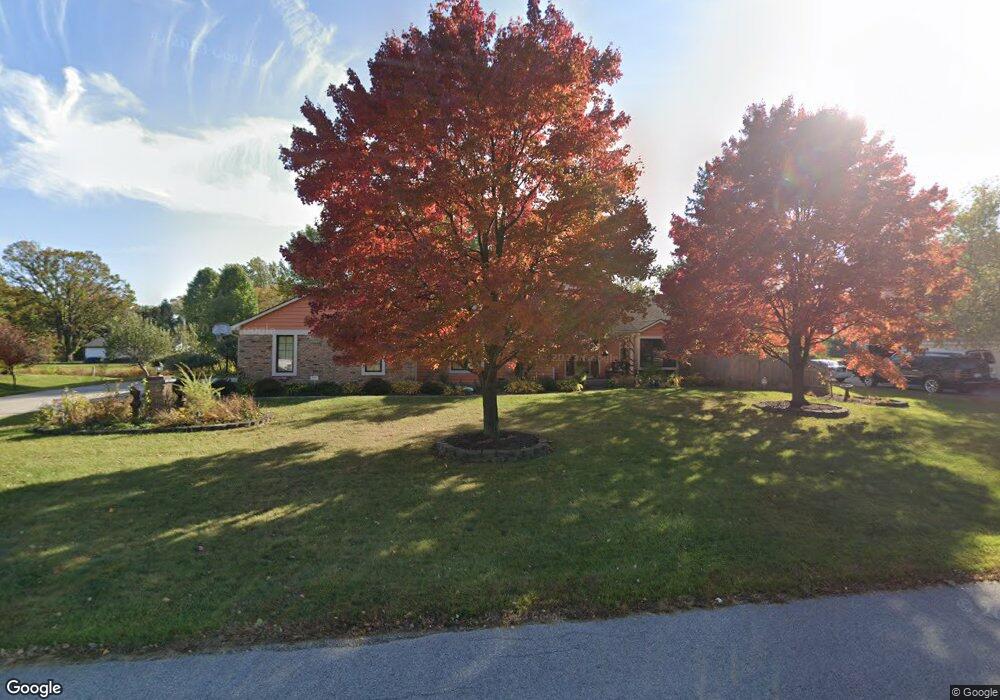
9022 Laurel Hurst Fort Wayne, IN 46835
Arlington Park NeighborhoodEstimated Value: $359,000 - $466,000
5
Beds
3
Baths
2,770
Sq Ft
$153/Sq Ft
Est. Value
About This Home
This home is located at 9022 Laurel Hurst, Fort Wayne, IN 46835 and is currently estimated at $424,299, approximately $153 per square foot. 9022 Laurel Hurst is a home located in Allen County with nearby schools including Arlington Elementary School, Jefferson Middle School, and Northrop High School.
Ownership History
Date
Name
Owned For
Owner Type
Purchase Details
Closed on
Apr 29, 2002
Sold by
Mcintosh Jack P and Mcintosh Candice L
Bought by
Thor Jonas and Thor Sabrina
Current Estimated Value
Home Financials for this Owner
Home Financials are based on the most recent Mortgage that was taken out on this home.
Original Mortgage
$179,000
Outstanding Balance
$77,230
Interest Rate
7.24%
Estimated Equity
$347,069
Create a Home Valuation Report for This Property
The Home Valuation Report is an in-depth analysis detailing your home's value as well as a comparison with similar homes in the area
Home Values in the Area
Average Home Value in this Area
Purchase History
| Date | Buyer | Sale Price | Title Company |
|---|---|---|---|
| Thor Jonas | -- | -- |
Source: Public Records
Mortgage History
| Date | Status | Borrower | Loan Amount |
|---|---|---|---|
| Open | Thor Jonas | $179,000 |
Source: Public Records
Tax History Compared to Growth
Tax History
| Year | Tax Paid | Tax Assessment Tax Assessment Total Assessment is a certain percentage of the fair market value that is determined by local assessors to be the total taxable value of land and additions on the property. | Land | Improvement |
|---|---|---|---|---|
| 2024 | $4,058 | $362,700 | $60,600 | $302,100 |
| 2023 | $4,028 | $350,800 | $60,600 | $290,200 |
| 2022 | $3,647 | $321,000 | $60,600 | $260,400 |
| 2021 | $3,056 | $271,100 | $49,300 | $221,800 |
| 2020 | $2,931 | $263,900 | $49,300 | $214,600 |
| 2019 | $2,673 | $242,100 | $49,300 | $192,800 |
| 2018 | $2,691 | $242,100 | $49,300 | $192,800 |
| 2017 | $2,650 | $236,300 | $49,300 | $187,000 |
| 2016 | $2,523 | $230,700 | $49,300 | $181,400 |
| 2014 | $2,308 | $222,700 | $49,300 | $173,400 |
| 2013 | $2,216 | $214,100 | $49,300 | $164,800 |
Source: Public Records
Map
Nearby Homes
- 4124 Cadena Ln
- 4920 Wheelock Rd
- 9619 Maysville Rd
- 8413 Sagimore Ct
- 8109 Imperial Plaza Dr
- 10206 Maysville Rd
- 3641 Cardinal Ln
- 5630 Cutters Creek
- 5134 W Arlington Park Blvd
- 7617 Arabian Ct
- 4027 Nantucket Dr
- 7604 Trotters Chase Ln
- 3910 Nantucket Dr
- 9510 Skipjack Cove
- 8308 Chapel Bend Dr
- 3310 Brantley Dr
- 6015 Running Brook Ln
- 7824 Glenoak Pkwy
- 3805 Windswept Dr
- 8130 Park State Dr
- 9010 Laurel Hurst
- 9034 Laurel Hurst
- 9021 Laurel Hurst
- 9033 Laurel Hurst
- 9009 Laurel Hurst
- 8932 Laurel Hurst
- 9106 Laurel Hurst
- 8815 Stellhorn Rd
- 8839 Stellhorn Rd
- 9105 Laurel Hurst
- 8929 Laurel Hurst
- 8859 Stellhorn Rd
- 8757 Stellhorn Rd
- 8911 Stellhorn Rd
- 4630 Creek Ridge Place
- 9112 Laurel Hurst
- 8924 Laurel Hurst
- 4712 Creek Ridge Place
- 8717 Stellhorn Rd
- 4618 Creek Ridge Place