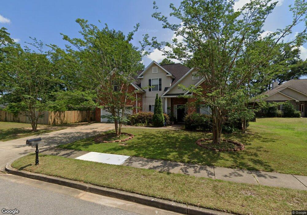
9027 Solstice Way Mobile, AL 36695
Warwick NeighborhoodEstimated Value: $305,018 - $386,000
4
Beds
3
Baths
2,684
Sq Ft
$131/Sq Ft
Est. Value
About This Home
This home is located at 9027 Solstice Way, Mobile, AL 36695 and is currently estimated at $352,755, approximately $131 per square foot. 9027 Solstice Way is a home located in Mobile County with nearby schools including Hutchens Elementary School, Dawes Intermediate School, and Bernice J Causey Middle School.
Ownership History
Date
Name
Owned For
Owner Type
Purchase Details
Closed on
Nov 10, 2008
Sold by
The Mitchell Company Inc
Bought by
Powe Robert E and Powe Lavern
Current Estimated Value
Home Financials for this Owner
Home Financials are based on the most recent Mortgage that was taken out on this home.
Original Mortgage
$275,793
Outstanding Balance
$177,056
Interest Rate
5.89%
Mortgage Type
FHA
Estimated Equity
$175,699
Create a Home Valuation Report for This Property
The Home Valuation Report is an in-depth analysis detailing your home's value as well as a comparison with similar homes in the area
Home Values in the Area
Average Home Value in this Area
Purchase History
| Date | Buyer | Sale Price | Title Company |
|---|---|---|---|
| Powe Robert E | $285,000 | Slt |
Source: Public Records
Mortgage History
| Date | Status | Borrower | Loan Amount |
|---|---|---|---|
| Open | Powe Robert E | $275,793 |
Source: Public Records
Tax History
| Year | Tax Paid | Tax Assessment Tax Assessment Total Assessment is a certain percentage of the fair market value that is determined by local assessors to be the total taxable value of land and additions on the property. | Land | Improvement |
|---|---|---|---|---|
| 2025 | $1,363 | $29,270 | $3,500 | $25,770 |
| 2024 | $1,363 | $27,800 | $2,500 | $25,300 |
| 2023 | $1,047 | $22,960 | $3,000 | $19,960 |
| 2022 | $1,058 | $23,200 | $3,000 | $20,200 |
| 2021 | $1,081 | $23,680 | $3,000 | $20,680 |
| 2020 | $1,093 | $23,920 | $3,000 | $20,920 |
| 2019 | $1,061 | $23,260 | $0 | $0 |
| 2018 | $1,072 | $23,480 | $0 | $0 |
| 2017 | $1,158 | $25,260 | $0 | $0 |
| 2016 | $1,169 | $25,480 | $0 | $0 |
| 2013 | $1,141 | $24,680 | $0 | $0 |
Source: Public Records
Map
Nearby Homes
- 7648 Anglebrook Rd N
- 7644 Anglebrook Rd N
- 7618 Anglebrook Rd S
- 7640 Anglebrook Rd N
- 7607 Anglebrook Rd S
- 7652 Anglebrook Rd N
- 7611 Anglebrook Rd S
- 2165 Spring Grove E
- 9002 Amelia Dr
- 2225 Livingstone Ct
- 8700 Irongate Way
- 2070 Autumn Leaf Dr W
- 8690 W Anvil Ct
- 2360 Capital Dr
- 1700 Gwin Ct
- 2261 Vulcan Ct
- 8521 Desert Oak Ct
- 1897 Burnham Ct
- 8601 Cottage Hill Rd
- 2155 Brittany Dr
- 9035 Solstice Way
- 2170 Spring Grove Ct
- 2175 Graceland Ct
- 2160 Spring Grove W
- 2176 Spring Grove W
- 2182 Spring Grove W
- 2188 Spring Grove W
- 2188 Spring Grove Ct
- 2146 Spring Grove W
- 2180 Graceland Ct
- 2166 Graceland Ct
- 2200 Spring Grove W
- 2161 Graceland Ct
- 2134 Spring Grove W
- 2204 Spring Grove W
- 2122 Spring Grove W
- 2173 Spring Grove W
- 2161 Spring Grove W Unit 2
- 2187 Spring Grove W
- 2110 Spring Grove W
Your Personal Tour Guide
Ask me questions while you tour the home.