9029 Old State Rd Unit STATE Fairgrove, MI 48733
Estimated Value: $65,000 - $128,000
2
Beds
1
Bath
876
Sq Ft
$108/Sq Ft
Est. Value
About This Home
This home is located at 9029 Old State Rd Unit STATE, Fairgrove, MI 48733 and is currently estimated at $94,867, approximately $108 per square foot. 9029 Old State Rd Unit STATE is a home located in Tuscola County with nearby schools including Akron-Fairgrove Elementary School and Akron-Fairgrove Junior/Senior High School.
Ownership History
Date
Name
Owned For
Owner Type
Purchase Details
Closed on
Oct 15, 2019
Sold by
Graf David L
Bought by
Graf Emily A
Current Estimated Value
Purchase Details
Closed on
Aug 30, 2019
Sold by
Macfarlane Judith L
Bought by
Graf David L
Purchase Details
Closed on
Oct 28, 2010
Sold by
Donovan Shaun
Bought by
Macfarlane Judith L
Purchase Details
Closed on
Jun 29, 2010
Sold by
Wells Fargo Bank Na
Bought by
The Secretary Of Hud
Purchase Details
Closed on
Mar 18, 2010
Sold by
Christian Richard
Bought by
Wells Fargo Bank Na
Purchase Details
Closed on
Apr 13, 2006
Sold by
Finn Frederick Wm and Finn James Michael
Bought by
Christian Richard
Home Financials for this Owner
Home Financials are based on the most recent Mortgage that was taken out on this home.
Original Mortgage
$60,273
Interest Rate
6.42%
Mortgage Type
FHA
Create a Home Valuation Report for This Property
The Home Valuation Report is an in-depth analysis detailing your home's value as well as a comparison with similar homes in the area
Home Values in the Area
Average Home Value in this Area
Purchase History
| Date | Buyer | Sale Price | Title Company |
|---|---|---|---|
| Graf Emily A | -- | -- | |
| Graf David L | $29,000 | -- | |
| Macfarlane Judith L | $18,000 | None Available | |
| The Secretary Of Hud | -- | None Available | |
| Wells Fargo Bank Na | $67,492 | None Available | |
| Christian Richard | $60,750 | None Available |
Source: Public Records
Mortgage History
| Date | Status | Borrower | Loan Amount |
|---|---|---|---|
| Previous Owner | Christian Richard | $60,273 |
Source: Public Records
Tax History Compared to Growth
Tax History
| Year | Tax Paid | Tax Assessment Tax Assessment Total Assessment is a certain percentage of the fair market value that is determined by local assessors to be the total taxable value of land and additions on the property. | Land | Improvement |
|---|---|---|---|---|
| 2025 | $623 | $34,900 | $0 | $0 |
| 2024 | $623 | $31,000 | $0 | $0 |
| 2023 | $1,241 | $29,300 | $0 | $0 |
| 2022 | $1,213 | $25,400 | $0 | $0 |
| 2021 | $1,168 | $22,800 | $0 | $0 |
| 2020 | $1,168 | $20,200 | $0 | $0 |
| 2019 | $1,310 | $20,900 | $0 | $0 |
| 2018 | $1,272 | $20,800 | $0 | $0 |
| 2017 | $1,267 | $18,800 | $0 | $0 |
| 2016 | $1,281 | $17,700 | $0 | $0 |
| 2015 | $8 | $16,100 | $0 | $0 |
| 2014 | $8 | $14,900 | $0 | $0 |
| 2013 | $8 | $13,800 | $0 | $0 |
Source: Public Records
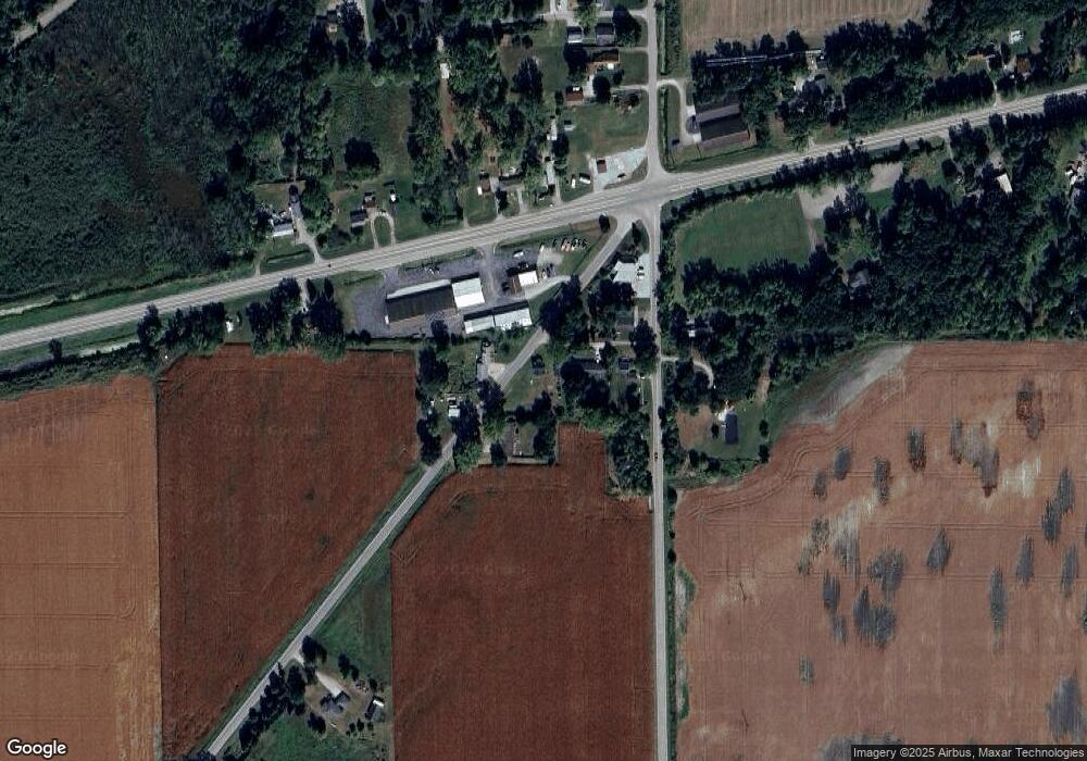
Map
Nearby Homes
- 3177 N Van Buren Rd
- 955 Knodt Rd
- 1026 N Farley Rd
- 799 Knodt Rd
- 4251 Kirk Rd
- 2643 N Kirk Rd
- 0 W Borton Rd
- 0 W Hampton Rd
- 5627 Fairgrove Rd
- 80 Burns Rd
- 7980 W Gilford Rd
- 75 S Bradleyville Rd
- 6867 Debralyn Dr
- 568 W Center Rd
- VL Madajski Rd
- 0 W German Rd
- 663 W Borton Rd
- 5060 Armstrong Ave
- 4284 North St
- 3685 Main St
- 9029 Old State Rd
- 4115 Quanicassee Rd
- 9034 Old State Rd
- 9051 Old State Rd
- 9048 Old State Rd
- 4111 Quanicassee Rd
- 4106 Quanicassee Rd
- 9034 M 25
- 9034 Bay City Forestville Rd
- 9024 Bay City Forestville Rd
- 9048 Bay City Forestville Rd
- 4124 Quanicassee Rd
- 9006 Bay City Forestville Rd
- 9074 Michigan 25
- 9094 Bay City Forestville Rd
- 4187 Quanicassee Rd
- 8963 Bay City Forestville Rd
- 4191 Quanicassee Rd
- 8968 Bay City Forestville Rd
- 8968 Michigan 25