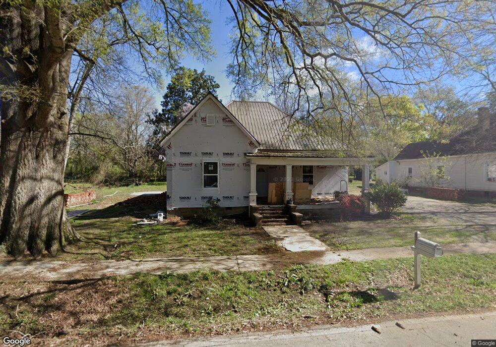
903 Carlton Ave Union Point, GA 30669
Estimated Value: $146,527 - $204,000
3
Beds
1
Bath
1,450
Sq Ft
$124/Sq Ft
Est. Value
About This Home
This home is located at 903 Carlton Ave, Union Point, GA 30669 and is currently estimated at $179,632, approximately $123 per square foot. 903 Carlton Ave is a home located in Greene County with nearby schools including Greene County High School.
Ownership History
Date
Name
Owned For
Owner Type
Purchase Details
Closed on
Nov 18, 2024
Sold by
Gibson George A & Lola A Living Trust
Bought by
Villela Medina Miguel Angel
Current Estimated Value
Purchase Details
Closed on
Nov 15, 2012
Sold by
Gibson George A
Bought by
George A Lola A and George Gibson L
Purchase Details
Closed on
Mar 24, 1997
Sold by
Kent Alan S
Bought by
Gibson George A and Gibson Lola A
Purchase Details
Closed on
Jan 30, 1997
Sold by
Newsome John
Bought by
Kent Alan S
Purchase Details
Closed on
Jan 1, 1971
Sold by
Brake Ruby Newsome
Bought by
Newsome John
Purchase Details
Closed on
Jan 1, 1950
Bought by
Brake Ruby Newsome
Create a Home Valuation Report for This Property
The Home Valuation Report is an in-depth analysis detailing your home's value as well as a comparison with similar homes in the area
Home Values in the Area
Average Home Value in this Area
Purchase History
| Date | Buyer | Sale Price | Title Company |
|---|---|---|---|
| Villela Medina Miguel Angel | -- | -- | |
| George A Lola A | -- | -- | |
| Gibson George A | $20,000 | -- | |
| Kent Alan S | -- | -- | |
| Newsome John | -- | -- | |
| Brake Ruby Newsome | -- | -- |
Source: Public Records
Tax History Compared to Growth
Tax History
| Year | Tax Paid | Tax Assessment Tax Assessment Total Assessment is a certain percentage of the fair market value that is determined by local assessors to be the total taxable value of land and additions on the property. | Land | Improvement |
|---|---|---|---|---|
| 2025 | $1,407 | $53,440 | $2,720 | $50,720 |
| 2024 | $1,325 | $49,720 | $2,720 | $47,000 |
| 2023 | $955 | $47,760 | $2,720 | $45,040 |
| 2022 | $905 | $42,960 | $2,720 | $40,240 |
| 2021 | $866 | $38,440 | $2,720 | $35,720 |
| 2020 | $384 | $10,840 | $2,680 | $8,160 |
| 2019 | $393 | $10,840 | $2,680 | $8,160 |
| 2018 | $254 | $10,840 | $2,680 | $8,160 |
| 2017 | $352 | $10,874 | $2,700 | $8,174 |
| 2016 | $363 | $11,245 | $2,700 | $8,545 |
| 2015 | $333 | $11,244 | $2,700 | $8,545 |
| 2014 | $330 | $10,782 | $2,700 | $8,082 |
Source: Public Records
Map
Nearby Homes
- 215 Hunter St
- 0 S Rhodes St Unit 10618488
- 324 N Rhodes St
- 0 Washington Hwy Unit 7276060
- 202 Veazey St
- 0 Woodland Ct Unit 10543600
- 1241 Old Siloam Rd
- 112 Hendry St
- 1041 Hillcrest Dr
- 1860 Washington Hwy
- 1581 Highway 77 S Hwy
- 1581 Highway 77 S
- 5401 Union Point Hwy
- 1201 Buffalo Lick Rd
- 0 Buffalo Lick Rd Unit 10551234
- 0 Buffalo Lick Rd Unit 10551325
- 1251 Adams Rd
- 0 Old Union Point Rd Unit 1 10557753
- 1251 Brick House Rd
- 1251 Brickhouse Rd
- 901 Carlton Ave
- 905 Carlton Ave
- 807 Carlton Ave
- 907 Carlton Ave
- 110 Barnes St
- 4661 Georgia 44
- 902 Dolvin Ave
- 900 Dolvin Ave
- 810 Dolvin Ave
- 908 Dolvin Ave
- 102 Hunter St
- 1130 Highway 77 N
- 806 Dolvin Ave
- 805 Carlton Ave
- 1120 Highway 77 N
- 111 Hunter St
- 108 Hunter St
- 901 Dolvin Ave
- 804 Dolvin Ave
- 803 Carlton Ave