903 Duncan Rd Unit O Commerce, GA 30530
Estimated Value: $428,000 - $510,000
4
Beds
3
Baths
4,480
Sq Ft
$107/Sq Ft
Est. Value
About This Home
This home is located at 903 Duncan Rd Unit O, Commerce, GA 30530 and is currently estimated at $478,333, approximately $106 per square foot. 903 Duncan Rd Unit O is a home located in Banks County with nearby schools including Banks County Primary School, Banks County Elementary School, and Banks County Middle School.
Ownership History
Date
Name
Owned For
Owner Type
Purchase Details
Closed on
May 30, 2023
Sold by
Bradley John A
Bought by
Munteanu Daniel and Munteanu Aliona
Current Estimated Value
Home Financials for this Owner
Home Financials are based on the most recent Mortgage that was taken out on this home.
Original Mortgage
$427,500
Outstanding Balance
$415,155
Interest Rate
6.39%
Mortgage Type
New Conventional
Estimated Equity
$63,178
Purchase Details
Closed on
Mar 31, 2021
Sold by
Bradley John A
Bought by
Bradley John A and Bradley John A
Create a Home Valuation Report for This Property
The Home Valuation Report is an in-depth analysis detailing your home's value as well as a comparison with similar homes in the area
Home Values in the Area
Average Home Value in this Area
Purchase History
| Date | Buyer | Sale Price | Title Company |
|---|---|---|---|
| Munteanu Daniel | $450,000 | -- | |
| Bradley John A | -- | -- |
Source: Public Records
Mortgage History
| Date | Status | Borrower | Loan Amount |
|---|---|---|---|
| Open | Munteanu Daniel | $427,500 |
Source: Public Records
Tax History
| Year | Tax Paid | Tax Assessment Tax Assessment Total Assessment is a certain percentage of the fair market value that is determined by local assessors to be the total taxable value of land and additions on the property. | Land | Improvement |
|---|---|---|---|---|
| 2025 | $3,404 | $203,913 | $41,530 | $162,383 |
| 2024 | $3,404 | $195,207 | $37,755 | $157,452 |
| 2023 | $3,603 | $171,459 | $35,078 | $136,381 |
| 2022 | $2,708 | $128,859 | $25,348 | $103,511 |
| 2021 | $2,554 | $114,324 | $19,370 | $94,954 |
| 2020 | $2,408 | $105,032 | $14,682 | $90,350 |
| 2019 | $2,420 | $105,032 | $14,682 | $90,350 |
| 2018 | $2,300 | $98,189 | $14,682 | $83,507 |
| 2017 | $2,091 | $87,594 | $11,048 | $76,546 |
| 2016 | $2,151 | $87,594 | $11,048 | $76,546 |
| 2015 | $2,085 | $105,997 | $18,594 | $87,403 |
| 2014 | $2,085 | $115,431 | $28,028 | $87,403 |
| 2013 | -- | $115,430 | $28,028 | $87,402 |
Source: Public Records
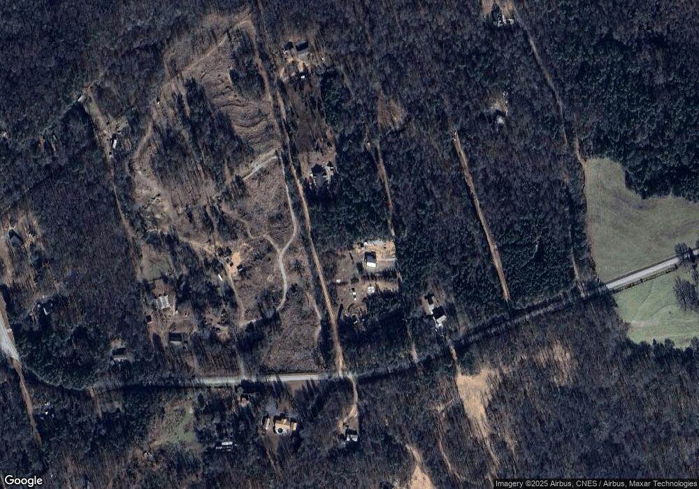
Map
Nearby Homes
- 163 M t Trail
- 224 Hebron Rd
- 166 Freedom Ln
- 0 Freedom Ln Unit 9B
- 0 Freedom Ln Unit 18C 10380663
- 0 Freedom Ln Unit 9D
- 0 Freedom Ln Unit 9C
- 0 Freedom Ln Unit 18B 10379747
- 0 Freedom Ln Unit 9E
- 731 Borders Rd
- 161 Meadow Lake Dr
- 193 Wrights Mill Ln
- 3381 Georgia 326
- 0 Lord Road Tract #5 Unit 10693839
- 0 Lord Road Tract #5 Unit CL349237
- 21 Jess Ln
- 7527 Highway 326
- 1020 Riverbend Rd
- 482 Hooper Rd
- 775 Riverbend Rd
- 903 Duncan Rd
- 901 & 903 Duncan
- 915 Duncan Rd
- 901 Duncan Rd
- 901 Duncan Rd
- 803 Duncan Rd
- 905 Duncan Rd
- 907 Duncan Rd
- 113 Sweetgum Ln
- 902 Duncan Rd
- 843 Duncan Rd
- 840 Duncan Rd
- 711 Highway 63
- 779 Duncan Rd
- 757 Duncan Rd
- 846 Duncan Rd
- 1689 Sims Bridge Rd
- 1715 Sims Bridge Rd
- 1649 Sims Bridge Rd
- 732 Duncan Rd
Your Personal Tour Guide
Ask me questions while you tour the home.