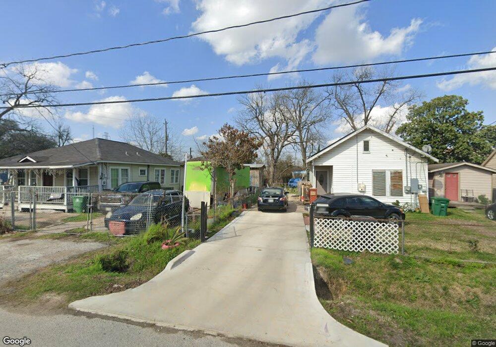
903 Lindale St Houston, TX 77022
Northside-Northline NeighborhoodEstimated Value: $176,110 - $312,000
3
Beds
1
Bath
988
Sq Ft
$259/Sq Ft
Est. Value
About This Home
This home is located at 903 Lindale St, Houston, TX 77022 and is currently estimated at $255,528, approximately $258 per square foot. 903 Lindale St is a home located in Harris County with nearby schools including Roosevelt Elementary School, Burbank Middle School, and Northside High School.
Ownership History
Date
Name
Owned For
Owner Type
Purchase Details
Closed on
Mar 3, 2025
Sold by
Degomez Maria De La Paz Flores and Degomez Maria De
Bought by
Gomez Richard Miguel
Current Estimated Value
Home Financials for this Owner
Home Financials are based on the most recent Mortgage that was taken out on this home.
Original Mortgage
$139,000
Outstanding Balance
$136,135
Interest Rate
6.16%
Mortgage Type
New Conventional
Estimated Equity
$119,393
Purchase Details
Closed on
Sep 16, 2009
Sold by
Gonzalez Manuel
Bought by
Gomez Maria De La Paz
Purchase Details
Closed on
Oct 16, 1987
Sold by
Foundation For Life
Bought by
Weber Joseph Paul and Weber Betty A
Create a Home Valuation Report for This Property
The Home Valuation Report is an in-depth analysis detailing your home's value as well as a comparison with similar homes in the area
Home Values in the Area
Average Home Value in this Area
Purchase History
| Date | Buyer | Sale Price | Title Company |
|---|---|---|---|
| Gomez Richard Miguel | -- | Old Republic Title | |
| Gomez Maria De La Paz | -- | None Available | |
| Weber Joseph Paul | -- | Title Agency #91 |
Source: Public Records
Mortgage History
| Date | Status | Borrower | Loan Amount |
|---|---|---|---|
| Open | Gomez Richard Miguel | $139,000 |
Source: Public Records
Tax History Compared to Growth
Tax History
| Year | Tax Paid | Tax Assessment Tax Assessment Total Assessment is a certain percentage of the fair market value that is determined by local assessors to be the total taxable value of land and additions on the property. | Land | Improvement |
|---|---|---|---|---|
| 2025 | $2,700 | $186,130 | $120,000 | $66,130 |
| 2024 | $2,700 | $155,005 | $60,000 | $95,005 |
| 2023 | $2,700 | $155,005 | $60,000 | $95,005 |
| 2022 | $2,683 | $129,946 | $60,000 | $69,946 |
| 2021 | $2,581 | $110,755 | $60,000 | $50,755 |
| 2020 | $2,439 | $110,755 | $60,000 | $50,755 |
| 2019 | $2,317 | $110,755 | $60,000 | $50,755 |
| 2018 | $321 | $95,609 | $60,000 | $35,609 |
| 2017 | $1,913 | $95,609 | $60,000 | $35,609 |
| 2016 | $1,739 | $95,609 | $60,000 | $35,609 |
| 2015 | $996 | $68,409 | $31,500 | $36,909 |
| 2014 | $996 | $56,853 | $31,500 | $25,353 |
Source: Public Records
Map
Nearby Homes
- 6515 Lloyd St
- 613 Melbourne St
- 6505 Frisco St
- 6501 Frisco St
- 702 Caplin St
- 931 Bennington St
- 522 Caplin St
- 809 Dorchester St
- 513 Reid St
- 906 Eleanor St
- 605 Kelley St
- 408 Frisco St
- 614 Eleanor St
- 0 Avenue of Oaks St
- 616 Eleanor St
- 5705 Cochran St
- 516 Eleanor St
- 1009 Wainwright St
- 319 Melbourne St
- 5709 Gano St