903 N Fm 730 Decatur, TX 76234
Estimated Value: $1,734,784
--
Bed
3
Baths
3,530
Sq Ft
$491/Sq Ft
Est. Value
About This Home
This home is located at 903 N Fm 730, Decatur, TX 76234 and is currently priced at $1,734,784, approximately $491 per square foot. 903 N Fm 730 is a home located in Wise County with nearby schools including Decatur High School and Victory Christian Academy.
Ownership History
Date
Name
Owned For
Owner Type
Purchase Details
Closed on
Jan 20, 2016
Sold by
Elmore Rodney
Bought by
Wyatt Dustin Ray
Current Estimated Value
Home Financials for this Owner
Home Financials are based on the most recent Mortgage that was taken out on this home.
Original Mortgage
$269,418
Outstanding Balance
$214,414
Interest Rate
3.98%
Mortgage Type
Purchase Money Mortgage
Purchase Details
Closed on
Dec 21, 2012
Sold by
Elmore Rodney and Wyatt Dustin
Bought by
Elmore Rodney Life Estate
Purchase Details
Closed on
Jul 23, 2003
Sold by
Elmore Eva K
Bought by
Elmore Rodney Life Estate
Create a Home Valuation Report for This Property
The Home Valuation Report is an in-depth analysis detailing your home's value as well as a comparison with similar homes in the area
Home Values in the Area
Average Home Value in this Area
Purchase History
| Date | Buyer | Sale Price | Title Company |
|---|---|---|---|
| Wyatt Dustin Ray | -- | Guaradian Title Co | |
| Elmore Rodney Life Estate | -- | -- | |
| Elmore Rodney Life Estate | -- | -- |
Source: Public Records
Mortgage History
| Date | Status | Borrower | Loan Amount |
|---|---|---|---|
| Open | Wyatt Dustin Ray | $269,418 |
Source: Public Records
Tax History Compared to Growth
Tax History
| Year | Tax Paid | Tax Assessment Tax Assessment Total Assessment is a certain percentage of the fair market value that is determined by local assessors to be the total taxable value of land and additions on the property. | Land | Improvement |
|---|---|---|---|---|
| 2025 | $3,209 | $603,668 | $38,310 | $565,358 |
| 2024 | $3,209 | $593,019 | $0 | $0 |
| 2023 | $6,987 | $2,290,141 | $0 | $0 |
| 2022 | $7,978 | $1,728,950 | $0 | $0 |
| 2021 | $6,444 | $1,610,340 | $1,237,040 | $373,300 |
| 2020 | $6,189 | $1,520,990 | $1,164,820 | $356,170 |
| 2019 | $6,352 | $1,516,040 | $1,164,820 | $351,220 |
| 2018 | $6,100 | $1,367,700 | $1,019,720 | $347,980 |
| 2017 | $5,681 | $1,164,560 | $837,840 | $326,720 |
| 2016 | $5,305 | $1,056,300 | $764,960 | $291,340 |
| 2015 | -- | $997,800 | $725,120 | $272,680 |
| 2014 | -- | $275,010 | $10,000 | $265,010 |
Source: Public Records
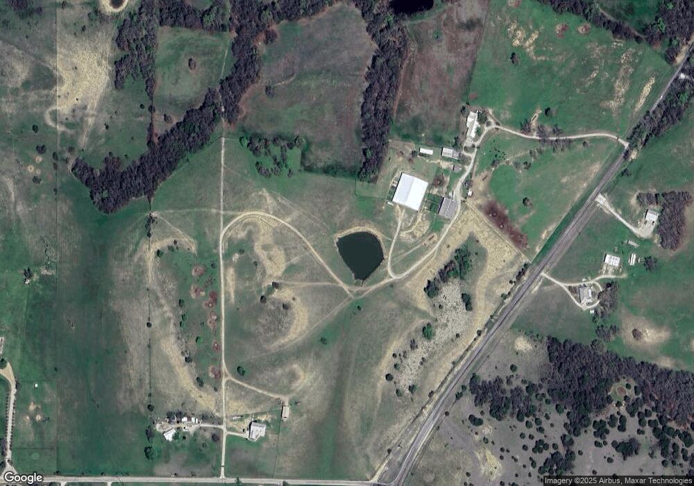
Map
Nearby Homes
- 2270 County Road 2360
- 114 Cemetery Rd
- 362 Decatur Cemetery Rd
- 175 Quail Ridge Ct
- Lot 12 Cedar Springs Estates
- 165 Quail Ridge Ct
- 2296 Old Decatur Rd
- 188 Private Road 2356
- 835 County Road 2175
- 918 Old Decatur Rd
- 3092 N Trinity St
- 1952 Old Decatur Rd
- 2811 N Trinity St
- 205 Private Road 2202 Unit 2194
- 135 Private Road 2202
- 2721 Old Decatur Rd
- 150 Private Road 2202
- 136 Private Road 2202
- 166 Private Road 2202
- 279 Private Road 2202
- 903 N Fm 730
- 848 N Fm 730
- 848 N Fm 730
- 2828 County Road 2360
- 2828 County Road 2360
- 204 Double Duty Dr Unit 730N
- 204 Double Duty Dr
- 02 County Road 2175
- 2506 County Road 2360
- 1502 County Road 2175
- Tract 3 County Road 2175
- 01 County Road 2175
- 137 County Road 2175
- 137 County Road 2175
- 167 County Road 2937 Unit 2313
- 195 County Road 2175
- 2398 County Road 2360
- 2398 County Road 2360
- 2398 County Road 2360
- 2398 County Road 2360