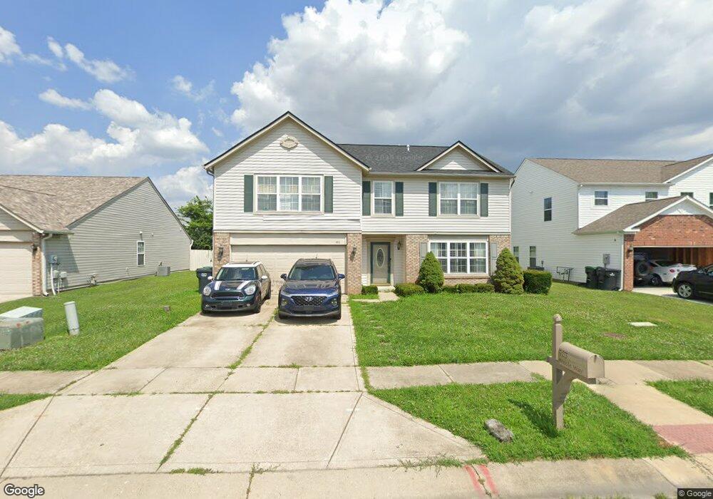
903 Nicole Way Whiteland, IN 46184
Estimated Value: $320,509 - $343,000
4
Beds
3
Baths
2,881
Sq Ft
$116/Sq Ft
Est. Value
About This Home
This home is located at 903 Nicole Way, Whiteland, IN 46184 and is currently estimated at $333,127, approximately $115 per square foot. 903 Nicole Way is a home located in Johnson County with nearby schools including Break-O-Day Elementary School, Clark-Pleasant Middle School, and Whiteland Community High School.
Ownership History
Date
Name
Owned For
Owner Type
Purchase Details
Closed on
Oct 29, 2011
Sold by
Brothers Eugene T and Brothers Priscilla
Bought by
King Michael R
Current Estimated Value
Home Financials for this Owner
Home Financials are based on the most recent Mortgage that was taken out on this home.
Original Mortgage
$134,100
Outstanding Balance
$91,443
Interest Rate
4.02%
Estimated Equity
$241,684
Create a Home Valuation Report for This Property
The Home Valuation Report is an in-depth analysis detailing your home's value as well as a comparison with similar homes in the area
Home Values in the Area
Average Home Value in this Area
Purchase History
| Date | Buyer | Sale Price | Title Company |
|---|---|---|---|
| King Michael R | -- | Chicago Title Company Llc |
Source: Public Records
Mortgage History
| Date | Status | Borrower | Loan Amount |
|---|---|---|---|
| Open | King Michael R | $134,100 |
Source: Public Records
Tax History Compared to Growth
Tax History
| Year | Tax Paid | Tax Assessment Tax Assessment Total Assessment is a certain percentage of the fair market value that is determined by local assessors to be the total taxable value of land and additions on the property. | Land | Improvement |
|---|---|---|---|---|
| 2025 | $2,623 | $295,400 | $56,000 | $239,400 |
| 2024 | $2,623 | $284,800 | $56,000 | $228,800 |
| 2023 | $2,856 | $273,400 | $56,000 | $217,400 |
| 2022 | $2,433 | $234,500 | $29,900 | $204,600 |
| 2021 | $2,097 | $201,700 | $29,900 | $171,800 |
| 2020 | $1,863 | $178,500 | $29,900 | $148,600 |
| 2019 | $1,730 | $166,000 | $29,900 | $136,100 |
| 2018 | $1,649 | $163,500 | $18,800 | $144,700 |
| 2017 | $1,589 | $157,000 | $18,800 | $138,200 |
| 2016 | $1,555 | $154,500 | $18,800 | $135,700 |
| 2014 | $1,589 | $157,300 | $23,000 | $134,300 |
| 2013 | $1,589 | $158,500 | $23,000 | $135,500 |
Source: Public Records
Map
Nearby Homes
- 106 Tracy Ridge Blvd
- 1119 Chateaugay Ct
- 731 W 600 N
- 12 Rypma Row
- 143 Tracy Ridge Blvd
- 190 Tracy Ridge Blvd
- 821 Princeton Dr
- 647 Bluestem Cir
- 256 Bittersweet Dr
- 250 Southlane Dr
- Liberty Plan at Crossroads at Southport
- 7331 Deerberg Dr
- Jefferson Plan at Crossroads at Southport
- 7338 Deerberg Dr
- Rushmore Plan at Crossroads at Southport
- Lincoln Plan at Crossroads at Southport
- Washington Plan at Crossroads at Southport
- 76 Fernleaf Dr
- 346 Switchgrass Ln
- 0 E 700 N Unit MBR22036500