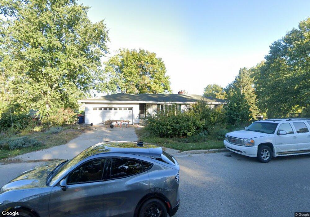
903 Paw Paw Dr Holland, MI 49423
Holland Heights NeighborhoodEstimated Value: $272,000 - $333,000
3
Beds
2
Baths
1,226
Sq Ft
$256/Sq Ft
Est. Value
About This Home
This home is located at 903 Paw Paw Dr, Holland, MI 49423 and is currently estimated at $314,403, approximately $256 per square foot. 903 Paw Paw Dr is a home located in Ottawa County with nearby schools including Holland Heights Elementary, Maplewood, and Holland High School.
Ownership History
Date
Name
Owned For
Owner Type
Purchase Details
Closed on
Jan 23, 2020
Sold by
Huyser Timothy
Bought by
Wick Casey and Wick Brittany
Current Estimated Value
Home Financials for this Owner
Home Financials are based on the most recent Mortgage that was taken out on this home.
Original Mortgage
$133,920
Outstanding Balance
$118,619
Interest Rate
3.73%
Mortgage Type
New Conventional
Estimated Equity
$195,784
Purchase Details
Closed on
May 9, 2019
Sold by
Spikes Bonnie Jean
Bought by
Huyser Timothy
Create a Home Valuation Report for This Property
The Home Valuation Report is an in-depth analysis detailing your home's value as well as a comparison with similar homes in the area
Home Values in the Area
Average Home Value in this Area
Purchase History
| Date | Buyer | Sale Price | Title Company |
|---|---|---|---|
| Wick Casey | $167,400 | Chicago Title Of Mi Inc | |
| Huyser Timothy | $149,000 | Chicago Title Of Mi Inc |
Source: Public Records
Mortgage History
| Date | Status | Borrower | Loan Amount |
|---|---|---|---|
| Open | Wick Casey | $133,920 |
Source: Public Records
Tax History Compared to Growth
Tax History
| Year | Tax Paid | Tax Assessment Tax Assessment Total Assessment is a certain percentage of the fair market value that is determined by local assessors to be the total taxable value of land and additions on the property. | Land | Improvement |
|---|---|---|---|---|
| 2025 | $4,408 | $134,300 | $0 | $0 |
| 2024 | $4,252 | $120,000 | $0 | $0 |
| 2023 | $4,102 | $98,900 | $0 | $0 |
| 2022 | $4,006 | $96,400 | $0 | $0 |
| 2021 | $4,078 | $93,800 | $0 | $0 |
| 2020 | $3,558 | $84,200 | $0 | $0 |
| 2019 | $2,461 | $74,100 | $0 | $0 |
| 2018 | $2,317 | $64,800 | $0 | $0 |
| 2017 | $2,245 | $64,800 | $0 | $0 |
| 2016 | $2,245 | $63,700 | $0 | $0 |
| 2015 | $2,175 | $60,000 | $0 | $0 |
| 2014 | $2,175 | $56,700 | $0 | $0 |
Source: Public Records
Map
Nearby Homes
- 1078 Lynden Rd
- 1101 Lynden Rd
- VL-0 120th Ave
- 239 S Waverly Rd
- VL 120th Ave
- 1214 Euna Vista Dr
- 403 Stratford Way
- 160 Sorrento Dr
- 499 E 8th St
- 1391 Quarterline Commons
- 442 120th Ave
- 866 E 24th St Unit Parcel A
- 551 Century Ln
- 541 Century Ln
- 561 Century Ln
- 0 N V L 120th
- 12274 James St
- 1568 Stockington Path
- 955 Kenwood Dr
- 271 E 16th St
- 913 Paw Paw Dr
- 913 Paw Dr
- 883 Paw Paw Dr
- 917 Paw Paw Dr
- 898 Paw Paw Dr
- 93 Cambridge Ave
- 890 Paw Paw Dr
- 890 Paw Dr
- 925 Paw Paw Dr
- 918 Paw Paw Dr
- 925 Paw Paw Dr
- 918 Paw Paw Dr
- 99 Cambridge Ave
- 112 Cambridge Ave
- 880 Paw Paw Dr
- 105 Cambridge Ave
- 118 Cambridge Ave
- 880 Paw Dr
- 111 Cambridge Ave
- 867 Paw Paw Dr