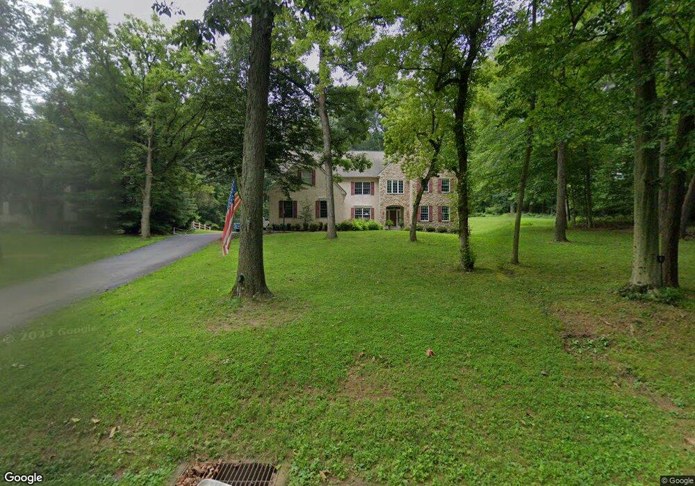
903 Paxson Dr West Chester, PA 19382
Estimated Value: $893,000 - $1,587,000
5
Beds
5
Baths
4,420
Sq Ft
$265/Sq Ft
Est. Value
About This Home
This home is located at 903 Paxson Dr, West Chester, PA 19382 and is currently estimated at $1,171,459, approximately $265 per square foot. 903 Paxson Dr is a home located in Chester County with nearby schools including Hillsdale Elementary School, E.N. Peirce Middle School, and Henderson High School.
Ownership History
Date
Name
Owned For
Owner Type
Purchase Details
Closed on
Aug 30, 2019
Sold by
Hagan Karen Squire and Hagan Robert T
Bought by
Davis Glenn M and Davis Caroline Capetola
Current Estimated Value
Home Financials for this Owner
Home Financials are based on the most recent Mortgage that was taken out on this home.
Original Mortgage
$484,350
Outstanding Balance
$425,120
Interest Rate
3.7%
Mortgage Type
New Conventional
Estimated Equity
$746,339
Create a Home Valuation Report for This Property
The Home Valuation Report is an in-depth analysis detailing your home's value as well as a comparison with similar homes in the area
Home Values in the Area
Average Home Value in this Area
Purchase History
| Date | Buyer | Sale Price | Title Company |
|---|---|---|---|
| Davis Glenn M | $550,000 | None Available |
Source: Public Records
Mortgage History
| Date | Status | Borrower | Loan Amount |
|---|---|---|---|
| Open | Davis Glenn M | $484,350 |
Source: Public Records
Tax History Compared to Growth
Tax History
| Year | Tax Paid | Tax Assessment Tax Assessment Total Assessment is a certain percentage of the fair market value that is determined by local assessors to be the total taxable value of land and additions on the property. | Land | Improvement |
|---|---|---|---|---|
| 2025 | $11,675 | $402,770 | $52,150 | $350,620 |
| 2024 | $11,675 | $402,770 | $52,150 | $350,620 |
| 2023 | $11,575 | $402,770 | $52,150 | $350,620 |
| 2022 | $11,423 | $402,770 | $52,150 | $350,620 |
| 2021 | $11,162 | $402,770 | $52,150 | $350,620 |
| 2020 | $11,089 | $402,770 | $52,150 | $350,620 |
| 2019 | $3,347 | $402,770 | $52,150 | $350,620 |
| 2018 | $10,493 | $402,770 | $52,150 | $350,620 |
| 2017 | $10,257 | $402,770 | $52,150 | $350,620 |
| 2016 | $8,881 | $402,770 | $52,150 | $350,620 |
| 2015 | $8,881 | $402,770 | $52,150 | $350,620 |
| 2014 | $8,881 | $402,770 | $52,150 | $350,620 |
Source: Public Records
Map
Nearby Homes
- 203 Barn Hill Rd
- 414 Birmingham Rd
- 410 Allegiance Dr
- 861 Hillsdale Rd
- 255 Blue Rock Rd
- 216 Yorkminster Rd Unit 1502
- 164 Mansion House Dr Unit 401A
- 759 Brettingham Ct Unit 505C
- 1033 Lenape Rd
- 974 Regimental Dr
- Lot 10 Carolannes Way
- 289 Dressage Ct
- 724 W Nields St
- 741 Shropshire Dr
- 722 Scotch Way Unit C-26
- 1202 Turks Head Ln
- 1156 Mews Ln Unit 33
- 1107 Mews Ln Unit 7
- 765 Bradford Terrace Unit 238
- 616 W Chestnut St
- 905 Paxson Dr
- 901 Paxson Dr
- 902 Paxson Dr
- 907 Paxson Dr
- 940 W Miner St
- 904 Paxson Dr
- 125 Birmingham Rd
- 938 W Miner St
- 936 W Miner St
- 110 Birmingham Rd
- 98 Birmingham Rd
- 965 W Miner St
- 967 W Miner St
- 955 Cloud Ln
- 972 Wind Song Rd
- 934 W Miner St
- 140 Birmingham Rd
- 959 Cloud Ln
- 969 W Miner St
- 957 Cloud Ln