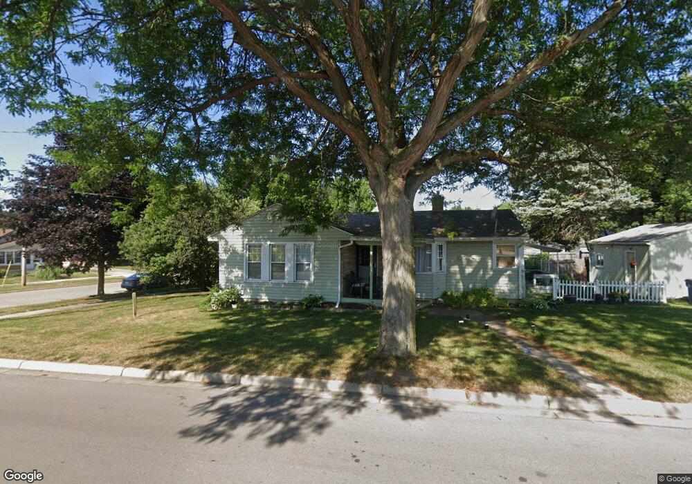
903 Powers Ave NW Grand Rapids, MI 49504
West Grand NeighborhoodEstimated Value: $227,000 - $251,000
2
Beds
1
Bath
925
Sq Ft
$258/Sq Ft
Est. Value
About This Home
This home is located at 903 Powers Ave NW, Grand Rapids, MI 49504 and is currently estimated at $238,572, approximately $257 per square foot. 903 Powers Ave NW is a home located in Kent County with nearby schools including Harrison Elementary School, Westwood Middle School, and Union High School.
Ownership History
Date
Name
Owned For
Owner Type
Purchase Details
Closed on
Mar 30, 1999
Sold by
Pruis Pruis J J and Pruis K
Bought by
Schatner David P
Current Estimated Value
Purchase Details
Closed on
Sep 25, 1998
Sold by
Pruis Pruis K K and Pruis Schatner D
Bought by
Schatner Schatner D and Schatner David P
Create a Home Valuation Report for This Property
The Home Valuation Report is an in-depth analysis detailing your home's value as well as a comparison with similar homes in the area
Home Values in the Area
Average Home Value in this Area
Purchase History
| Date | Buyer | Sale Price | Title Company |
|---|---|---|---|
| Schatner David P | -- | -- | |
| Schatner Schatner D | $76,500 | -- |
Source: Public Records
Tax History Compared to Growth
Tax History
| Year | Tax Paid | Tax Assessment Tax Assessment Total Assessment is a certain percentage of the fair market value that is determined by local assessors to be the total taxable value of land and additions on the property. | Land | Improvement |
|---|---|---|---|---|
| 2025 | $1,214 | $106,600 | $0 | $0 |
| 2024 | $1,214 | $98,100 | $0 | $0 |
| 2023 | $1,163 | $84,800 | $0 | $0 |
| 2022 | $1,170 | $72,200 | $0 | $0 |
| 2021 | $1,144 | $64,200 | $0 | $0 |
| 2020 | $1,093 | $57,200 | $0 | $0 |
| 2019 | $1,145 | $52,200 | $0 | $0 |
| 2018 | $1,106 | $46,400 | $0 | $0 |
| 2017 | $1,076 | $39,900 | $0 | $0 |
| 2016 | $1,089 | $35,200 | $0 | $0 |
| 2015 | $1,013 | $35,200 | $0 | $0 |
| 2013 | -- | $29,800 | $0 | $0 |
Source: Public Records
Map
Nearby Homes
- 833 Pine Ave NW
- 1001 6th St NW
- 868 10th St NW
- 856 10th St NW
- 1044 Van Buren Ave NW
- 921 4th St NW
- 627 Lane Ave NW
- 1014 Jennette Ave NW
- 931 Frederick Ave NW
- 609 Lincoln Ave NW
- 820 5th St NW
- 560 Lane Ave NW
- 1140 Fremont Ave NW
- 1200 Leonard St NW
- 539 Pine Ave NW
- 851 3rd St NW
- 1352 Walker Ave NW
- 914 Courtney St NW
- 905 Courtney St NW
- 1054 Crosby St NW
- 1109 Atlantic St NW
- 1106 Walker Ave NW
- 1064 Walker Ave NW
- 1110 Walker Ave NW
- 1119 Atlantic St NW
- 1063 Walker Ave NW Unit 1069
- 1063 Walker Ave NW
- 1100 Atlantic St NW
- 1106 Atlantic St NW
- 1114 Walker Ave NW
- 1110 Atlantic St NW
- 1065 Walker Ave NW
- 1054 Walker Ave NW
- 1123 Atlantic St NW
- 1114 Atlantic St NW
- 1061 Walker Ave NW
- 840 Powers Ave NW
- 1118 Walker Ave NW
- 1059 Walker Ave NW
- 1059 Walker Ave NW Unit 2