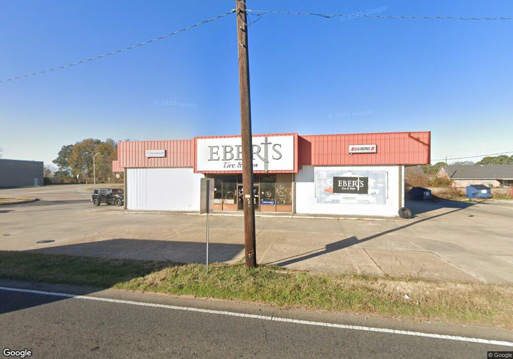
903 Sterlington Rd Monroe, LA 71203
Midtown Neighborhood
--
Bed
--
Bath
6,210
Sq Ft
0.56
Acres
About This Home
This home is located at 903 Sterlington Rd, Monroe, LA 71203. 903 Sterlington Rd is a home located in Ouachita Parish with nearby schools including Cypress Point Elementary School, Neville Junior High School, and Neville High School.
Ownership History
Date
Name
Owned For
Owner Type
Purchase Details
Closed on
Nov 12, 2021
Sold by
903 Sterlington Road Property Llc
Bought by
Eberts Tire Company
Home Financials for this Owner
Home Financials are based on the most recent Mortgage that was taken out on this home.
Original Mortgage
$305,000
Outstanding Balance
$279,557
Interest Rate
3.01%
Mortgage Type
New Conventional
Create a Home Valuation Report for This Property
The Home Valuation Report is an in-depth analysis detailing your home's value as well as a comparison with similar homes in the area
Home Values in the Area
Average Home Value in this Area
Purchase History
| Date | Buyer | Sale Price | Title Company |
|---|---|---|---|
| Eberts Tire Company | -- | Hastings Eugene | |
| Eberts Tire Company | $385,000 | Hastings Eugene |
Source: Public Records
Mortgage History
| Date | Status | Borrower | Loan Amount |
|---|---|---|---|
| Open | Eberts Tire Company | $305,000 | |
| Closed | Eberts Tire Company | $305,000 |
Source: Public Records
Tax History Compared to Growth
Tax History
| Year | Tax Paid | Tax Assessment Tax Assessment Total Assessment is a certain percentage of the fair market value that is determined by local assessors to be the total taxable value of land and additions on the property. | Land | Improvement |
|---|---|---|---|---|
| 2024 | $3,157 | $28,967 | $11,852 | $17,115 |
| 2023 | $3,157 | $28,403 | $11,288 | $17,115 |
| 2022 | $3,018 | $28,527 | $11,288 | $17,239 |
| 2021 | $3,011 | $28,527 | $11,288 | $17,239 |
| 2020 | $3,011 | $28,527 | $11,288 | $17,239 |
| 2019 | $2,864 | $27,304 | $7,260 | $20,044 |
| 2018 | $2,868 | $27,304 | $7,260 | $20,044 |
| 2017 | $3,023 | $27,304 | $7,260 | $20,044 |
| 2016 | $3,021 | $27,304 | $7,260 | $20,044 |
| 2015 | $3,013 | $27,304 | $7,260 | $20,044 |
| 2014 | $3,013 | $27,304 | $7,260 | $20,044 |
| 2013 | $3,066 | $29,220 | $7,260 | $21,960 |
Source: Public Records
Map
Nearby Homes
- 0 Ferrand St
- 6565 U S 165
- 405 Sheridan Ave
- 303 N Mcguire Ave
- 3105 Armand Connector
- 4110 Loop Rd
- 3800 Spurgeon Dr Unit A-C
- 2901 Louisville Ave
- 4207 Spurgeon Dr
- 2808 Lasalle St
- 3404 Grammont St
- 3705 Gouville Dr
- 309 Bell Ave
- 1800 University Place
- 4003 Gerald St
- 2800 Anita Ln
- LOT 2 Sherrouse Ave
- 204 Gilbert St
- 3723 Lionel St
- 3611 Deborah Dr
- 2404 Ferrand St
- 801 Sterlington Rd
- 830 U S 165
- 2399 Ferrand St Unit Suite C
- 2399 Ferrand St Unit H
- 2399 Ferrand St Unit G
- 2399 Ferrand St Unit Suites A-H
- 2399 Ferrand St Unit Suite F, Unit E
- 2399 Ferrand St
- 1000 Cole Ave
- 701 Sterlington Rd
- 902 Cole Ave
- 906 Cole Ave
- 1100 Sterlington Rd
- 1100 Highway 165 Unit Sterlington Rd.
- 1101 Cole Ave
- 1004 Cole Ave
- 815 N 35th St
- 2502 Ferrand St
- 817 N 35th St