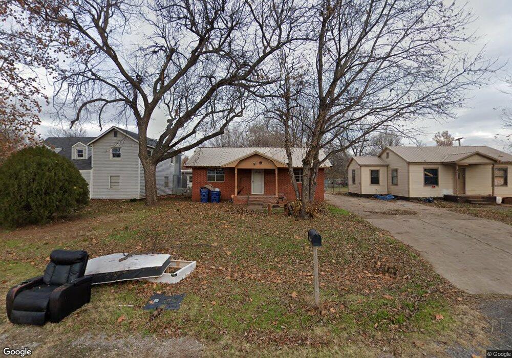
903 SW 2nd St Lindsay, OK 73052
Estimated Value: $79,198 - $101,000
2
Beds
1
Bath
1,012
Sq Ft
$86/Sq Ft
Est. Value
About This Home
This home is located at 903 SW 2nd St, Lindsay, OK 73052 and is currently estimated at $86,800, approximately $85 per square foot. 903 SW 2nd St is a home located in Garvin County with nearby schools including Lindsay Elementary School, Lindsay Middle School, and Lindsay High School.
Ownership History
Date
Name
Owned For
Owner Type
Purchase Details
Closed on
Feb 19, 2020
Sold by
Elmore Brian N and Elmore Tammy
Bought by
Brown Jill and Cable John
Current Estimated Value
Purchase Details
Closed on
Jan 31, 2020
Sold by
Clark Jennifer N and Howeth Jennifer N
Bought by
Elmore Brian N
Purchase Details
Closed on
Feb 8, 2007
Sold by
Elmore Brian N
Bought by
Elmore Brian N and Clark Jennifer N
Home Financials for this Owner
Home Financials are based on the most recent Mortgage that was taken out on this home.
Original Mortgage
$51,000
Interest Rate
6.13%
Mortgage Type
New Conventional
Purchase Details
Closed on
Aug 16, 2002
Sold by
Wagstaff Foy and Wagstaff Shirlean
Bought by
Breedlove Paul and Breedlove Wanda
Create a Home Valuation Report for This Property
The Home Valuation Report is an in-depth analysis detailing your home's value as well as a comparison with similar homes in the area
Home Values in the Area
Average Home Value in this Area
Purchase History
| Date | Buyer | Sale Price | Title Company |
|---|---|---|---|
| Brown Jill | $28,000 | None Available | |
| Brown Jill | $28,000 | None Listed On Document | |
| Elmore Brian N | -- | None Listed On Document | |
| Elmore Brian N | -- | -- | |
| Elmore Brian N | $50,000 | -- | |
| Breedlove Paul | $26,500 | -- |
Source: Public Records
Mortgage History
| Date | Status | Borrower | Loan Amount |
|---|---|---|---|
| Previous Owner | Elmore Brian N | $51,000 |
Source: Public Records
Tax History Compared to Growth
Tax History
| Year | Tax Paid | Tax Assessment Tax Assessment Total Assessment is a certain percentage of the fair market value that is determined by local assessors to be the total taxable value of land and additions on the property. | Land | Improvement |
|---|---|---|---|---|
| 2024 | $568 | $6,919 | $309 | $6,610 |
| 2023 | $568 | $6,590 | $309 | $6,281 |
| 2022 | $557 | $6,329 | $309 | $6,020 |
| 2021 | $536 | $6,027 | $309 | $5,718 |
| 2020 | $495 | $5,740 | $309 | $5,431 |
| 2019 | $537 | $6,264 | $309 | $5,955 |
| 2018 | $561 | $6,471 | $309 | $6,162 |
| 2017 | $542 | $6,163 | $309 | $5,854 |
| 2016 | $530 | $6,096 | $397 | $5,699 |
| 2015 | $500 | $6,064 | $397 | $5,667 |
| 2014 | $483 | $5,775 | $397 | $5,378 |
Source: Public Records
Map
Nearby Homes
- 306 W Comanche St
- 611 SW 6th St
- 410 W Comanche St
- 609 SW 6th St
- 410 W Creek St
- 404 W Creek St
- 303 SW 5th St
- 308 SW 6th St
- 405 W Choctaw St
- 0 Oklahoma 19
- 610 W Choctaw St
- 918 W Cherokee Place
- 1009 W Cherokee Place
- 0000 E Cr 1520 Roads
- 407 Pryor Dr
- 1007 NW 7th St
- 712 Cinmac St
- 406 Winona Blvd
- 1101 NW 7th St
- 409 Olive Blvd